Last updated: July 5, 2024
Article
NPS Geodiversity Atlas—Harpers Ferry National Historical Park, West Virginia, Virginia, and Maryland
Geodiversity refers to the full variety of natural geologic (rocks, minerals, sediments, fossils, landforms, and physical processes) and soil resources and processes that occur in the park. A product of the Geologic Resources Inventory, the NPS Geodiversity Atlas delivers information in support of education, Geoconservation, and integrated management of living (biotic) and non-living (abiotic) components of the ecosystem.

Introduction
Harpers Ferry National Historical Park (HAFE) lies at the confluence of the Potomac and Shenandoah Rivers in Washington County, Maryland, Loudoun County, Virginia, and Jefferson County, West Virginia. Authorized as a national monument on June 30, 1944, the park unit was redesignated on May 29, 1963. Encompassing approximately 1,484 hectares (3,669 acres), HAFE is a public national memorial commemorating several historical events that include the arrival of the first successful American railroad, the first successful application of interchangeable manufactured parts, John Brown’s Raid of 1859, the largest surrender of federal troops during the Civil War, education of former slaves, and the beginning of the modern civil rights movement (National Park Service 2016a). Situated near the border between the North and South, Harpers Ferry played a strategic role in the Civil War as a gateway into the Shenandoah Valley and a backdoor to Washington, D.C. The fight for control of Harpers Ferry resulted in five battles in three successive years, where the stronghold changed hands eight times during the Civil War. The geography of HAFE, including the mountain gap at the confluence of the Potomac and Shenandoah Rivers, made the region a key crossroads from the times of the earliest human habitation to the present (National Park Service 2016b).Geologic Setting
Situated in the Blue Ridge physiographic province, the geology of Harpers Ferry National Historical Park is predominantly composed of ancient Precambrian and Cambrian metamorphic and meta-igneous rocks that have been heavily deformed as a result of numerous tectonic events that culminated in the construction of the Appalachian Mountains. The oldest basement rocks in HAFE are located in Loudoun Valley and consist of Mesoproterozoic-age metagranite and the Neoproterozoic Catoctin and Swift Run Formations. The Catoctin basalts and sedimentary strata of the Swift Run Formation were deposited in a dynamic environment characterized by steep topography and local interaction between lava flows and stream systems, producing a series of complexly interlayered deposits (Badger 1999; Tollo et al. 2004). Several Cambrian-age units form the precipitous slopes in the western portion of HAFE and include the Chilhowee Group (Loudoun, Weverton, Harpers, and Antietam Formations), Tomstown Formation, and Waynesboro Formation. The youngest bedrock mapped in HAFE are Jurassic-age diabase dikes that intrude older strata in the eastern portion of the park. The major geologic structure underlying the area of HAFE is the late Permian-age Blue Ridge anticlinorium, an asymmetric regional-scale fold that extends for more than 400 km (250 mi) from southern Pennsylvania southwest as far as Lynchburg, Virginia (Reed 1969).
Paleontological Resources
All NPS fossil resources are protected under the Paleontological Resources Preservation Act of 2009 (Public Law 111-11, Title VI, Subtitle D; 16 U.S.C. §§ 470aaa - 470aaa-11).
Cave and Karst
All NPS cave resources are protected under the the Federal Cave Resources Protection Act of 1988 (FCRPA)(16 U.S.C. § 4301 et seq.).
Regional Geology
Harpers Ferry National Historical Park is a part of the Valley and Ridge Physiographic Province and shares its geologic history and some characteristic geologic formations with a region that extends well beyond park boundaries.
- Scoping summaries are records of scoping meetings where NPS staff and local geologists determined the park’s geologic mapping plan and what content should be included in the report.
- Digital geologic maps include files for viewing in GIS software, a guide to using the data, and a document with ancillary map information. Newer products also include data viewable in Google Earth and online map services.
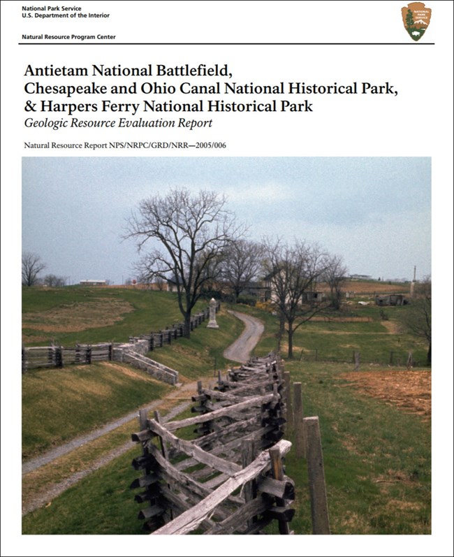
- Reports use the maps to discuss the park’s setting and significance, notable geologic features and processes, geologic resource management issues, and geologic history.
- Posters are a static view of the GIS data in PDF format. Newer posters include aerial imagery or shaded relief and other park information. They are also included with the reports.
- Projects list basic information about the program and all products available for a park.
Source: NPS DataStore Saved Search 2895. To search for additional information, visit the NPS DataStore.
A NPS Soil Resources Inventory project has been completed for Harpers Ferry National Historical Park and can be found on the NPS Data Store.
Source: NPS DataStore Saved Search 2966. To search for additional information, visit the NPS DataStore.

Related Links
Related Articles
Harpers Ferry National Historical Park
National Park Service Geodiversity Atlas
The servicewide Geodiversity Atlas provides information on geoheritage and geodiversity resources and values within the National Park System. This information supports science-based geoconservation and interpretation in the NPS, as well as STEM education in schools, museums, and field camps. The NPS Geologic Resources Division and many parks work with National and International geoconservation communities to ensure that NPS abiotic resources are managed using the highest standards and best practices available.
