Last updated: July 5, 2024
Article
NPS Geodiversity Atlas—Haleakalā National Park, Hawai'i
Geodiversity refers to the full variety of natural geologic (rocks, minerals, sediments, fossils, landforms, and physical processes) and soil resources and processes that occur in the park. A product of the Geologic Resources Inventory, the NPS Geodiversity Atlas delivers information in support of education, Geoconservation, and integrated management of living (biotic) and non-living (abiotic) components of the ecosystem.

Introduction
Haleakalā National Park (HALE) is located on the southeastern side of Maui, the second-largest island in the Hawaiian Island chain. Originally established as a part of Hawai‘i National Park on August 1, 1916, the park was renamed on September 13, 1960, and designated a Biosphere Reserve in 1980 (National Park Service 2016). HALE protects approximately 13,461 hectares (33,265 acres) of wild volcanic landscape with a wide array of fragile and diverse native ecosystems, including rare and endangered plant and animal species found nowhere else on Earth. The park is characterized by starkly contrasting mountain and coastal environments, with a landscape that consists of a relatively stark and rugged crater, summit, gently sloping shield flank areas, and basalt flows that form broad, sloping benches or terraces (Thornberry-Ehrlich 2011a). Within a few kilometers or miles from the coast, the topography within HALE rises dramatically in elevation to 3,055 m (10,023 ft) at the summit of the shield volcano Haleakalā. The northern and eastern slopes of Haleakalā and the rain forests of the upper Kīpahulu Valley are among the richest botanical regions in Hawai‘i and home to some of the world’s rarest birds, plants, and invertebrates.
Geologic Setting
The geology of Haleakalā predominantly consists of Pleistocene and younger igneous rock units that can be subdivided into lava flows, vent deposits, and tephras of the Kula Volcanics and Hāna Volcanics. Older deposits of the Kula Volcanics can be found throughout the park but are buried by younger volcanic rocks of the Hāna Volcanics in areas such as Kaupō Gap, Ko‘olau Gap, and Kīpahulu Valley. The volcanic landscape of HALE is dominated by Haleakalā, a large shield volcano that measures about 32 km (20 mi) in circumference and makes up three-quarters of Maui. In several places the rim of Haleakalā Crater rises more than 762 m (2,500 ft) above the crater floor. East of the volcano rim, the rain forest valley of Kīpahulu drops thousands of meters or feet towards the coast (Thornberry-Ehrlich 2011a).
Volcanic Resources
Haleakalā Crater is a 10,023-foot cooled remnant of the volcanic history of a once-very active volcano on the island of Maui. There is considerable debate as to the last date of eruption, with some estimates putting it in the late 1700’s. As part of the Hawaiian Ridge -Emperor Seamount Chain, Maui is the second largest and second youngest of the seven Hawaiian Islands. This chain of volcanoes is the result of hot-spot volcanism where a tectonic plate moves over a relatively stationary spot of intense heat in the mantle. Haleakalā National Park is on the southeastern side of Maui and contains the Haleakalā volcanic mass. This volcanic mass is the larger of the two volcanic masses present on Maui. Growth of Hawaiian volcanoes generally occur over four stages: pre-shield, shield, post-shield, and rejuvenated. Haleakalā is thought to be in the post-shield stage.
The lava exposed on Haleakalā includes lower viscosity “ropy flows” (also called pāhoehoe) and the higher viscosity “rough and jagged flows” (also called ʻaʻā). Interlayered with these flows are thin tephra deposits (Thornberry-Ehrlich 2011). The volcanic rocks exposed at Haleakalā were produced by three phases of volcanic activity- the Honomanū (age ranges from 1.1 to 0.97 million years), Kula (age ranges from 930,000 to 150,000 years), and Hāna (potentially still active) phases.
Paleontological Resources
Paleontological resources were found in two lava tubes at Haleakalā between 1984 and 1988. The fossils discovered in the caves range in age from Pleistocene to recent and are of extinct and extant avifauna. These fossil resources increase the endemic terrestrial bird fauna on the island of Maui from 10 to at least 29 species (Hunt et al. 2007).
All NPS fossil resources are protected under the Paleontological Resources Preservation Act of 2009 (Public Law 111-11, Title VI, Subtitle D; 16 U.S.C. §§ 470aaa - 470aaa-11).
Cave and Karst
There are at least 24 known lava tube caves in the Park.
Park caves contain at least two endemic troglobitic ground beetles, an earthworm that is a new family record for the Hawaiian Islands, and a millipede and collembola that are undescribed. Fossils of birds were collected from lava tubes, sinkholes, and sand dunes and are mentioned under paleontological resources.
All NPS cave resources are protected under the the Federal Cave Resources Protection Act of 1988 (FCRPA)(16 U.S.C. § 4301 et seq.).
Coastal
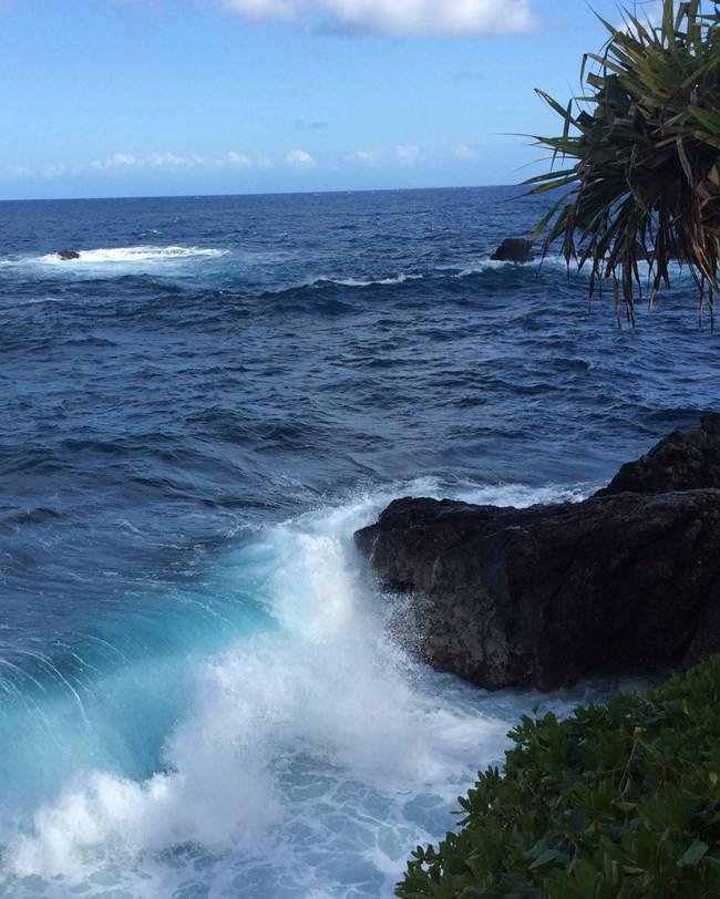
Haleakalā National Park protects about 5 km (3 mi) of coastal environments on the eastern side of Maui (Thornberry-Ehrlich 2011).
Geothermal
As part of the Geothermal Steam Act of 1970 (as amended in 1988) Haleakalā National Park is required to have an inventory of significant geothermal features. Three major rift zones were examined at Haleakalā in 1985 for inclusion as a Potential Geothermal Resource Area (PGRA). Geophysical soundings indicated that thermal groundwater may be present at less than 3 m depth for some of Maui (Thomas 1985, 1986; Thornberry-Ehrlich 2011).
Glacial Resources
Haleakalā National Park retains evidence of Pleistocene glaciation and shows the volcano may have experienced as many as 10 glacial advances. The first glaciation of Haleakalā began approximately 800,000 years ago when the summit was above the snowline and continued for 400,000 years (Thornberry-Ehrlich 2011).
- Scoping summaries are records of scoping meetings where NPS staff and local geologists determined the park’s geologic mapping plan and what content should be included in the report.
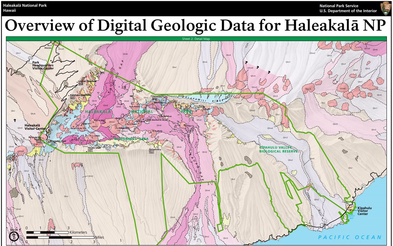
- Digital geologic maps include files for viewing in GIS software, a guide to using the data, and a document with ancillary map information. Newer products also include data viewable in Google Earth and online map services.
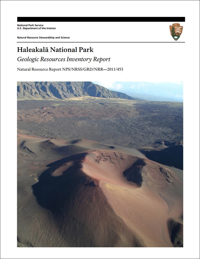
- Reports use the maps to discuss the park’s setting and significance, notable geologic features and processes, geologic resource management issues, and geologic history.
- Posters are a static view of the GIS data in PDF format. Newer posters include aerial imagery or shaded relief and other park information. They are also included with the reports.
- Projects list basic information about the program and all products available for a park.
Source: NPS DataStore Saved Search 2894. To search for additional information, visit the NPS DataStore.
A NPS Soil Resources Inventory project has been completed for Haleakalā National Park and can be found on the NPS Data Store.
Source: NPS DataStore Saved Search 2965. To search for additional information, visit the NPS DataStore.
Related Articles
Haleakalā National Park
National Park Service Geodiversity Atlas
The servicewide Geodiversity Atlas provides information on geoheritage and geodiversity resources and values within the National Park System. This information supports science-based geoconservation and interpretation in the NPS, as well as STEM education in schools, museums, and field camps. The NPS Geologic Resources Division and many parks work with National and International geoconservation communities to ensure that NPS abiotic resources are managed using the highest standards and best practices available.


