Last updated: July 5, 2024
Article
NPS Geodiversity Atlas—Hagerman Fossil Beds National Monument, Idaho
Geodiversity refers to the full variety of natural geologic (rocks, minerals, sediments, fossils, landforms, and physical processes) and soil resources and processes that occur in the park. A product of the Geologic Resources Inventory, the NPS Geodiversity Atlas delivers information in support of education, Geoconservation, and integrated management of living (biotic) and non-living (abiotic) components of the ecosystem.

Introduction
Hagerman Fossil Beds National Monument (HAFO) lies just west of the town of Hagerman, Idaho within a scenic landscape of sandy bluffs, basalt canyons, waterfalls, and hot springs in Gooding and Twin Falls Counties, southern Idaho. Established November 18, 1988, HAFO encompasses approximately 1,760 hectares (4,351 acres) and contains important Blancan Land Mammal Age fossils, including the Hagerman Horse Quarry, from the Pliocene Epoch (5.3 to 2.6 million years ago) (National Park Service 2016a). HAFO has yielded more than 200 fossilized plant and animal species and is recognized as one of North America’s most important localities concerning the evolution of the horse. The purpose of HAFO is to preserve the outstanding paleontological resources, to serve as a center for furthering scientific research, and to broaden public understanding of geology, paleontology and the significance of the Hagerman fossil record (National Park Service 2015a). The monument is also designated as the Hagerman Fauna Sites National Natural Landmark.
Geologic Setting
The geology of Hagerman Fossil Beds consists of layers of sedimentary and volcanic rock that compose bluffs that have been deeply incised by arroyos to form steep slopes. The formations exposed in the monument fall into either the Idaho Group or the Snake River Group and include the Pliocene Glenns Ferry Formation and the Pleistocene Tuana Gravel and Yahoo Clay. The Glenns Ferry Formation is the source of the majority of the fossils found the monument and records a variety of ancient depositional environments including wetland, riparian, lacustrine and grassland ecosystems (Graham 2009). The diversity and richness of species preserved in the fossil sites provide an important opportunity to conduct research to reconstruct the ancient Pliocene paleoenvironment. Some of the fossil species collected from the Glenns Ferry Formation in HAFO have been found nowhere else on Earth.
Geologic Features and Processes
Hagerman Fossil Beds National Monument is a world-renowned paleontological site based on the exceptional abundance and diversity of Pliocene fossils. The Hagerman horse (Equus simplicidens) is recognized as the official fossil for the state of Idaho. Over 550 fossil localities are documented on the arid slopes between the west bank of the Snake River and the Bruneau Plateau.
Hagerman Fossil Beds National Monument is located at the contact between the basalt-dominated Eastern Snake River Plain and the sediment-dominated Western Snake River Plain near the southeastern margin of ancient Lake Idaho. The general geology of the monument consists primarily of stream and lake sediments of the Pliocene Glenns Ferry, early Pleistocene Tuana Gravels, and Pleistocene Yahoo Clay of the Idaho Group. These formations lie unconformably on the siliceous Miocene-aged Idavada Volcanics. The Glenns Ferry Formation contains sediments inter-bedded with occasional basalt flows, silicic volcanic ash, and basaltic pyroclastic deposits, ranging in age from 1.8 - 3.5 million years old. The sediments represent deposition within lake, stream and flood plain environments.
Paleontological Resources
The Glenns Ferry Formation is the fossil producing unit at Hagerman Fossil Beds and represents a range of ancient terrestrial environments including wetland, riparian, lacustrine, and grassland savanna ecosystems. These unconsolidated sediments exposed within Hagerman Fossil Beds have yielded a remarkable diversity and abundance of fossils. Currently there are in excess of 500 known individual fossil localities within the monument, which have produced over 145 separate species of plants and animals, 44 of which are holotypes.
Data from Hagerman Fossil Beds also records the ecological response of various species and their environments to climate change during the Pliocene Paleontological research has been conducted in the Hagerman Fossil Beds area for more than half a century. An extensive body of literature related to the geology and paleontology of the area exists and is maintained by the park.
All NPS fossil resources are protected under the Paleontological Resources Preservation Act of 2009 (Public Law 111-11, Title VI, Subtitle D; 16 U.S.C. §§ 470aaa - 470aaa-11).
Geohazards
Landslides
Landslides have been a problem for Hagerman Fossil Beds in the past. Causes seem to involve the amounts of water supplied by natural precipitation and by man-made irrigation. Irrigation has ceased since approximately 2005, but because of the steepness of the topography and the nature of the geologic materials, the potential still exists for future landslide events.
Radioactivity
Radioactive geologic materials are known to exist at Hagerman Fossil Beds, both in the rocks and fossils. Uranium and radium are found in the basalt flows of the area and, in some cases, have been concentrated in fossil material. Radioactive materials pose a serious threat to human health and safety, so precautionary measures are needed while handling and preparing of some fossil material.
Regional Geology
Hagerman Fossil Beds is a part of the Columbia Plateau Physiographic Province and shares its geologic history and some characteristic geologic formations with a region that extends well beyond park boundaries.
- Scoping summaries are records of scoping meetings where NPS staff and local geologists determined the park’s geologic mapping plan and what content should be included in the report.
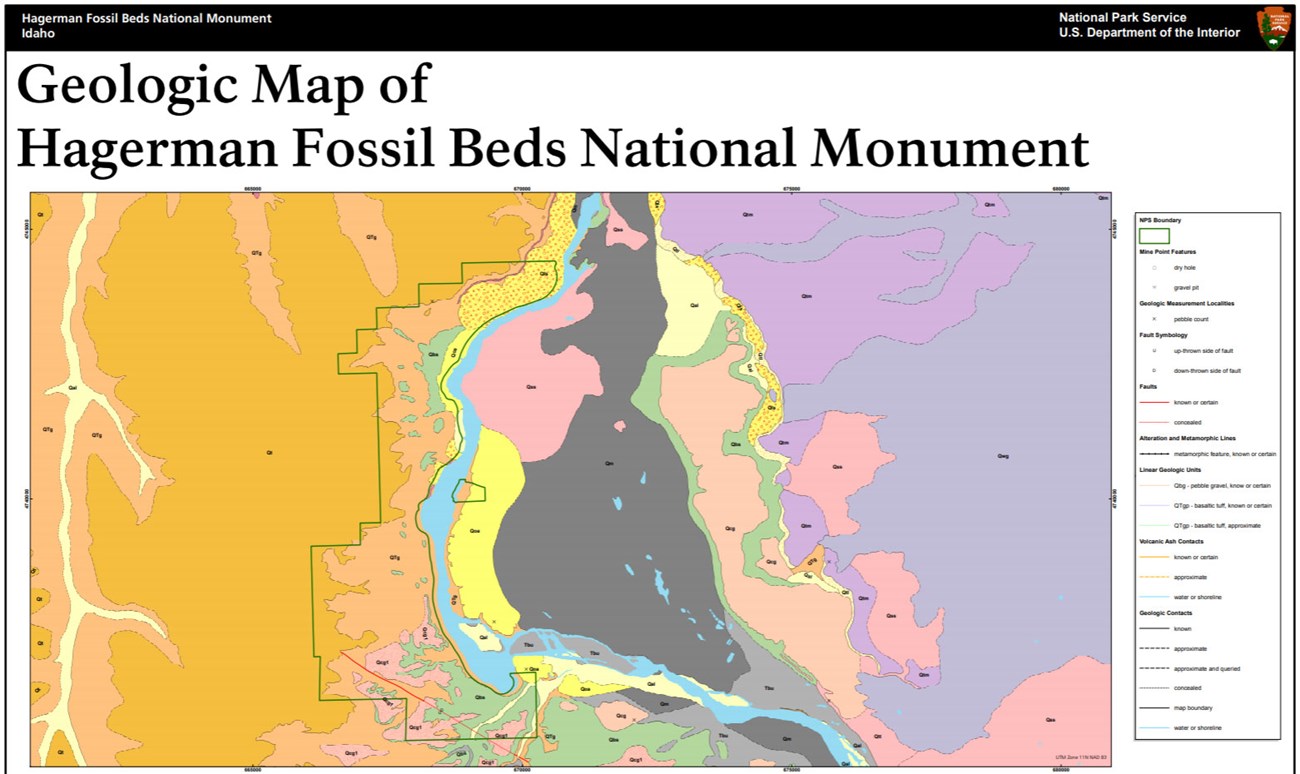
- Digital geologic maps include files for viewing in GIS software, a guide to using the data, and a document with ancillary map information. Newer products also include data viewable in Google Earth and online map services.
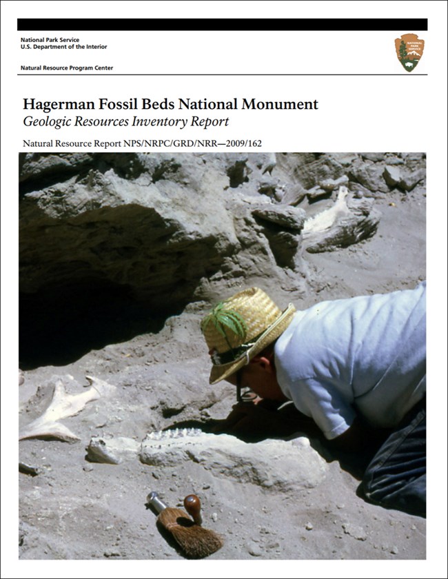
- Reports use the maps to discuss the park’s setting and significance, notable geologic features and processes, geologic resource management issues, and geologic history.
- Posters are a static view of the GIS data in PDF format. Newer posters include aerial imagery or shaded relief and other park information. They are also included with the reports.
- Projects list basic information about the program and all products available for a park.
Source: NPS DataStore Saved Search 2893. To search for additional information, visit the NPS DataStore.
A NPS Soil Resources Inventory project has been completed for Hagerman Fossil Beds National Monument and can be found on the NPS Data Store.
Source: NPS DataStore Saved Search 2964. To search for additional information, visit the NPS DataStore.
Related Articles
Hagerman Fossil Beds National Monument
National Park Service Geodiversity Atlas
The servicewide Geodiversity Atlas provides information on geoheritage and geodiversity resources and values within the National Park System. This information supports science-based geoconservation and interpretation in the NPS, as well as STEM education in schools, museums, and field camps. The NPS Geologic Resources Division and many parks work with National and International geoconservation communities to ensure that NPS abiotic resources are managed using the highest standards and best practices available.


