Last updated: February 10, 2025
Article
NPS Geodiversity Atlas—Great Sand Dunes National Park & Preserve, Colorado
Geodiversity refers to the full variety of natural geologic (rocks, minerals, sediments, fossils, landforms, and physical processes) and soil resources and processes that occur in the park. A product of the Geologic Resources Inventory, the NPS Geodiversity Atlas delivers information in support of education, Geoconservation, and integrated management of living (biotic) and non-living (abiotic) components of the ecosystem.

Introduction
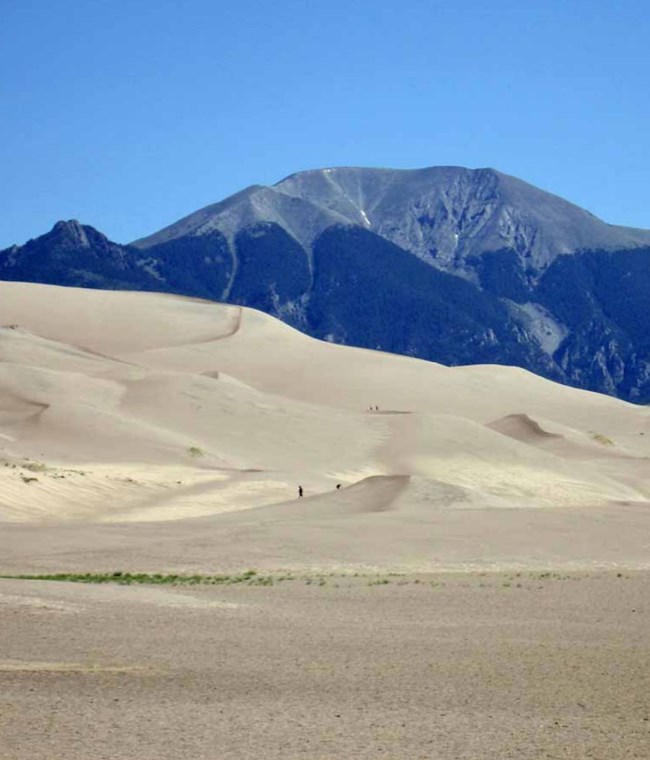
Great Sand Dunes National Park and Preserve (GRSA) is located in the San Luis Valley of Colorado and is home to the tallest sand dunes in North America, with some dunes rising 230 m (750 ft) above the valley floor. GRSA was originally established as a national monument March 17, 1932 and was redesignated as a national park and national preserve November 22, 2000. The national park encompasses 43,423.5 hectares (107,302 acres) of land, includes an 33,994 hectare (84,000 acre) dune field, alpine lakes, tundra, mountain peaks exceeding 3,962 m (13,000 ft), ancient spruce and pine forests, large strands of aspen and cottonwood, grasslands, and wetlands (Anderson 2017; Graham 2006).
Geologic Setting
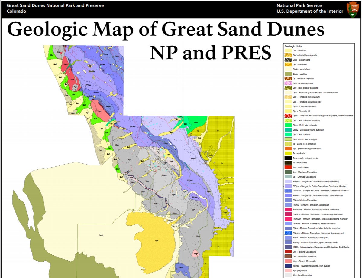
The geology of Great Sand Dunes and the Sangre de Cristo Mountains consists of Precambrian igneous and metamorphic rocks, Paleozoic and Mesozoic sedimentary rocks, Tertiary igneous and sedimentary rocks, and unconsolidated Quaternary sediments (Graham 2006). Precambrian rocks span the Early Proterozoic (2.5 to 1.6 billion years ago) and consist of quartz monzonite, diorite, and gneiss. Paleozoic and Mesozoic (320 to 146 million years ago) exposures are primarily shale, sandstone and conglomerate of the Upper Jurassic Morrison Formation, Middle Jurassic Entrada Sandstone, Pennsylvanian Minturn Formation, and the Pennsylvanian–Permian Sangre de Cristo Formation. Mississippian, Devonian, and Ordovician strata (485 to 323 million years ago) include the Lower Mississippian Leadville Limestone, the Mississippian(?) to Devonian Chaffee Group, the Upper Ordovician Fremont Dolomite, the Middle Ordovician Harding Sandstone, and the Lower Ordovician Manitou Limestone (Graham 2006). Silurian age rocks are not present in the region, and only rare exposures of the Cambrian Sawatch Quartzite are present. Tertiary rocks in the Sangre de Cristo Mountains consist of Oligocene and Miocene igneous rocks and the sedimentary rocks of the Miocene–Pliocene Santa Fe Formation (Graham 2006). A variety of unconsolidated Quaternary-age glacial, aeolian, and alluvial deposits have been mapped in GRSA and the western flank of the Sangre de Cristo Mountains (Lindsey et al. 1986).
Regional Geology
Great Sand Dunes National Park & Preserve is a part of the Southern Rocky Mountains Physiographic Province and shares its geologic history and some characteristic geologic formations with a region that extends well beyond park boundaries.
- Scoping summaries are records of scoping meetings where NPS staff and local geologists determined the park’s geologic mapping plan and what content should be included in the report.
- Digital geologic maps include files for viewing in GIS software, a guide to using the data, and a document with ancillary map information. Newer products also include data viewable in Google Earth and online map services.
- Reports use the maps to discuss the park’s setting and significance, notable geologic features and processes, geologic resource management issues, and geologic history.
- Posters are a static view of the GIS data in PDF format. Newer posters include aerial imagery or shaded relief and other park information. They are also included with the reports.
- Projects list basic information about the program and all products available for a park.
Source: NPS DataStore Saved Search 2888. To search for additional information, visit the NPS DataStore.
A NPS Soil Resources Inventory project has not been completed for Great Sand Dunes National Park & Preserve. General information can be found on the NPS Data Store.
Source: NPS DataStore Saved Search 2959. To search for additional information, visit the NPS DataStore.
Related Articles
Great Sand Dunes National Park & Preserve
National Park Service Geodiversity Atlas
The servicewide Geodiversity Atlas provides information on geoheritage and geodiversity resources and values within the National Park System. This information supports science-based geoconservation and interpretation in the NPS, as well as STEM education in schools, museums, and field camps. The NPS Geologic Resources Division and many parks work with National and International geoconservation communities to ensure that NPS abiotic resources are managed using the highest standards and best practices available.


