Last updated: July 3, 2024
Article
NPS Geodiversity Atlas—Grant-Kohrs Ranch National Historic Site, Montana
Geodiversity refers to the full variety of natural geologic (rocks, minerals, sediments, fossils, landforms, and physical processes) and soil resources and processes that occur in the park. A product of the Geologic Resources Inventory, the NPS Geodiversity Atlas delivers information in support of education, Geoconservation, and integrated management of living (biotic) and non-living (abiotic) components of the ecosystem.

Introduction
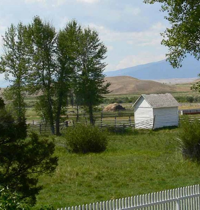
Grant-Kohrs Ranch National Historic Site (GRKO) is located in western Montana and was authorized as an NPS unit on August 25, 1972. The historic site was first developed into a ranch by John Francis Grant in 1862. Grant sold the ranch to Conrad Kohrs in 1866, who expanded the ranch by taking advantage of the free range in western Montana (Thornberry-Ehrlich 2007). Today this 655-hectare (1,618 acre) site serves as a living museum, and commemorates the frontier cattle ranch lifestyle through preservation, interpretation, and operation of an intact ranch (Anderson 2017). GRKO contains 90 historic structures and maintains an active ranch with an unbroken 150-year history (Thornberry-Ehrlich 2007).
Geologic Setting
Grant-Kohrs Ranch National Historic Site lies within the Northern Rocky Mountains Physiographic Province, which contains exposed geologic units ranging from Precambrian to Tertiary in age, as well as recent alluvial and glacial deposits (Thornberry-Ehrlich 2007). Pre-Tertiary rocks are complex and were folded and deformed multiple times due to immense tectonic forces associated with the Sevier and Laramide orogenic events. In the eastern mountains, igneous activity that formed the Cretaceous Boulder Batholith also concentrated vast mineral deposits. Sixteen different mining districts of the area are a result of this igneous activity (Madison et al. 1995). Along the western side of the valley, rocks consist of folded and faulted sedimentary units intruded by Cretaceous granitic to dioritic igneous dikes and stocks (Thornberry-Ehrlich 2007). Terraces and rolling hills along the valley consist of thick, unconsolidated alluvium deposits.
Abandoned Mineral Lands
NPS AML sites can be important cultural resources and habitat, but many pose risks to park visitors and wildlife, and degrade water quality, park landscapes, and physical and biological resources. Be safe near AML sites—Stay Out and Stay Alive!
Regional Geology
Grant-Kohrs Ranch National Historic Site is a part of the Northern Rocky Mountains Physiographic Province and shares its geologic history and some characteristic geologic formations with a region that extends well beyond park boundaries.
- Scoping summaries are records of scoping meetings where NPS staff and local geologists determined the park’s geologic mapping plan and what content should be included in the report.
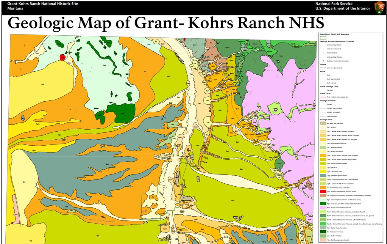
- Digital geologic maps include files for viewing in GIS software, a guide to using the data, and a document with ancillary map information. Newer products also include data viewable in Google Earth and online map services.
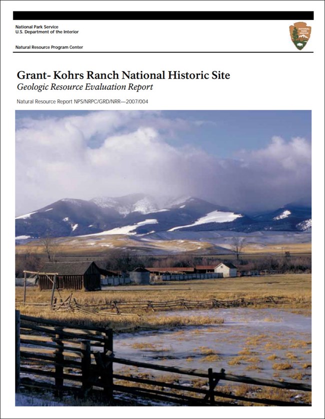
- Reports use the maps to discuss the park’s setting and significance, notable geologic features and processes, geologic resource management issues, and geologic history.
- Posters are a static view of the GIS data in PDF format. Newer posters include aerial imagery or shaded relief and other park information. They are also included with the reports.
- Projects list basic information about the program and all products available for a park.
Source: NPS DataStore Saved Search 2886. To search for additional information, visit the NPS DataStore.
A NPS Soil Resources Inventory project has been completed for Grant-Kohrs Ranch National Historic Site and can be found on the NPS Data Store.
Source: NPS DataStore Saved Search 2957. To search for additional information, visit the NPS DataStore.


