Last updated: July 3, 2024
Article
NPS Geodiversity Atlas—Golden Spike National Historic Site, Utah
Geodiversity refers to the full variety of natural geologic (rocks, minerals, sediments, fossils, landforms, and physical processes) and soil resources and processes that occur in the park. A product of the Geologic Resources Inventory, the NPS Geodiversity Atlas delivers information in support of education, Geoconservation, and integrated management of living (biotic) and non-living (abiotic) components of the ecosystem.

Introduction
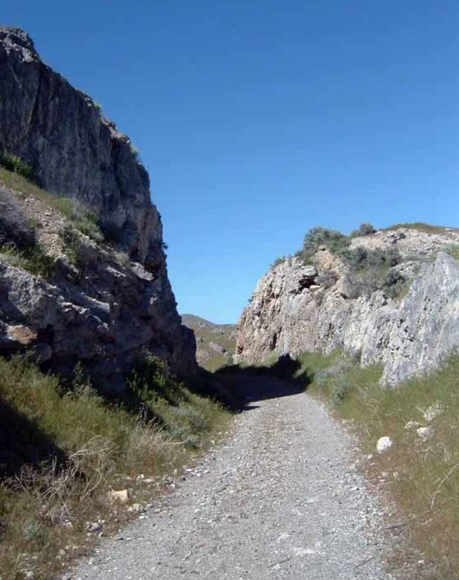
Golden Spike National Historical Park (GOSP) is located directly north of Great Salt Lake in Box Elder County, northern Utah. GOSP was established April 2, 1957 with a mission to preserve the historical context that surrounded the completion of the first transcontinental railroad across the United States. The joining of the Central Pacific and Union Pacific railroads at Golden Spike in 1869 is considered one of the greatest technological achievements and engineering marvels of the 19th century. The site encompasses 1,107 hectares (2,735 acres) and is situated against the Promontory Mountains, a geologic setting that posed a great challenge for railroad engineers (Anderson 2017). Visitors to GOSP can see some of the most complete relics of the grand era of railroad building, or walk and drive on the original railroad grade.
Geologic Setting
Geologic exposures in GOSP consist primarily of rocks from the Pennsylvanian, with vast unconsolidated Quaternary deposits that overlie these units (Thornberry-Ehrlich 2006b). As part of the Basin and Range physiographic province, the region contains many parallel ranges that developed as a result of extensional tectonics stretching the crust apart in a roughly east–west orientation. The surrounding Cedar, Oquirrh, and Promontory ranges to the west of the Wasatch Range, and the Cricket Mountains, Pavant, and Confusion ranges to the south and southwest are examples of parallel ranges (Thornberry-Ehrlich 2006b). Typical fault bound basins in the region surrounding GOSP include the Tule, Snake, and Great Salt Lake Valleys, as well as Cedar and Little Valleys, and Sevier Basin to the southwest.
Regional Geology
Golden Spike National Historic Site is a part of the Basin and Range Physiographic Province and shares its geologic history and some characteristic geologic formations with a region that extends well beyond park boundaries.
- Scoping summaries are records of scoping meetings where NPS staff and local geologists determined the park’s geologic mapping plan and what content should be included in the report.
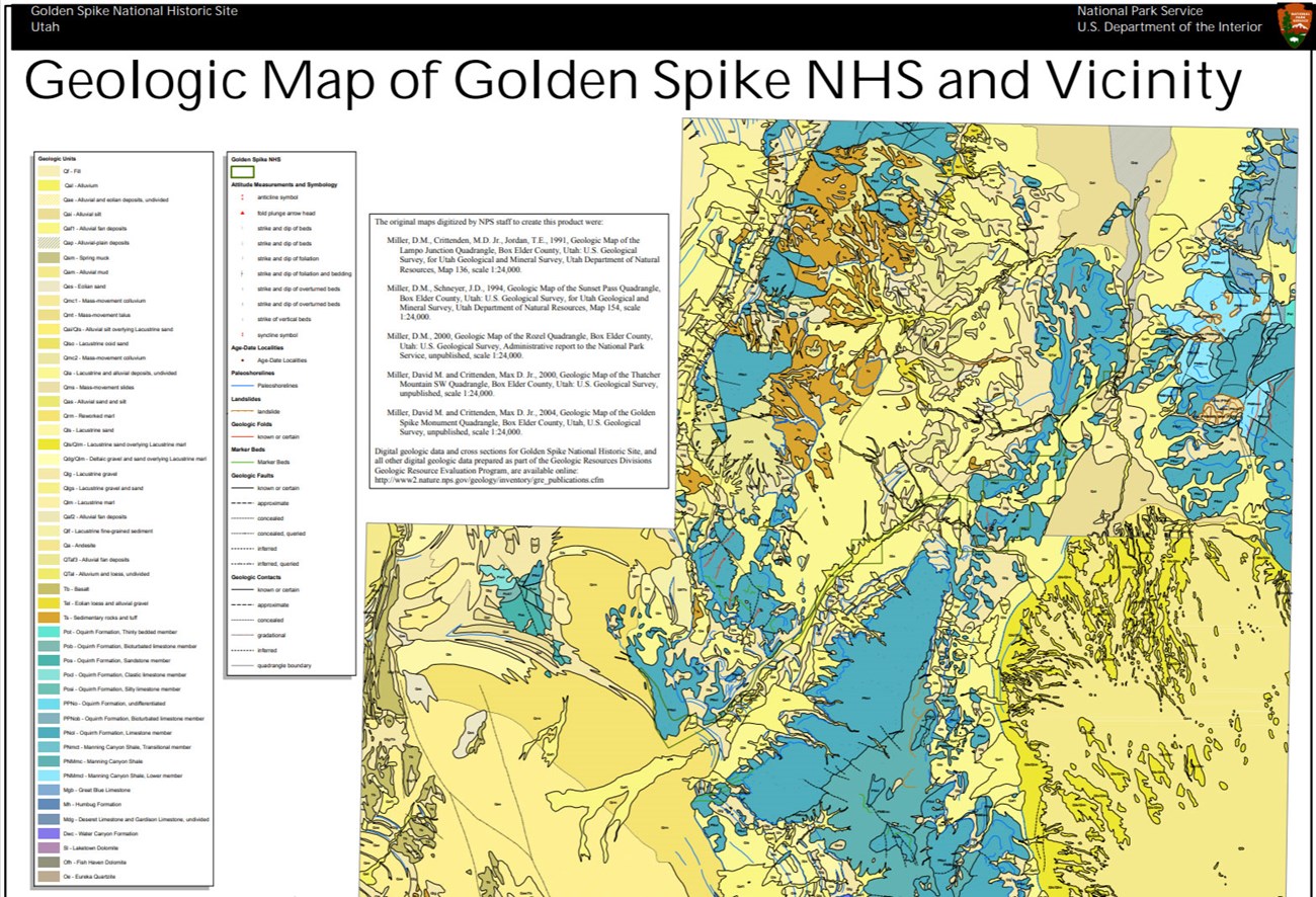
- Digital geologic maps include files for viewing in GIS software, a guide to using the data, and a document with ancillary map information. Newer products also include data viewable in Google Earth and online map services.
- Reports use the maps to discuss the park’s setting and significance, notable geologic features and processes, geologic resource management issues, and geologic history.
- Posters are a static view of the GIS data in PDF format. Newer posters include aerial imagery or shaded relief and other park information. They are also included with the reports.
- Projects list basic information about the program and all products available for a park.
Source: NPS DataStore Saved Search 2882. To search for additional information, visit the NPS DataStore.
A NPS Soil Resources Inventory project has been completed for Golden Spike
National Historic Site and can be found on the NPS Data Store.
Source: NPS DataStore Saved Search 2953. To search for additional information, visit the NPS DataStore.

Related Links

