Last updated: June 20, 2024
Article
NPS Geodiversity Atlas—Gila Cliff Dwellings National Monument, New Mexico
Geodiversity refers to the full variety of natural geologic (rocks, minerals, sediments, fossils, landforms, and physical processes) and soil resources and processes that occur in the park. A product of the Geologic Resources Inventory, the NPS Geodiversity Atlas delivers information in support of education, Geoconservation, and integrated management of living (biotic) and non-living (abiotic) components of the ecosystem.

Geologic Features and Processes
Gila Cliff Dwellings National Monument lies in the Mogollon–Datil volcanic field, one of the world’s great volcanic provinces (Ratté 1997). The entire province extends from northern Mexico to Colorado. In the Gila region, the volcanic rocks are part of a mid-Tertiary sequence of volcanism; the field was active for approximately 35 million years, from 40 million to less than 5 million years ago (Chapin et al. 2004).
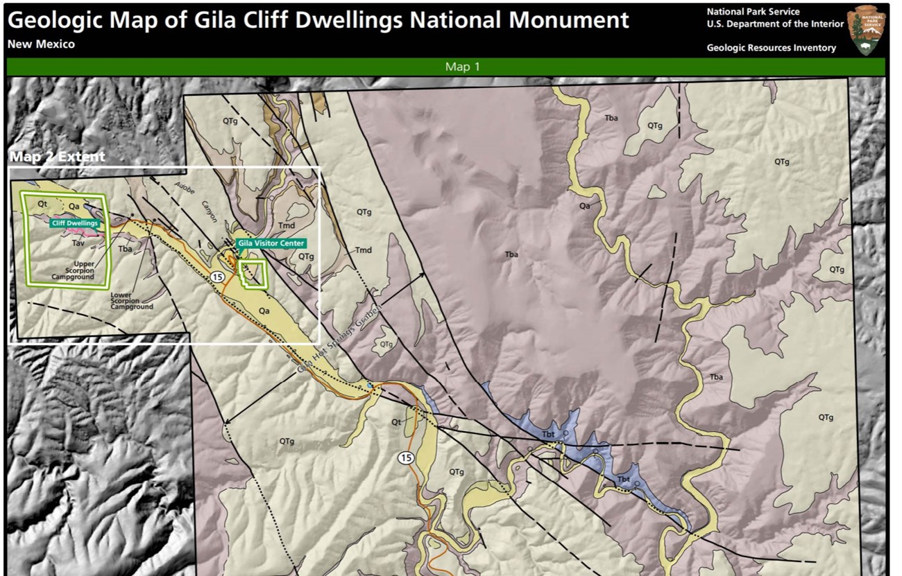
The Monument is in the 24-km- (15-mi-) wide Gila Cliff Dwellings caldera. The estimated center of the caldera is 6 km (4 mi) west of the mouth of Cliff Dweller Canyon. The buried eastern margin of the caldera is tentatively identified on both sides of the Gila River at Melanie hot spring, about a 0.8 km (0.5 mi) upstream from the bottom of the Alum Canyon trail where it reaches the river.
Both the Gila Cliff Dwellings and Bursum calderas have been dated at 28 million years ago, but the Gila Cliff Dwellings caldera collapsed first. This is known because the Gila Cliff Dwellings caldera is filled with 300 m (1,000 ft) or more of Bloodgood Canyon Tuff (Tbc or Tbt) that was erupted from and caused the collapse of the slightly younger Bursum caldera. Investigators used sanidine crystals, which flash blue in the sun and are popularly known as “moonstones,” to date the tuff.
Identification of the ignimbrite that erupted from and caused the collapse of the Gila Cliff Dwellings caldera is uncertain, but may be the Shelley Peak Tuff or Davis Canyon Tuff (Ratté and Stotelmeyer 1984; Ratté 2008; Ratté et al. 2014).
The present landscape of the monument is largely a result of erosion and faulting of mid-Tertiary volcanoes, as well as deposition of the eroded material by streams into local sedimentary basins, such as the Gila Hot Springs graben. This graben, which is an elongate, down dropped block of Earth’s crust, is the main structural feature in the Gila Hot Springs quadrangle (Ratté et al. 2014)
Paleontological Resources
Fossils are rare in volcanic settings such as the Mogollon-Datil volcanic field. However, packrat (Neotoma spp.) middens in the caves at the monument may provide paleontological information of the past 20,000 years. Quaternary deposits, such as alluvium and terrace gravels, may contain fossils. The Gila Conglomerate is a source of fossils elsewhere in the region, but none yet discovered at Gila Cliff Dwellings National Monument.
All NPS fossil resources are protected under the Paleontological Resources Preservation Act of 2009 (Public Law 111-11, Title VI, Subtitle D; 16 U.S.C. §§ 470aaa - 470aaa-11).
Cave and Karst
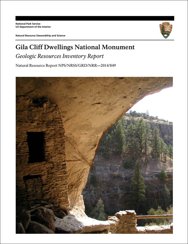
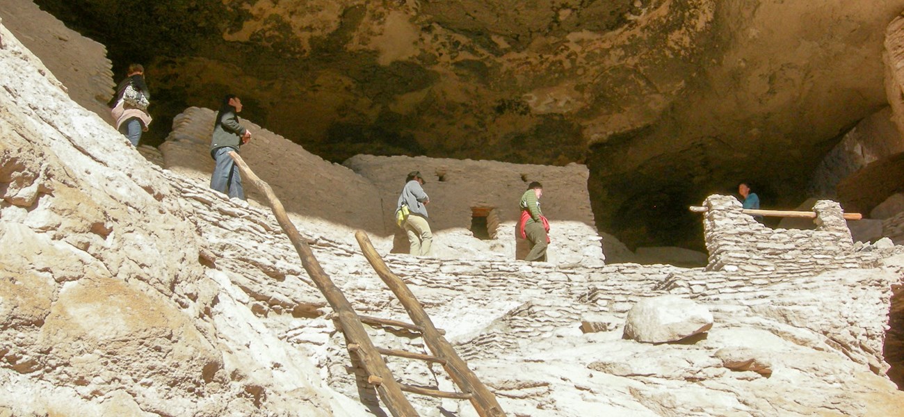
The most conspicuous geologic feature with cultural significance at Gila Cliff Dwellings National Monument is the Gila Conglomerate and the caves and cliff dwellings it contains. Due to the nature of the rock, many cavities, overhangs, and caves formed within the unit, inviting use by humans (Bradford 1992). These natural caves served as dwellings for two phases of occupation—the Mogollon (between about the 1270s and 1290s CE) and an earlier Archaic group of inhabitants (pre-500 CE). The seven closely spaced caves, which formed as a result of fluvial processes and groundwater sapping, are located on the northwestern side of Cliff Dweller Canyon, between 400 and 600 m (1,300 and 2,000 ft) from the mouth of the canyon, approximately 60 m (200 ft) above the narrow canyon floor. The dwellings within the caves consist of 50 coursed rock and masonry rooms and 50 additional open areas composed of courtyards, corridors, walkways, or patios (Nordby 2011). The shapes of the rooms were determined by the contours of the cave walls (Anderson et al. 1986).
All NPS cave resources are protected under the the Federal Cave Resources Protection Act of 1988 (FCRPA)(16 U.S.C. § 4301 et seq.).
Geohazards
Natural geologic processes continue to shape the park on time scales ranging from seconds to years. Natural materials and processes can create geologic hazards and associated risks. Be cautious and alert to geohazards that may be present in the park, including:
-
Rockfall
-
Spallling
-
Flooding
-
Post-Wildfire Sedimentation and Debris Flows
-
Seismic Activity
Regional Geology
Gila Cliff Dwellings is a part of the Basin and Range Physiographic Province and shares its geologic history and some characteristic geologic formations with a region that extends well beyond park boundaries.
- Scoping summaries are records of scoping meetings where NPS staff and local geologists determined the park’s geologic mapping plan and what content should be included in the report.
- Digital geologic maps include files for viewing in GIS software, a guide to using the data, and a document with ancillary map information. Newer products also include data viewable in Google Earth and online map services.
- Reports use the maps to discuss the park’s setting and significance, notable geologic features and processes, geologic resource management issues, and geologic history.
- Posters are a static view of the GIS data in PDF format. Newer posters include aerial imagery or shaded relief and other park information. They are also included with the reports.
- Projects list basic information about the program and all products available for a park.
Source: NPS DataStore Saved Search 2877. To search for additional information, visit the NPS DataStore.
A NPS Soil Resources Inventory project has been completed for Gila Cliff Dwellings National Monument and can be found on the NPS Data Store.
Source: NPS DataStore Saved Search 2948. To search for additional information, visit the NPS DataStore.

Related Links
Related Articles
Gila Cliff Dwellings National Monument
National Park Service Geodiversity Atlas
The servicewide Geodiversity Atlas provides information on geoheritage and geodiversity resources and values within the National Park System. This information supports science-based geoconservation and interpretation in the NPS, as well as STEM education in schools, museums, and field camps. The NPS Geologic Resources Division and many parks work with National and International geoconservation communities to ensure that NPS abiotic resources are managed using the highest standards and best practices available.

