Last updated: June 20, 2024
Article
NPS Geodiversity Atlas—George Washington Memorial Parkway, Washington D.C., Maryland, and West Virginia
Geodiversity refers to the full variety of natural geologic (rocks, minerals, sediments, fossils, landforms, and physical processes) and soil resources and processes that occur in the park. A product of the Geologic Resources Inventory, the NPS Geodiversity Atlas delivers information in support of education, Geoconservation, and integrated management of living (biotic) and non-living (abiotic) components of the ecosystem.

Introduction
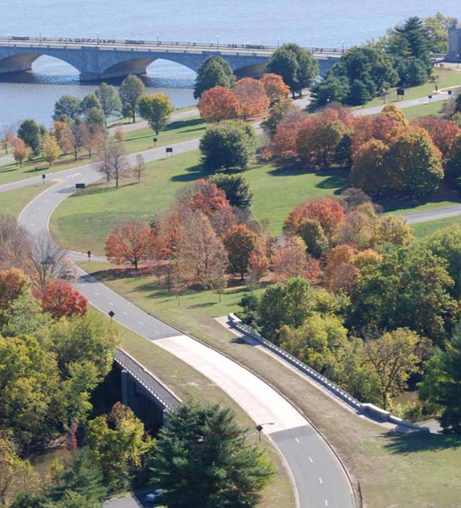
George Washington Memorial Parkway (GWMP) is a 45 km (28 mi)-long scenic roadway encompassing a comprehensive system of parks that runs along the Potomac River through Maryland (Montgomery County), Virginia (City of Alexandria, Arlington and Fairfax Counties), and Washington, D.C.. Authorized on May 29, 1930, GWMP contains 2,847 hectares (7,035 acres) and was developed as a memorial to the nation’s first president. The memorial parkway connects historic sites from Mount Vernon, where George Washington lived, past the nation’s capital, which he founded, to the Great Falls of the Potomac, where he demonstrated his skill as an engineer (National Park Service 2016a). Portions of GWMP represent the first comprehensively designed modern motorway constructed based on the idea of a landscaped, park-like roadway and pioneered many principles of federal freeway design such as limited access construction, gradeseparated intersections, and cloverleaf interchanges (National Park Service 2014a). Many historic, natural, and cultural sites are accessible along GWMP, including (from north to south): Great Falls Park; Turkey Run Park; Claude Moore Colonial Farm; Fort Marcy; Theodore Roosevelt Island; United States Marine Corps War Memorial; Netherlands Carillon; Arlington Memorial Bridge and Memorial Avenue; Women in Military Service for America Memorial; Arlington House: The Robert E. Lee Memorial; Lady Bird Johnson Park; Lyndon Baines Johnson Memorial Grove-on-thePotomac; Dyke Marsh Wildlife Preserve; and Fort Hunt Park (National Park Service 2014a).
Geologic Setting
The geology of GWMP is present over rocks that record a long interval of earth history spanning the Precambrian through the formation of the Appalachian Mountains to the recent Pleistocene ice ages and more modern geologic processes. The bedrock underlying GWMP experienced regional-scale metamorphism during the Taconic (470–450 million years ago), Acadian (410–360 million years ago), and Alleghenian (325–260 million years ago) Orogenies, resulting in a complex deformational history. The formation of the Appalachian Mountains uplifted strata that were later eroded and deposited as a thick wedge of sediments to the east toward the Atlantic Ocean creating the Coastal Plain physiographic province. Situated in portions of both the Piedmont and Atlantic Coastal Plain physiographic provinces, the landscape of GWMP contains rolling hills, river terraces, riverside marshes, and inlets that follow the course of the Potomac River as it flows toward Chesapeake Bay (Thornberry-Ehrlich 2009b). The oldest bedrock underlying the parkway is composed of the Neoproterozoic–Cambrian Mather Gorge Formation and other metasedimentary and meta-igneous rocks. Younger units of Paleozoic age that are mapped in GWMP include the Cambrian Sykesville Formation, Ordovician igneous and metamorphic rocks of the Dalecarlia and Georgetown intrusive suites, Bear Island Granodiorite, and Clarendon Granite. Mesozoic and Cenozoic strata are represented by the Cretaceous Potomac Formation, Paleocene Brightseat Formation and Aquia Formation, and abundant Quaternary-age alluvium and terrace deposits (Drake and Froelich 1997, Southworth and Denenny 2006).
Paleontological Resources
All NPS fossil resources are protected under the Paleontological Resources Preservation Act of 2009 (Public Law 111-11, Title VI, Subtitle D; 16 U.S.C. §§ 470aaa - 470aaa-11).
Abandoned Mineral Lands
NPS AML sites can be important cultural resources and habitat, but many pose risks to park visitors and wildlife, and degrade water quality, park landscapes, and physical and biological resources. Be safe near AML sites—Stay Out and Stay Alive!
Regional Geology
George Washington Memorial Parkway is in both the Coastal Plain Physiographic Province and the Piedmont Physiographic Province. The Parkway shares its geologic history and some characteristic geologic formations with a region that extends well beyond park boundaries.
- Scoping summaries are records of scoping meetings where NPS staff and local geologists determined the park’s geologic mapping plan and what content should be included in the report.
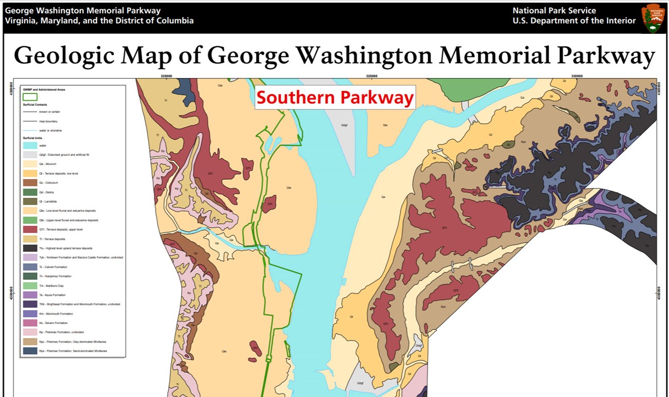
- Digital geologic maps include files for viewing in GIS software, a guide to using the data, and a document with ancillary map information. Newer products also include data viewable in Google Earth and online map services.
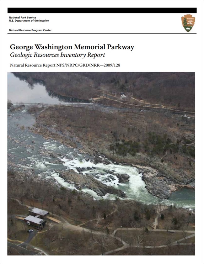
- Reports use the maps to discuss the park’s setting and significance, notable geologic features and processes, geologic resource management issues, and geologic history.
- Posters are a static view of the GIS data in PDF format. Newer posters include aerial imagery or shaded relief and other park information. They are also included with the reports.
- Projects list basic information about the program and all products available for a park.
Source: NPS DataStore Saved Search 2875. To search for additional information, visit the NPS DataStore.
A NPS Soil Resources Inventory project has been completed for George Washington Memorial Parkway and can be found on the NPS Data Store.
Source: NPS DataStore Saved Search 2946. To search for additional information, visit the NPS DataStore.
Related Articles
George Washington Memorial Parkway
National Park Service Geodiversity Atlas
The servicewide Geodiversity Atlas provides information on geoheritage and geodiversity resources and values within the National Park System. This information supports science-based geoconservation and interpretation in the NPS, as well as STEM education in schools, museums, and field camps. The NPS Geologic Resources Division and many parks work with National and International geoconservation communities to ensure that NPS abiotic resources are managed using the highest standards and best practices available.


