Last updated: June 18, 2024
Article
NPS Geodiversity Atlas—Fort Sumter & Fort Moultrie National Historical Park, South Carolina
Geodiversity refers to the full variety of natural geologic (rocks, minerals, sediments, fossils, landforms, and physical processes) and soil resources and processes that occur in the park. A product of the Geologic Resources Inventory, the NPS Geodiversity Atlas delivers information in support of education, Geoconservation, and integrated management of living (biotic) and non-living (abiotic) components of the ecosystem.

Introduction
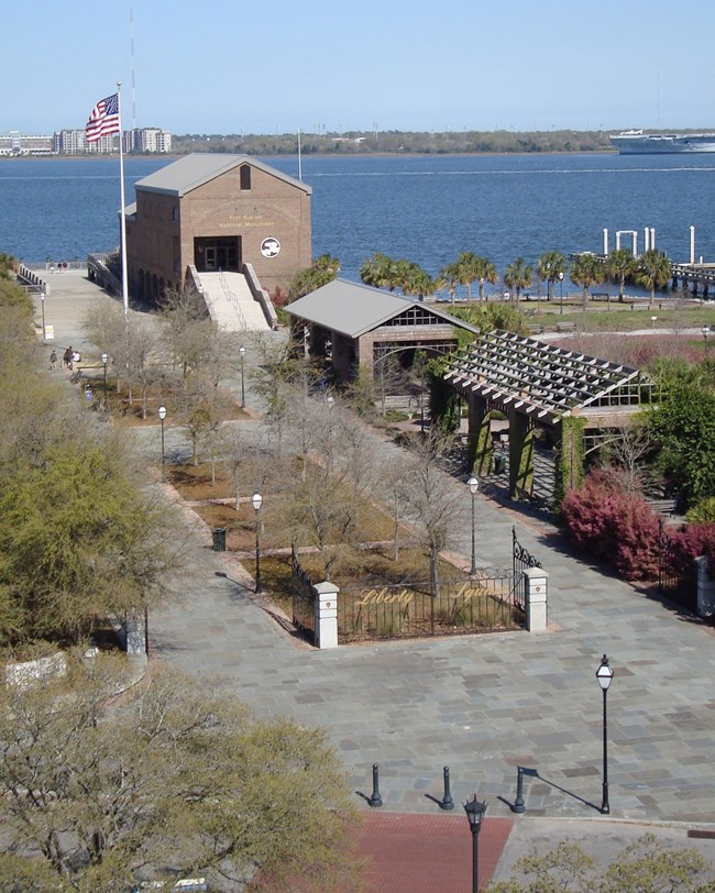
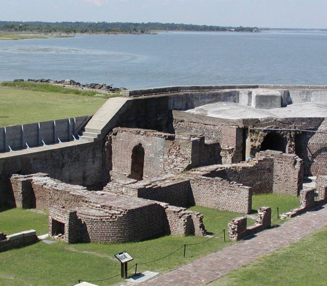
Fort Sumter and Fort Moultrie National Historical Park (FOSU), known as Fort Sumter National Monument until 2019, is located in and around Charleston Harbor in Charleston County, South Carolina. Authorized on April 28, 1948, FOSU contains approximately 95 hectares (235 acres) and preserves the sites of both Fort Sumter and Fort Moultrie while commemorating 171 years of American coastal defense spanning from the American Revolution through World War II (National Park Service 2016a). The national monument marks the site where the first shots of the American Civil War were fired, initiating one of the deadliest and most defining periods in the nation’s history. FOSU consists of four geographically separate areas: (1) Fort Sumter, an island fort situated at the entrance of Charleston Harbor; (2) Fort Moultrie, located 1.6 km (1.0 mi) northeast of the harbor entrance on Sullivan’s Island; (3) the U.S. Coast Guard Historic District on Sullivan’s Island, located 1.3 km (0.8 mi) east of Fort Moultrie; and (4) Liberty Square, home to the park’s visitor education center and tour boat facility (National Park Service 2016f). Due to its strategic location and role as a symbol of secession, Fort Sumter was one of the most heavily bombarded sites of the Civil War, effectively reducing the historic fortification to ruins.
Geologic Setting
The general setting of FOSU is that of the Atlantic Coastal Plain physiographic province, a relatively flat region defined by gently sloping marine terraces that developed in response to sea level fluctuations between the Pleistocene to the present. In general, the Atlantic Coastal Plain is comprised of Late Cretaceous and Cenozoic-age units that tend to decrease in elevation and age toward the Atlantic coast (Willoughby et al. 2005). The geologic units underlying FOSU consist of Quaternary-age beach and barrier island sands in addition to Holocene artificial fill. Fort Sumter is situated on an artificial island, built upon a foundation of granite, cement, and shells of an unknown local source (Barnes 1952). Fort Moultrie and the U.S. Coast Guard Historic District overlie a combination of artificial fill and Quaternary beach, barrier island, and estuarine deposits (Weems and Lemon 1993). The visitor education center at Liberty Square is also built upon artificial fill (Campbell et al. 1996).
Regional Geology
Fort Sumter and Fort Moultrie National Historical Park is a part of the Sea Island Section of the Coastal Plain Physiographic Province and shares its geologic history and some characteristic geologic formations with a region that extends well beyond park boundaries.
- Scoping summaries are records of scoping meetings where NPS staff and local geologists determined the park’s geologic mapping plan and what content should be included in the report.
- Digital geologic maps include files for viewing in GIS software, a guide to using the data, and a document with ancillary map information. Newer products also include data viewable in Google Earth and online map services.
- Reports use the maps to discuss the park’s setting and significance, notable geologic features and processes, geologic resource management issues, and geologic history.
- Posters are a static view of the GIS data in PDF format. Newer posters include aerial imagery or shaded relief and other park information. They are also included with the reports.
- Projects list basic information about the program and all products available for a park.
Source: NPS DataStore Saved Search 2863. To search for additional information, visit the NPS DataStore.
A NPS Soil Resources Inventory project has been completed for Fort Sumter and Fort Moultrie National Historical Park and can be found on the NPS Data Store.
Source: NPS DataStore Saved Search 2931. To search for additional information, visit the NPS DataStore.

