Last updated: June 17, 2024
Article
NPS Geodiversity Atlas—Fort Bowie National Historic Site, Arizona
Geodiversity refers to the full variety of natural geologic (rocks, minerals, sediments, fossils, landforms, and physical processes) and soil resources and processes that occur in the park. A product of the Geologic Resources Inventory, the NPS Geodiversity Atlas delivers information in support of education, Geoconservation, and integrated management of living (biotic) and non-living (abiotic) components of the ecosystem.

Geologic Features and Processes
Structural Features
Apache Pass Fault Zone
The Apache Pass fault zone is the most significant geologic feature in the Fort Bowie area and is characterized by steeply dipping and contorted rocks. Nearly 60 km (38 mi) of the 1- to- 2-km (0.6- to- 1.2-mi) wide fault zone is oriented northwest–southeast in the Apache Pass area (Drewes 1980; Bezy 2001). East of the parking area for the Fort Bowie trailhead, Apache Pass Road crosses the southwestern border fault of the Apache Pass fault zone and enters a thick section of sedimentary and volcanic rocks. Fault slivers of Permian limestone and clastic sedimentary rocks are exposed along the Overlook Ridge Trail. A trailside marker about 0.6 km (0.4 mi) along the Overlook Ridge Trail from the Visitor Center discusses the Apache Pass fault.
The Apache Pass fault zone contains examples of the three primary fault types. The Apache Pass fault was created about 1.4 billion years ago as a strike-slip fault. In such faults, rocks on one side of the fault plane move horizontally relative to those on the other side. Shattered sedimentary rocks within the Apache Pass fault zone have been moved more than 12 km (7.5 mi) southeast relative to the igneous rocks bordering the zone. The fault also exhibits a vertical, reverse fault component. Precambrian rocks on the southwestern side have been moved upward relative to the Paleozoic and Mesozoic strata on the northeastern side. Fault contact between the much younger, light-gray Horquilla Limestone (about 310 million years old) and the Proterozoic granodiorite (about 1.4 billion years old) is visible from Overlook Ridge.
Although the fault initially formed about 1.4 billion years ago, slippage has occurred throughout geologic time. Repeated horizontal and vertical movement has disturbed the once-horizontal sedimentary layers, creating tilted, broken, and elongated slices of rock that dip steeply to the southwest (Drewes 1984; Bezy 2001). During the extensional episode that produced the basin and- range topography, reverse faults that had been formed by compressive forces were reactivated as normal faults.
The complex system of high-angle fractures provides conduits for groundwater, which emerges as springs and seeps along the fault zone. Apache Spring is one of several springs that discharge along the Apache Pass fault zone.
Overturned Syncline
Between Apache Pass Road and Fort Bowie, Paleozoic and Mesozoic strata have been tilted, upended, and overturned to form a tight “overturned” syncline, a concave (U-shaped) fold with younger rocks at its core. Both limbs of the fold tilt to the northeast. The syncline is part of a folded package of sedimentary strata forming the hanging wall of a thrust fault dipping to the southwest (Drewes 1984).
Fort Bowie Thrust Fault
In an undisturbed vertical sequence, younger rocks are found above older rocks. Thrust faults transform such simple stratigraphic relationships into a complex jumble of units. In Fort Bowie National Historic Site, for example, compressive forces from the southwest generated the Fort Bowie thrust fault, carrying older Horquilla Limestone over younger Colina Limestone (Drewes 1984; Bezy 2001). The Horquilla Limestone forms Overlook Ridge, and these thrust relationships are exposed along the Overlook Ridge Trail. The Horquilla Limestone in the Fort Bowie thrust slice was torn from the main mass of Horquilla Limestone about 65- to- 63 million years ago, during the late Cretaceous or early Paleocene. Deformation along the fault plane also folded the limestone strata.
The Fort Bowie thrust fault is one of several thrust slices within the Apache Pass fault zone. The Colina Limestone beneath the Horquilla Limestone, for example, is part of another thrust slice that has also been transported from the southwest over siltstone and shale layers of the younger Cintura Formation.
Stratigraphic Features
The sedimentary rocks in the Fort Bowie area have been metamorphosed to varying degrees. Carbonate rocks have been recrystallized to create commercial-grade marble deposits south of Fort Bowie National Historic Site (Drewes 1981). Overlook Ridge exists because the metamorphism of Horquilla Limestone made it harder and more resistant to erosion than the surrounding strata.
Metamorphism of the shale and siltstone of the Cretaceous Cintura Formation has produced large crystals (porphyroblasts) of andalusite and staurolite, as well as flakes of chloritoid, tourmaline, and graphite. A 1- m- (3.3- ft-) thick pod of graphitic shale is exposed in a fault zone in the gully immediately southeast of the Visitor Center (Drewes 1984).
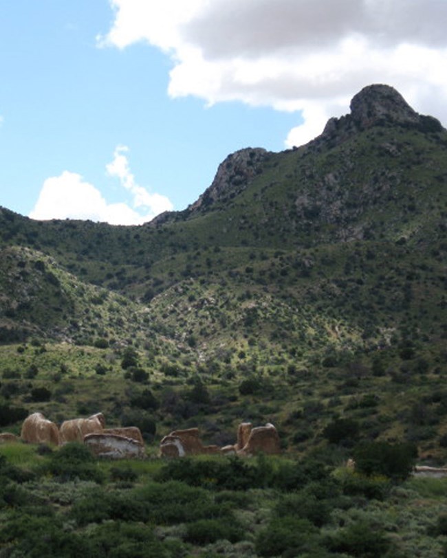
Rounded domes of Proterozoic granodiorite are present in the western portion of Fort Bowie National Historic Site (Drewes 1984). This nearly 1.4 billion-year old granodiorite was formed as magma cooled slowly, allowing the growth of feldspar and quartz crystals and producing the coarse-grained texture of this intrusive igneous rock. Although fresh granodiorite samples are gray, this rock weathers to the brownish color visible on surrounding slopes (Drewes 1984; Bezy 2001).
Apache Spring
Because the rock units in the Fort Bowie area are generally impermeable, groundwater is stored only in fractures created by folding and faulting. In the Basin and Range province of western North America, springs are typically located along fault zones. Apache Spring is no exception. Rainwater and snowmelt drain from higher elevations, percolate through the unconsolidated sediments of Siphon Canyon, and flow into the zone of fault-fractured rock below the alluvium. Groundwater that feeds Apache Spring flows to the surface where Siphon Canyon intersects a zone of shattered bedrock along the Apache Pass Fault (Bezy 2001).
Apache Spring has been modified for human use. A masonry box collects water from the spring, and some of the water is diverted to a stock tank on private land to satisfy previously established water rights (Bezy 2001). The spring discharges an average of 19 L (5 gal) of water per minute, but this flow fluctuates seasonally and annually and is dependent on precipitation.
Paleontological Resources
Marine invertebrate fossils have been noted in Paleozoic limestones in the Fort Bowie region (Drewes 1984; Tweet et al. 2008). Within the park, the Horquilla Limestone has produced large fusulinids, which helped determine the age of the unit (Drewes 1984; Tweet et al. 2008). South of the park the Horquilla Limestone has yielded a variety of marine invertebrates (fusulinids, corals, bryozoans, and brachiopods) (Tweet et al. 2008). Echinoid spines and gastropods have been discovered in the Colina Limestone.
All NPS fossil resources are protected under the Paleontological Resources Preservation Act of 2009 (Public Law 111-11, Title VI, Subtitle D; 16 U.S.C. §§ 470aaa - 470aaa-11).
Abandoned Mineral Lands
The National Park Service has identified 32 AML features at six sites within or near Fort Bowie. Most AML features at Fort Bowie are gated or fenced, minimizing safety and bat-habitat issues. Associated waste-rock piles have been left undisturbed because they are considered historic features.
NPS AML sites can be important cultural resources and habitat, but many pose risks to park visitors and wildlife, and degrade water quality, park landscapes, and physical and biological resources. Be safe near AML sites—Stay Out and Stay Alive!
Regional Geology
Fort Bowie National Historic Site is a part of the Basin and Range Physiographic Province and shares its geologic history and some characteristic geologic formations with a region that extends well beyond park boundaries.
- Scoping summaries are records of scoping meetings where NPS staff and local geologists determined the park’s geologic mapping plan and what content should be included in the report.
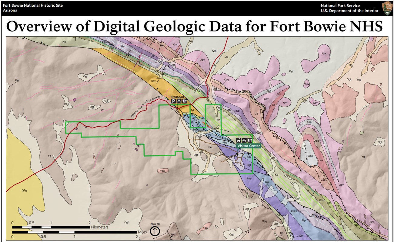
- Digital geologic maps include files for viewing in GIS software, a guide to using the data, and a document with ancillary map information. Newer products also include data viewable in Google Earth and online map services.
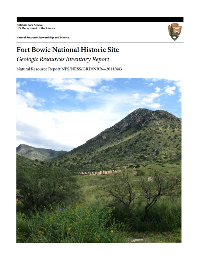
- Reports use the maps to discuss the park’s setting and significance, notable geologic features and processes, geologic resource management issues, and geologic history.
- Posters are a static view of the GIS data in PDF format. Newer posters include aerial imagery or shaded relief and other park information. They are also included with the reports.
- Projects list basic information about the program and all products available for a park.
Source: NPS DataStore Saved Search 2852. To search for additional information, visit the NPS DataStore.
A NPS Soil Resources Inventory project has been completed for Fort Bowie National Historic Site and can be found on the NPS Data Store.
Source: NPS DataStore Saved Search 2920. To search for additional information, visit the NPS DataStore.


