Last updated: June 17, 2024
Article
NPS Geodiversity Atlas—Everglades National Park, Florida
Geodiversity refers to the full variety of natural geologic (rocks, minerals, sediments, fossils, landforms, and physical processes) and soil resources and processes that occur in the park. A product of the Geologic Resources Inventory, the NPS Geodiversity Atlas delivers information in support of education, Geoconservation, and integrated management of living (biotic) and non-living (abiotic) components of the ecosystem.

Introduction
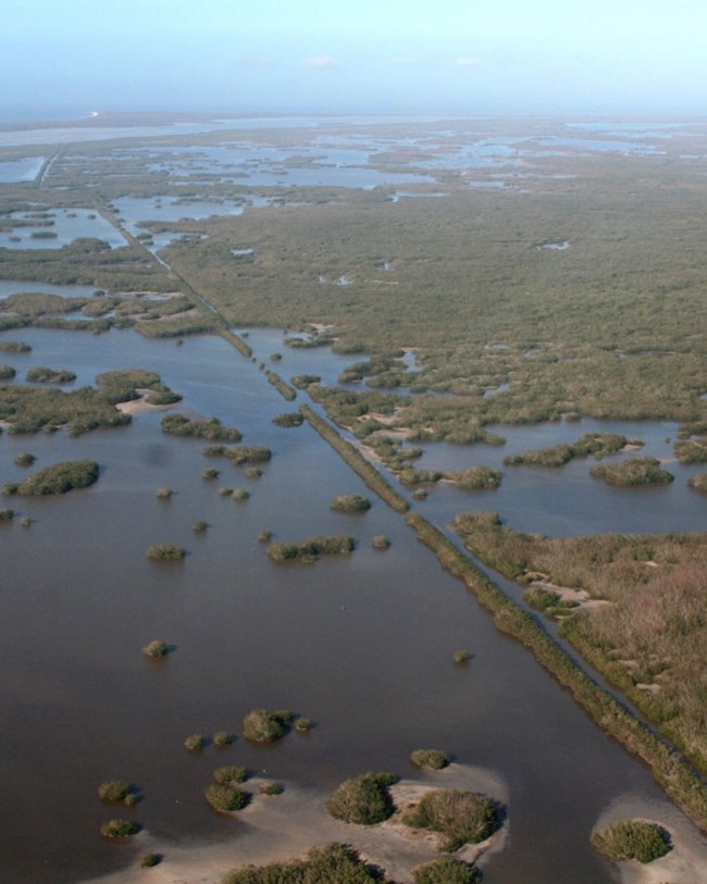
Everglades National Park (EVER) is located along the southernmost Florida peninsula and includes most of Florida Bay between the peninsula and the Florida Keys in Miami-Dade, Monroe, and Collier Counties, Florida. Originally authorized on May 30, 1934, and later established on December 6, 1947, EVER contains about 610,660 hectares (1,508,976 acres) and protects the largest remaining subtropical wilderness in the contiguous United States (National Park Service 2016b). The national park features extensive freshwater and saltwater environments such as open sawgrass prairies, mangrove estuaries, tropical hardwood hammocks, pine rocklands, and seagrass meadows that are home to a diverse biological community that includes more than 400 species of birds and rare or threatened species such as the Florida panther, West Indian manatee, American alligator, American crocodile, wood stork, and Florida bristle fern (National Park Service 2017c). The rich natural resources of EVER are internationally recognized and the park has been designated an International Biosphere Reserve (1976), a World Heritage Site (1979), and a Wetland of International Importance (1987).
Geologic Setting
EVER is situated in portions of the Everglades, Big Cypress Swamp, and Mangrove and Coastal Glades subprovinces of the Atlantic Coastal Plain province, a geologically young region underlain by Cenozoic sedimentary deposits (McPherson et al. 2000). The oldest geologic unit mapped at or near the surface of EVER is the Pliocene Tamiami Formation, a fossiliferous mixture of carbonate and siliciclastic rocks that occur in the northwestern area of the park bordering BICY. The Pleistocene Miami Limestone (formerly Miami Oolite) underlies northeastern BICY and is comprised of white to orangish-gray, fossiliferous sandy limestone (DuBar 1991). Carbonate rocks of the Pleistocene Key Largo Limestone are widely distributed along the Florida Keys and were named from exposures on Key Largo (Sanford 1909). The limestone forms small islands and part of Key Largo in the southeastern area of EVER, where it is overlain by younger carbonate mud and thin soils. Regionally, the Key Largo Limestone forms an extensive 360 km (225 mi)-long band of carbonate rock extending from DRTO to North Miami Beach, Florida (Multer and Hoffmeister 1968; Multer et al. 2002). The coastal regions of EVER are composed of unconsolidated, Holocene surficial deposits that include marl, marl underlain by peat, quartz sands, carbonate sands and mud, and organic material.
Paleontological Resources
All NPS fossil resources are protected under the Paleontological Resources Preservation Act of 2009 (Public Law 111-11, Title VI, Subtitle D; 16 U.S.C. §§ 470aaa - 470aaa-11).
Cave and Karst
All NPS cave resources are protected under the the Federal Cave Resources Protection Act of 1988 (FCRPA)(16 U.S.C. § 4301 et seq.).
Abandoned Mineral Lands
NPS AML sites can be important cultural resources and habitat, but many pose risks to park visitors and wildlife, and degrade water quality, park landscapes, and physical and biological resources. Be safe near AML sites—Stay Out and Stay Alive!
Regional Geology
Everglades is a part of the Coastal Plain Physiographic Province and shares its geologic history and some characteristic geologic formations with a region that extends well beyond park boundaries.
Also see, Everglades—Geology
- Scoping summaries are records of scoping meetings where NPS staff and local geologists determined the park’s geologic mapping plan and what content should be included in the report.
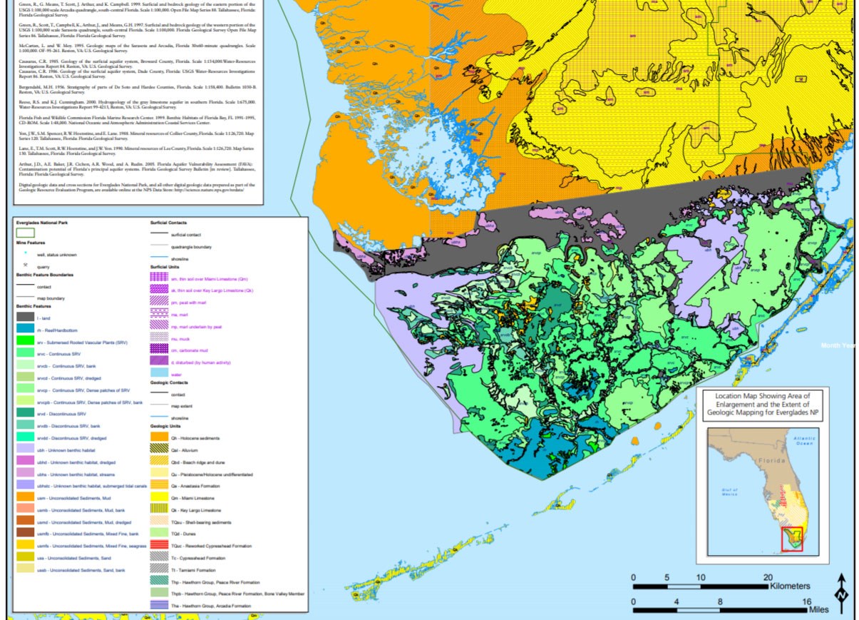
- Digital geologic maps include files for viewing in GIS software, a guide to using the data, and a document with ancillary map information. Newer products also include data viewable in Google Earth and online map services.
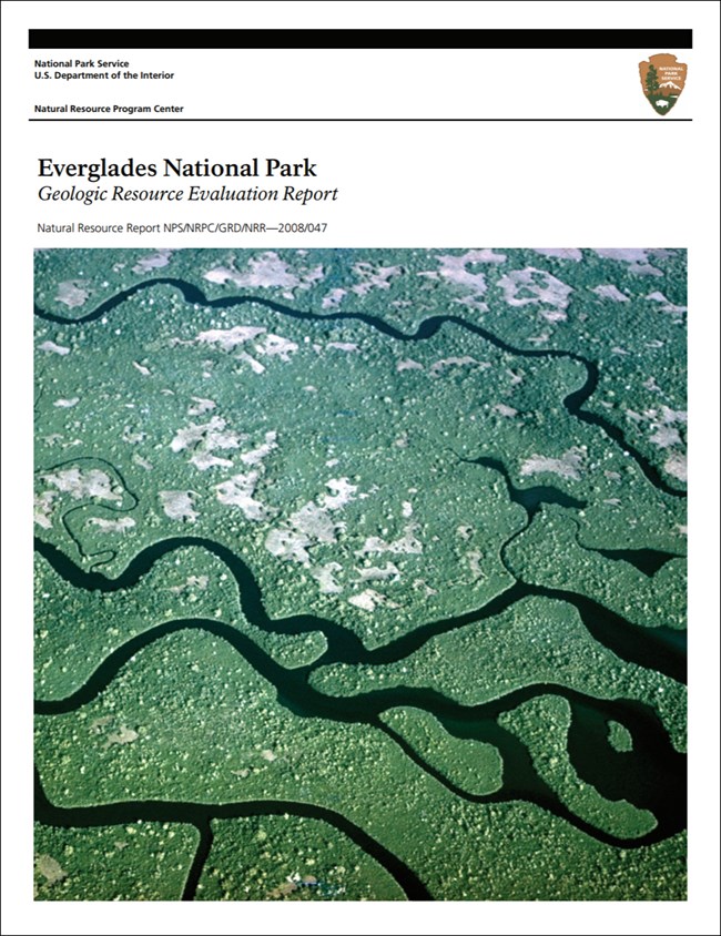
- Reports use the maps to discuss the park’s setting and significance, notable geologic features and processes, geologic resource management issues, and geologic history.
- Posters are a static view of the GIS data in PDF format. Newer posters include aerial imagery or shaded relief and other park information. They are also included with the reports.
- Projects list basic information about the program and all products available for a park.
Source: NPS DataStore Saved Search 2819. To search for additional information, visit the NPS DataStore.
A NPS Soil Resources Inventory project has been completed for Everglades National Park, Florida and can be found on the NPS Data Store.
Source: NPS DataStore Saved Search 2820. To search for additional information, visit the NPS DataStore.


