Last updated: June 17, 2024
Article
NPS Geodiversity Atlas—Dry Tortugas National Park, Florida
Geodiversity refers to the full variety of natural geologic (rocks, minerals, sediments, fossils, landforms, and physical processes) and soil resources and processes that occur in the park. A product of the Geologic Resources Inventory, the NPS Geodiversity Atlas delivers information in support of education, Geoconservation, and integrated management of living (biotic) and non-living (abiotic) components of the ecosystem.

Geologic Features and Processes
Dry Tortugas National Park is approximately 113 km (70 mi) west of Key West between the Gulf of Mexico and the Atlantic Ocean. The park boasts colorful and pristine coral reefs surrounding a cluster of seven small islands and central lagoon, and is known for spectacular marine life, nesting bird colonies, military history, and legends of pirates and sunken treasure. Visitors can only access the park by boat or seaplane.
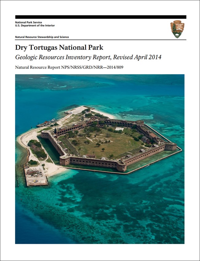
The park was initially designated “Fort Jefferson National Monument” by presidential proclamation in 1935. The monument was established for the purpose of preserving the Dry Tortugas group of islands within the original 1845 federal military reservation of islands, keys, and banks (National Park Service 2006). Fort Jefferson, located on Garden Key, is the largest masonry structure in the Americas. In 1992 Congress redesignated, expanded, and renamed the national monument “Dry Tortugas National Park.”
The geologic history of Florida can be traced all the way back to the Precambrian Era, more than 541 million years ago. Igneous rocks of Precambrian and Cambrian age lie thousands of meters below the carbonate platform, and. They form the “basement” of Florida. Sedimentary rocks of Ordovician, Silurian, and Devonian age are above, and are thus younger than, the basement rocks. These rocks were originally deposited in a basin formed by the then-rising Appalachian Mountains, as the supercontinent Pangaea was assembling. By 300 million years ago, the world’s continents had assembled to form Pangaea. What is now Florida was originally part of the ancient landmass of Africa and Australia called “Gondwana”.
The narrative of Dry Tortugas starts when the Florida platform began to accumulate some 200 million years ago with the opening of the “modern” Atlantic Ocean and the breakup of Pangaea.
The Florida Platform
Dry Tortugas National Park is located near the southwestern edge of the Florida Platform. This broad, flat, carbonate platform is only partially exposed above sea level as the Florida peninsula. The submerged portion of the platform extends to water depths of approximately 90 m (300 ft). Beyond this point the sea floor drops abruptly to more than 3,000 m (10,000 ft).
The Florida Platform has been accumulating sediments since the Atlantic Ocean basin began to form almost 200 million years ago. Carbonate rocks such as limestone and dolomite more than 5,000 m (15,000 ft) thick make up the platform and underlie Dry Tortugas National Park. These rocks continue to form on the submerged portion of the platform.
During the Pleistocene Epoch (2.6 million–11,700 years ago), sea level rose and fell repeatedly in response to advancing and retreating glaciers. During glacial periods, when a larger portion of Earth’s water budget is stored as glacial ice, much of the platform was exposed and carbonate rocks were eroded. During interglacial periods the Florida Platform was largely submerged and coral reefs established themselves on the outside of the tiny Florida peninsula. As sea level dropped to its current location, the tops of these reefs were exposed and now make up the Florida Keys.
Coral Reefs
Approximately 6,000 years ago sea level was high enough to flood the southern Florida platform (Robbin 1984). The lowest lying areas flooded first, including the area east of the park, thereby cutting off the Dry Tortugas islands from the mainland early in the transgression. Sea level continued to rise during the Holocene Epoch, submerging the continental shelf to its current extent and leaving only a small fraction of the keys above water.
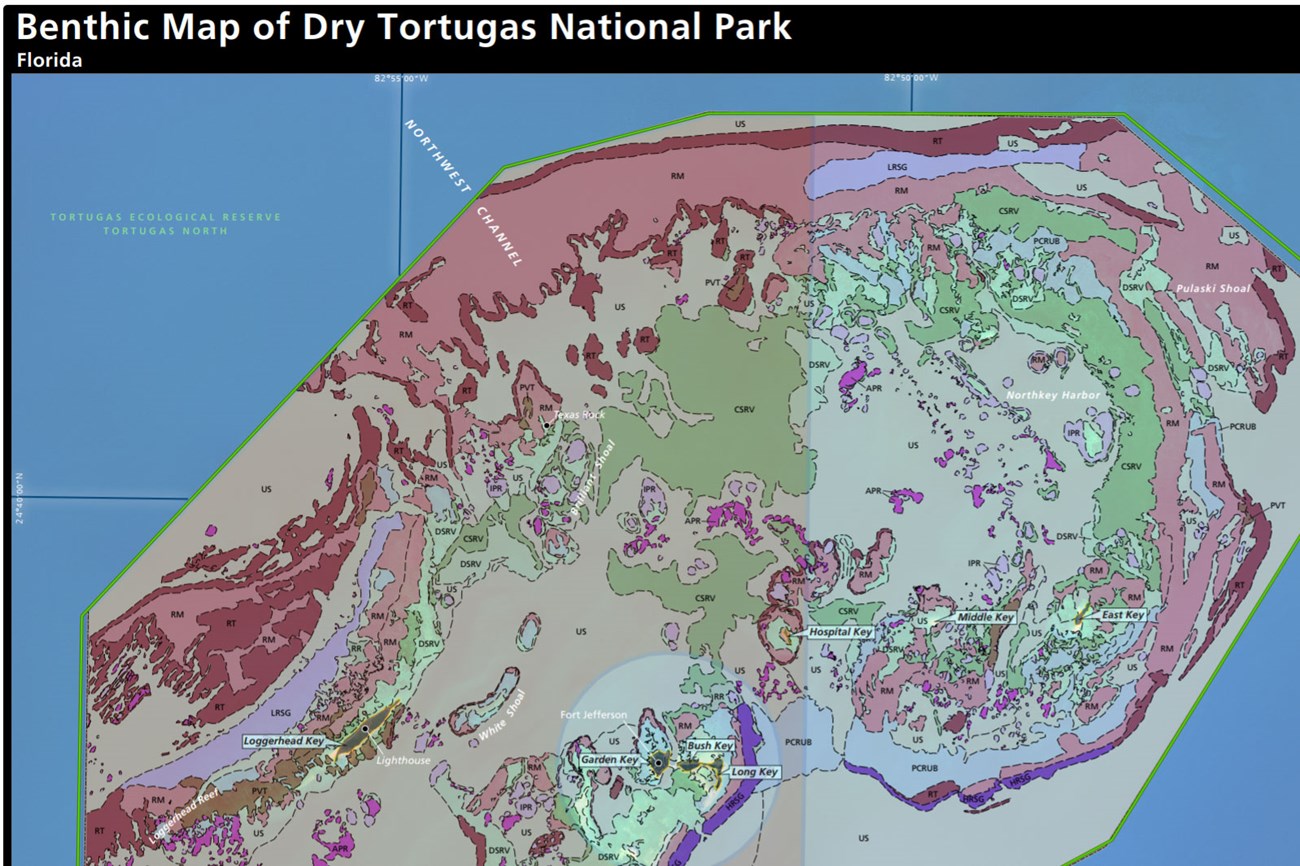
As sea level stabilized, modern coral reefs established themselves on the elevated foundation of preexisting Pleistocene reefs (Key Largo Limestone) (Murphy 1993; Davis 1997; Toscano et al. 2010). Wave action, exposure, and biological weathering (breakdown by organisms) of the reefs generated large amounts of carbonate sand, which settled in the deeper areas around the elevated Pleistocene foundation. Seagrass and other submersed vegetation colonized some of the calmer sandy areas behind the reefs. Gradually the Dry Tortugas complex that is recognizable today began to emerge.
Paleontological Resources
All of the geologic materials within the park, from the surficial Holocene reefs and island sediments down to the underlying Pleistocene limestone rock, contain fossils. Fossils within substrate of the islands and the carbonate material of the shallow marine areas include corals, mollusks, invertebrates, microfauna, and calcareous algal remains (Toscano et al. 2010).
All NPS fossil resources are protected under the Paleontological Resources Preservation Act of 2009 (Public Law 111-11, Title VI, Subtitle D; 16 U.S.C. §§ 470aaa - 470aaa-11).
Geology Field Notes
Students and teachers of college-level (or AP) introductory geology or earth science teaching courses will find that each park's Geologic Resource Inventory report includes the Geologic History, Geologic Setting, and Geologic Features & Processes for the park which provides a useful summary of their overall geologic story. See Maps and Reports, below.
- Scoping summaries are records of scoping meetings where NPS staff and local geologists determined the park’s geologic mapping plan and what content should be included in the report.
- Digital geologic maps include files for viewing in GIS software, a guide to using the data, and a document with ancillary map information. Newer products also include data viewable in Google Earth and online map services.
- Reports use the maps to discuss the park’s setting and significance, notable geologic features and processes, geologic resource management issues, and geologic history.
- Posters are a static view of the GIS data in PDF format. Newer posters include aerial imagery or shaded relief and other park information. They are also included with the reports.
- Projects list basic information about the program and all products available for a park.
Source: NPS DataStore Saved Search 2813. To search for additional information, visit the NPS DataStore.
A NPS Soil Resources Inventory project has been completed for Dry Tortugas National Park and can be found on the NPS Data Store.
Source: NPS DataStore Saved Search 2826. To search for additional information, visit the NPS DataStore.

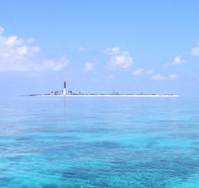
shallow carbonate banks fringed with coral reefs in Dry Tortugas
National Park. (USGS photo by Don Hickey)
Related Links

