Last updated: January 31, 2025
Article
NPS Geodiversity Atlas—Denali National Park & Preserve, Alaska
Geodiversity refers to the full variety of natural geologic (rocks, minerals, sediments, fossils, landforms, and physical processes) and soil resources and processes that occur in the park. A product of the Geologic Resources Inventory, the NPS Geodiversity Atlas delivers information in support of education, Geoconservation, and integrated management of living (biotic) and non-living (abiotic) components of the ecosystem.

Geologic Features and Processes
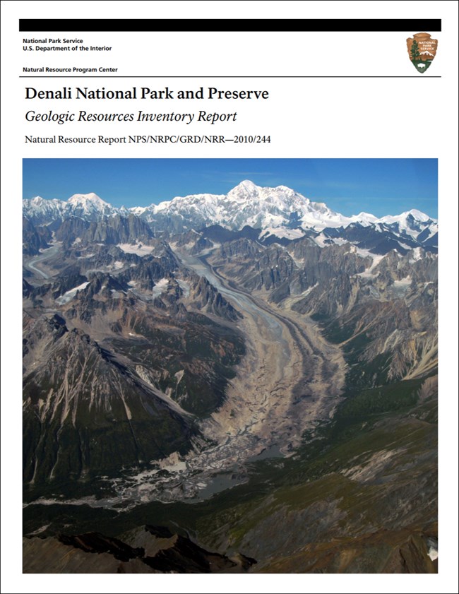
Denali National Park and Preserve covers more than 6 million acres and features a vast and varied geological landscape. The park protects large portions of the long, arcuate Alaska Range—including Mount McKinley (whose traditional name Denali means “The High One”), which has the greatest vertical relief of any mountain on Earth. The active tectonic processes of southern Alaska are still uplifting the mountains along the Denali fault system. Countering this uplift are weathering and erosion of the highlands by wind and water.
Accreted Terranes
Like much of Alaska, the Denali area is composed of accreted terranes—where the Pacific plate, acting like a conveyor belt, has been bringing bits of islands, the ocean floor, and slivers of other continents northward to for hundreds of millions of years forming a “jigsaw puzzle” of these terranes. The compositions, structures, metamorphic grades, and fossils of these terranes set them apart from neighboring rocks separated by discrete faults. The terranes are covered with more recent sedimentary deposits, and are studded with igneous intrusive rocks.
Denali Fault System
The Denali fault system is a 2,100-km- (1,300-mi)-long structure, trending from the Yukon border southwest toward the Bering Sea. The entire system connects with the Queen Charlotte fault and the Fairweather fault of southeastern Alaska toward British Columbia, forming a significant piece of the transform fault boundary between the Pacific and North American plates. The great arcuate system of northward-convex transcurrent faults that sweeps across Alaska is one of the most distinctive geologic features within the state (Moore et al. 1994).
Glaciers and Glacial Landforms
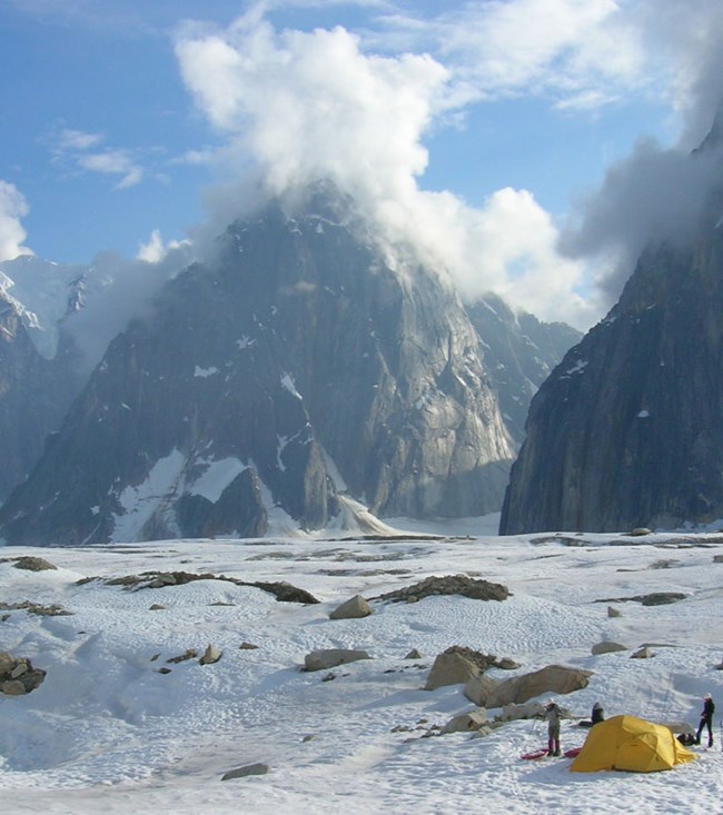
Glacial ice covers a significant amount of the surface area of Denali National Park and Preserve; glaciers carve through thousands of meters of sedimentary, metamorphic, and igneous rocks exposed within the park, creating wide U-shaped valleys and transporting vast amounts of sediment. These glaciers flow over 40 km (25 mi), descending more than 4,500 vertical meters (14,800 ft) from the highest peaks of the range to the lowland hills below. Glacial landforms in the park include:
-
Cirques
-
U-Shaped Valleys
-
Hanging Valleys
-
Arêtes
-
Braided Rivers
-
Glacial Lakes
-
Glacial Deposits
-
Bergschrunds
Also see, Denali—Glaciers/Glacial Features
Paleontological Resources
Denali National Park and Preserve contains many fossiliferous geologic units. Most of these are from the warm shallow seas present throughout much of the late Paleozoic and Mesozoic eras. Some of the accreted terranes traveled north from lower latitudes where marine life flourished. Fossils include invertebrates (as the dominant type), marine mollusks, insects, plant debris, and abundant trace fossils.
Thousands of trace fossils of fish, pterosaurs, theropods, hadrosaurs, birds, and terrestrial and aquatic invertebrates are preserved in the Cantwell Formation, making this one of the best-preserved Late Cretaceous polar continental ecosystems in the global paleontological record (Brease et al. 2009).
All NPS fossil resources are protected under the Paleontological Resources Preservation Act of 2009 (Public Law 111-11, Title VI, Subtitle D; 16 U.S.C. §§ 470aaa - 470aaa-11).
Also see, Denali—Fossils
Slope Processes and Erosion
The geologic processes of erosion are prevalent at Denali National Park and Preserve. Glaciers are remarkable agents of erosion, and sheet runoff, streams, and rivers all carve channels and valleys into the landscape. Topography provides opportunities for erosion (P. Haeussler, USGS, geologist, written communication, November 2009). When unconsolidated sediments—such as slope deposits, glacial till and moraines, and alluvium, as well as altered and/or deformed bedrock—are exposed on moderate slopes, the potential for erosion and mass wasting increases. Some volcanic and sedimentary units are quickly altered to shrink-and-swell clays (minerals that swell when water-saturated and shrink upon drying). This constant change in volume undermines the integrity of the rocks.
Also see, Denali—Landslides & Debris Flows
Abandoned Mineral Lands
In 1903, gold was discovered in the area of what is now Denali National Park and Preserve (Norris 1998). Past mining activity was focused in the Dunkle Mine area in the Chulitna Terrane of the Alaska Range, the Mt. Eielson/Copper Mountain district (in the 1940s), and the placer gold deposits of the Kantishna Hills region of the YukonTanana Terrane in the northern foothills area of the park (Van Maanen and Solin 1988; Metz et al. 1989). Mining interests included precious metals such as gold and silver, base metals (copper, lead, antimony, zinc, tungsten, arsenic) and coal (Metz et al. 1989).
Abandoned cabins, debris, small tailing piles, assay trenches, adits, and small shafts are historical markers of the hard rock mining history in the region. Most of the historical underground mine features have been closed or have since collapsed (GRI scoping notes 2004).
NPS AML sites can be important cultural resources and habitat, but many pose risks to park visitors and wildlife, and degrade water quality, park landscapes, and physical and biological resources. Be safe near AML sites—Stay Out and Stay Alive!
- Scoping summaries are records of scoping meetings where NPS staff and local geologists determined the park’s geologic mapping plan and what content should be included in the report.
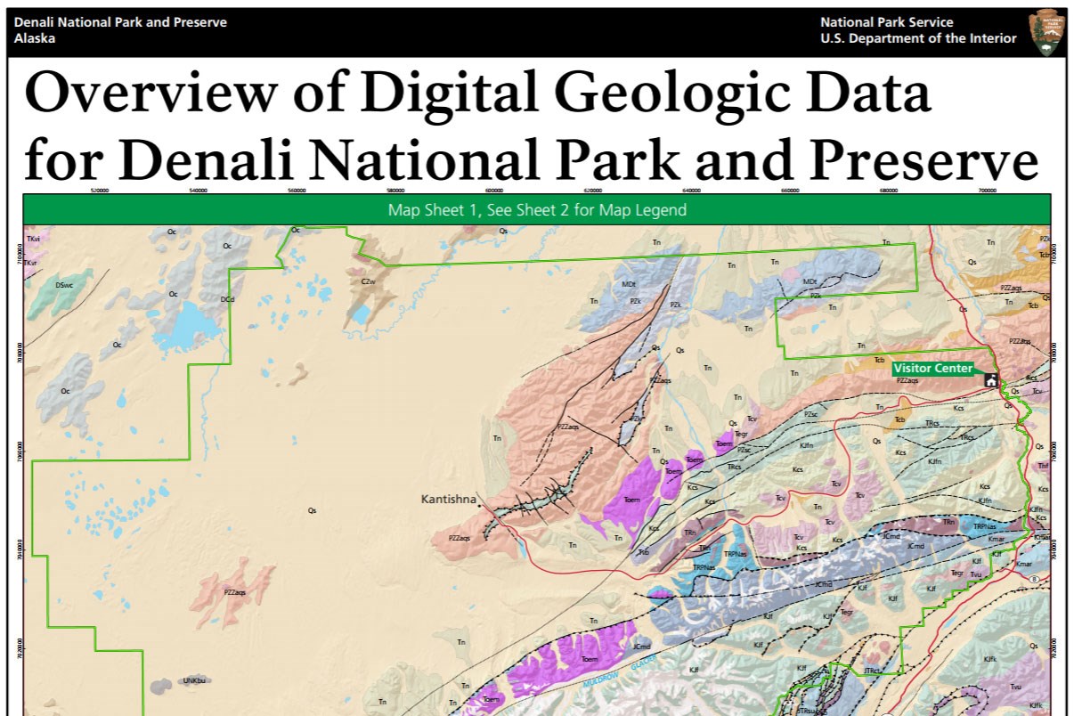
- Digital geologic maps include files for viewing in GIS software, a guide to using the data, and a document with ancillary map information. Newer products also include data viewable in Google Earth and online map services.
- Reports use the maps to discuss the park’s setting and significance, notable geologic features and processes, geologic resource management issues, and geologic history.
- Posters are a static view of the GIS data in PDF format. Newer posters include aerial imagery or shaded relief and other park information. They are also included with the reports.
- Projects list basic information about the program and all products available for a park.
Source: NPS DataStore Saved Search 2809. To search for additional information, visit the NPS DataStore.
A NPS Soil Resources Inventory project has been completed for Denali National Park & Preserve and can be found on the NPS Data Store.
Source: NPS DataStore Saved Search 2830. To search for additional information, visit the NPS DataStore.

Related Links

