Last updated: June 14, 2024
Article
NPS Geodiversity Atlas—Charles Pinckney National Historic Site, South Carolina
Geodiversity refers to the full variety of natural geologic (rocks, minerals, sediments, fossils, landforms, and physical processes) and soil resources and processes that occur in the park. A product of the Geologic Resources Inventory, the NPS Geodiversity Atlas delivers information in support of education, Geoconservation, and integrated management of living (biotic) and non-living (abiotic) components of the ecosystem.

Introduction
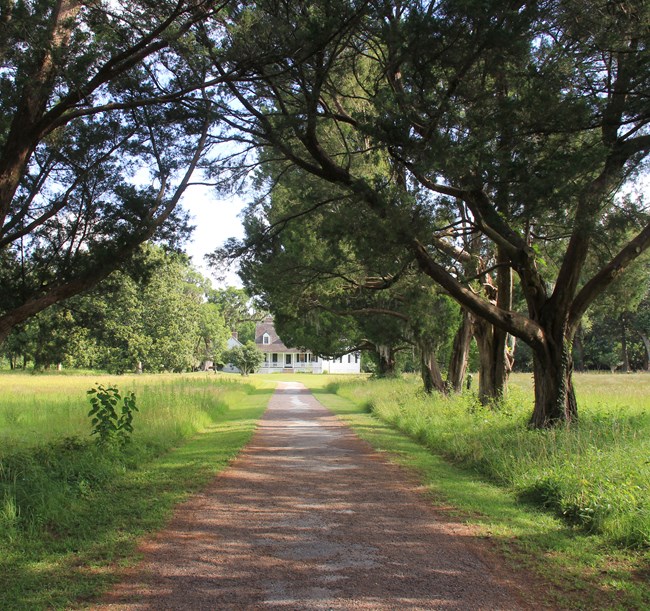
Charles Pinckney National Historic Site, located outside Charleston in Mount Pleasant, South Carolina, is a 28-acre remnant of Charles Pinckney’s original 18th-century 715- acre plantation known as Snee Farm. Purchased by his father Colonel Charles Pinckney in 1754 (three years before the younger Pinckney’s birth), Pinckney spent his childhood splitting time between the Snee Farm “country home” and the family’s downtown Charleston residence. Pinckney inherited Snee Farm in 1782 and continued to grow rice and indigo at the plantation using an enslaved workforce.
Congress established Charles Pinckney National Historic Site in 1988. Although the original Pinckney house and outbuildings of Snee Farm no longer stand, the existing 1828 farmhouse that remains today and the surviving outbuildings tell the story of agrarian patterns of South Carolina’s Lowcountry from the mid-17th to the late-20th century.
Regional Geology
Charles Pinckney National Historic Site is a part of the Coastal Plain Physiographic Province and shares its geologic history and some characteristic geologic formations with a region that extends well beyond park boundaries.
- Scoping summaries are records of scoping meetings where NPS staff and local geologists determined the park’s geologic mapping plan and what content should be included in the report.
- Digital geologic maps include files for viewing in GIS software, a guide to using the data, and a document with ancillary map information. Newer products also include data viewable in Google Earth and online map services.
- Reports use the maps to discuss the park’s setting and significance, notable geologic features and processes, geologic resource management issues, and geologic history.
- Posters are a static view of the GIS data in PDF format. Newer posters include aerial imagery or shaded relief and other park information. They are also included with the reports.
- Projects list basic information about the program and all products available for a park.
Source: NPS DataStore Saved Search 3391. To search for additional information, visit the NPS DataStore.
A NPS Soil Resources Inventory project has been completed for Charles Pinckney National Historic Site and can be found on the NPS Data Store.
Source: NPS DataStore Saved Search 3392. To search for additional information, visit the NPS DataStore.

