Last updated: June 14, 2024
Article
NPS Geodiversity Atlas—Chaco Culture National Historical Park, New Mexico
Geodiversity refers to the full variety of natural geologic (rocks, minerals, sediments, fossils, landforms, and physical processes) and soil resources and processes that occur in the park. A product of the Geologic Resources Inventory, the NPS Geodiversity Atlas delivers information in support of education, Geoconservation, and integrated management of living (biotic) and non-living (abiotic) components of the ecosystem.

Geologic Features and Processes
Planned and constructed in stages between A.D. 850 and 1150, the pueblos of Chaco Culture National Historical Park were the center of the Chacoan world, which covered a vast area of the present-day Southwest, including the San Juan Basin of New Mexico, and portions of the Four Corners area of Colorado, Utah, and Arizona (National Park Service, 2006). Covering more than 26,000 square miles (67,340 km2), the San Juan Basin is the dominant structural and physical feature in the northwestern part of New Mexico. It is a nearly circular, bowl-shaped depression containing a thick sequence of sedimentary rocks, ranging in age from 570 million- to 2 million years old (Brister and Price, 2002). The folded sediments of the San Juan Basin contain groundwater aquifers, reservoirs for oil and gas, and other mineral deposits (e.g., coal and uranium). Chaco Culture National Historical Park lies near the center of the San Juan Basin at the southeastern edge of the much larger Colorado Plateau. Encompassing an area of approximately 140,000 square miles (36,260 km2), the Colorado Plateau is a high-standing crustal block of relatively undeformed rocks surrounded by the highly deformed Rocky Mountains and Basin and Range provinces.
The rocks and unconsolidated deposits at Chaco Culture National Historical Park record the following geologic events spanning 100 million years:
-
Inundation by the Western Interior Seaway
-
Downwarping of the San Juan Basin during the Laramide Orogeny and filling of the basin with terrestrial sediment
-
Widespread erosion and development of present drainages, including Chaco Canyon
-
Dynamic sedimentation in Chaco Canyon
-
Development of Chaco Arroyo and incision of the active inner channel
-
Human activities as part of the geologic record
The majority of the exposed strata at Chaco Culture National Historical Park belong to a suite of rocks known as the Mesaverde Group, which geologists have subdivided into the Point Lookout Sandstone, the Menefee Formation, and the Cliff House Sandstone. Two additional rock units—Lewis Shale and the Pictured Cliffs Sandstone—were also deposited in the Cretaceous Interior Seaway. The Menefee and Cliff House formations and the Lewis Shale are visible in the park, but the Menefee and Cliff House are the most prominent. Lewis Shale is beneath the eolian sands north of the upper Cliff House Sandstone cliffs and interfingers with it but is not prominent enough to be mapped at 1:24,000 scale.
The following geologic features and processes can be seen in Chaco Culture National Historical Park:
-
Upper Cretaceous Rocks and Fossils
-
Quaternary Fossils
-
Chaco Canyon
-
Chaco Arroyo
-
Dynamic Sedimentation and Arroyo Development
-
Alluvial Fill
-
Sheetwash Alluvium and Slope-Wash Deposits
-
Eolian Features
-
Tinajas and Charcos
-
Badlands
-
Cave Shelters
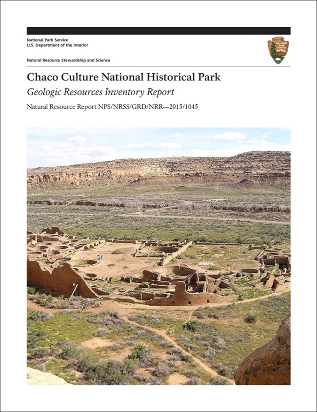
Also see the park Geologic Resources Inventory Report for more details on geologic setting, history and features.
Paleontological Resources
An ongoing field inventory, starting in 2005, of the Upper Cretaceous rocks at the park has revealed abundant and widespread paleontological resources, shedding light on the potential scientific significance of the fossil-bearing strata in the area (Varela 2013b). The two most fossiliferous rock units within the park are the Menefee Formation and the Cliff House Sandstone. As of the end of the 2013 field season, investigators had identified and mapped more than 300 fossil localities within the park, including 148 plant, 95 vertebrate, 49 invertebrate, and 10 localities with a combination of plant, vertebrate, and invertebrate fossils (Varela 2013a).
All NPS fossil resources are protected under the Paleontological Resources Preservation Act of 2009 (Public Law 111-11, Title VI, Subtitle D; 16 U.S.C. §§ 470aaa - 470aaa-11).
Birthplace of Geoarchaeology
Chaco Canyon is the birthplace of geoarchaeology. Scientists in the field of geoarchaeology study the relationships between prehistoric humans and the environment. This interdisciplinary study strives to understand archaeological sites in their natural contexts, with particular emphasis on site formation processes. Geoarchaeologists of Chaco Canyon include the following:
-
1849—J. H. Simpson and R. H. Kern described Chaco Canyon and its ruins and speculated about environmental changes during occupation of the structures.
-
1877—W. H. Jackson drew Pueblo del Arroyo and methodically described the filled-in gully. He also found the remains of a prehistoric inhabitant of the area.
-
1878—W. J. Hoffman, the physician who examined the prehistoric cranium collected by Jackson in 1877, was the first to speculate about environmental degradation as a result of human activities.
-
1920s—Neil Judd and Kirk Bryan studied the paleochannel in Chaco Canyon and proposed that human-caused environmental degradation (e.g., over-farming) forced inhabitants to leave the area.
-
1970s and 1980s—As part of the Chaco Project, Steve Hall and Dave Love looked at exposures, charcoal, and pollen and extended interpretations of environmental changes over several thousand years.
As noted in Love (2007), the attraction of Chaco Canyon to researchers has continued for more than a century and a half, including early applications of tree-ring dating and biogeochemistry, palynology, physical and chemical anthropology, remote sensing, archaeological stratigraphy, and millennial-scale environmental reconstructions using packrat middens.
Cave and Karst
Alcoves have formed through differential weathering between Cliff House Sandstone and the Menefee Formation. Some of the alcoves may fit the definition of a cave, though at this time there has not been any work done to determine this. These alcoves are notable for the resources they contain. This includes parkrat middens and some of the earliest datable perishable cultural material in the park such as corn, basketry, etc.
Soil piping is also prevalent and there may be cases of larger conduits that fit the definition of a cave as well. Piping can be detrimental to cultural structures and artifacts and also in some cases provides habitat for bats.
All NPS cave resources are protected under the the Federal Cave Resources Protection Act of 1988 (FCRPA)(16 U.S.C. § 4301 et seq.).
Aeolian (Dunes) Landforms
According to the 2006 Pueblo Bonito trail guide, “In the late 1800s—before the advent of the first archeological protection laws—travelers, vandals, and pothunters repeatedly knocked massive holes into the back wall of Pueblo Bonito, removing the contents of the rooms this way, rather than digging into the rooms from above through many feet of windblown sand.” This description is an indication of the longevity and aggressiveness of eolian processes occurring at Chaco Culture National Historical Park.
Currently, dust storms are frequent in the spring, and dunes used to cover the old entry road (north) into the park. Additionally, eolian soils have been mapped on mesa tops in the park. Scoping participants mentioned huge sand dunes in tributary canyons such as Weritos Rincon and Pueblo Pintado. As an indicator of age, the Crownpoint dune overlies a 6,900-year-old turtle fossil, which has been dated using carbon-14.
Regional Geology
Chaco Culture National Historical Park is a part of the Colorado Plateaus Physiographic Province and shares its geologic history and some characteristic geologic formations with a region that extends well beyond park boundaries.
- Scoping summaries are records of scoping meetings where NPS staff and local geologists determined the park’s geologic mapping plan and what content should be included in the report.
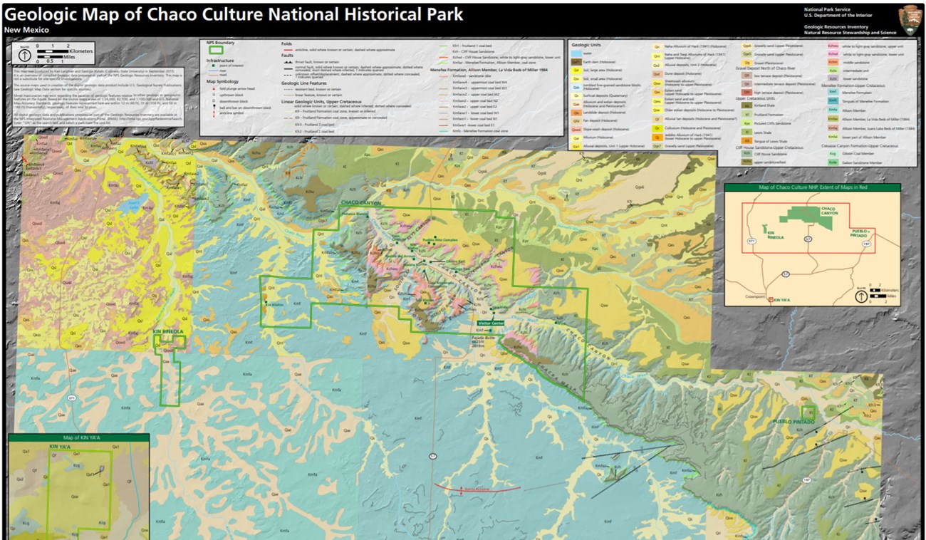
- Digital geologic maps include files for viewing in GIS software, a guide to using the data, and a document with ancillary map information. Newer products also include data viewable in Google Earth and online map services.
- Reports use the maps to discuss the park’s setting and significance, notable geologic features and processes, geologic resource management issues, and geologic history.
- Posters are a static view of the GIS data in PDF format. Newer posters include aerial imagery or shaded relief and other park information. They are also included with the reports.
- Projects list basic information about the program and all products available for a park.
Source: NPS DataStore Saved Search 2805. To search for additional information, visit the NPS DataStore.
A NPS Soil Resources Inventory project has been completed for Chaco Culture National Historical Park and can be found on the NPS Data Store.
Source: NPS DataStore Saved Search 2756. To search for additional information, visit the NPS DataStore.

Related Links
Related Articles
Chaco Culture National Historical ParkNational Park Service Geodiversity Atlas
The servicewide Geodiversity Atlas provides information on geoheritage and geodiversity resources and values within the National Park System. This information supports science-based geoconservation and interpretation in the NPS, as well as STEM education in schools, museums, and field camps. The NPS Geologic Resources Division and many parks work with National and International geoconservation communities to ensure that NPS abiotic resources are managed using the highest standards and best practices available.

