Last updated: June 14, 2024
Article
NPS Geodiversity Atlas—Cape Cod National Seashore, Massachusetts
Geodiversity refers to the full variety of natural geologic (rocks, minerals, sediments, fossils, landforms, and physical processes) and soil resources and processes that occur in the park. A product of the Geologic Resources Inventory, the NPS Geodiversity Atlas delivers information in support of education, Geoconservation, and integrated management of living (biotic) and non-living (abiotic) components of the ecosystem.

Introduction
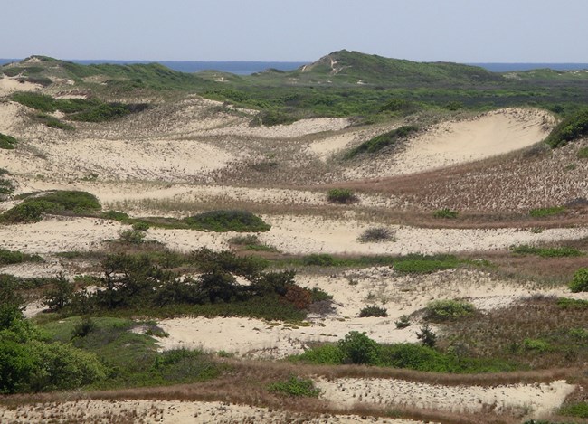
Cape Cod National Seashore (CACO) is located along the Atlantic-facing eastern shore of Cape Cod in Barnstable County, Massachusetts. Established June 1, 1966, CACO protects approximately 17,647 hectares (43,607 acres) of sandy beaches, dunes, woodlands, freshwater ponds, and salt marshes that stretch nearly 64 km (40 mi) from Chatham to Provincetown (Anderson 2017). CACO contains numerous cultural resources that include archeological sites, lighthouses, cultural landscapes, the Old Harbor Life-Saving Station Museum, and the historic Marconi Station Site where transatlantic wireless communication was achieved in 1903. Visitors at CACO can enjoy a wide range of recreational activities that include swimming, fishing, hiking, bicycling, canoeing, snorkeling, and sightseeing.
Geologic Setting
The coastal landscape of CACO is about 15,000 years old, making the national seashore a geologically new landform (Giese et al. 2015). The geology of CACO consists of unconsolidated and partially consolidated sediments of gravel, sand, silt, and mud deposited by ice sheets of Wisconsinan age (~75,000–11,000 years ago) (Figure 8; Giese et al. 2015). Since the last glacial retreat, climate-related change has produced a global sea level rise of approximately 400 m (120 m) that has submerged much of the former coast that once extended ~6.4 km (4.0 mi) seaward of its present location. The modern coastal landforms of CACO are temporary holding patterns that will inevitably change due to the dynamic processes of wind, waves, and human activities.
Regional Geology
Cape Cod National Seashore is a part of the Coastal Plains Physiographic Province and shares its geologic history and some characteristic geologic formations with a region that extends well beyond park boundaries.
- Scoping summaries are records of scoping meetings where NPS staff and local geologists determined the park’s geologic mapping plan and what content should be included in the report.
- Digital geologic maps include files for viewing in GIS software, a guide to using the data, and a document with ancillary map information. Newer products also include data viewable in Google Earth and online map services.
- Reports use the maps to discuss the park’s setting and significance, notable geologic features and processes, geologic resource management issues, and geologic history.
- Posters are a static view of the GIS data in PDF format. Newer posters include aerial imagery or shaded relief and other park information. They are also included with the reports.
- Projects list basic information about the program and all products available for a park.
Source: NPS DataStore Saved Search 2762. To search for additional information, visit the NPS DataStore.
A NPS Soil Resources Inventory project has been completed for Cape Cod National Seashore and can be found on the NPS Data Store.
Source: NPS DataStore Saved Search 2744. To search for additional information, visit the NPS DataStore.

