Last updated: June 17, 2024
Article
NPS Geodiversity Atlas— Appomattox Court House National Historical Park, Virginia
Geodiversity refers to the full variety of natural geologic (rocks, minerals, sediments, fossils, landforms, and physical processes) and soil resources and processes that occur in the park. A product of the Geologic Resources Inventory, the NPS Geodiversity Atlas delivers information in support of education, Geoconservation, and integrated management of living (biotic) and non-living (abiotic) components of the ecosystem.

Geologic Features and Processes
Established in 1930, Appomattox Court House National Historical Park covers 705 ha (1,743 ac) in Appomattox County, Virginia, and preserves the village of Appomattox Court House and the surrounding farm, forest, and meadow lands. The purpose of the park is to commemorate the surrender of the Confederate Army of Northern Virginia to the Union Army on April 9, 1865, the strategic act that effectively ended the American Civil War. The park preserves many cultural resources, including the site of surrender at McLean House, the historic village at Appomattox, and the site of the Battle of Appomattox Court House.
The park lies within the western Piedmont physiographic province, which is underlain by hard crystalline igneous and metamorphic rocks such as schists, phyllites, slates, gneisses, and gabbros. This portion of the Piedmont physiographic province contains numerous belts of rocks that accreted onto the North American continent during repeated continental collisions and orogenic events, culminating in the formation of the Appalachian Mountains. This geologic history spans more than 700 million years through the present regime of weathering, erosion, and anthropogenic land use patterns.
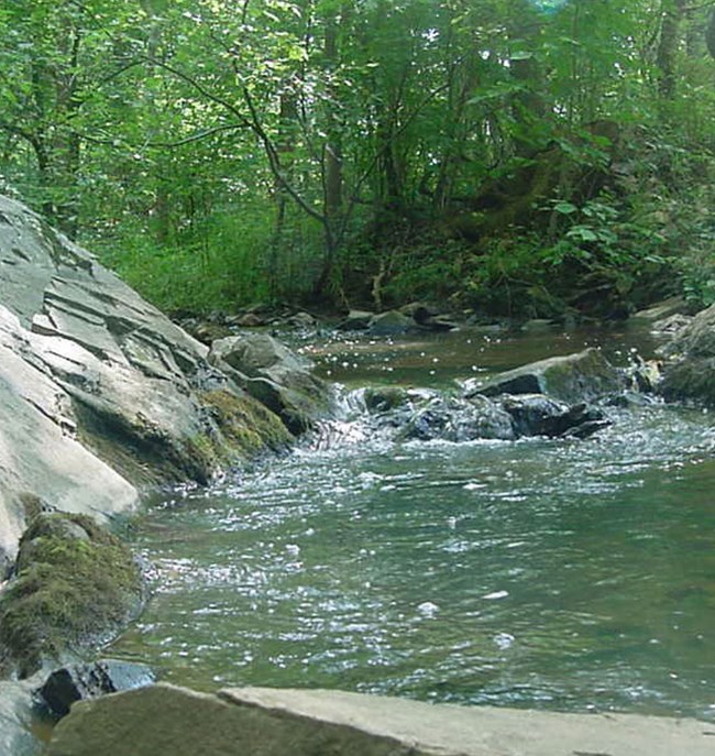
Rolling hills and narrow eroded stream valleys characterize the landscape at Appomattox Court House National Historical Park. The elevation in the park ranges from 250 m (830 ft) above sea level at the highest hills to 194 m (638 ft) above sea level at the eroded Appomattox River valley. The Appomattox River and several tributaries, including Plain Run Branch, traverse the park, which protects over 13 km (8.2 mi) of waterways. The Appomattox River is a major tributary to the James River. The two rivers meet in Hopewell, Virginia.
The gentle landscape and topography at Appomattox Court House National Historical Park are defined by the local geology and hydrology. This setting historically dictated the placement of towns, strategies and encampment of troops, escape routes, river crossings, and railroads, as well as the development of outlying areas. In many Civil War maneuvers, an advantage was held by those familiar with the terrain; the ability to utilize the natural features of the area and manipulate the focal points, gaps, ravines, cuts, hills, and ridges could determine the outcome of a battle. In addition to influencing battles, the landscape and topography also affected how troops and supplies were transported during the Civil War.
Geologic Structures
The rocks of the area have a complex deformational and metamorphic history with at least four distinct periods of folding (Marr and Sweet 1980). Large-scale regional folds include the Whispering Creek anticline and the Long Island syncline, both located east of Appomattox (Marr 1981). Recent mapping south of Appomattox Court House National Historical Park revealed a northern extension of the Carolina Slate Belt along a simple upright northeast-trending isoclinal syncline called the Dryburg syncline. It is part of the Virgilina synclinorium complex that stretches south into North Carolina and contains greenschist facies, metamorphosed volcanic, volcaniclastic, and sedimentary rocks (Hackley et al. 2007). Folding and metamorphism of this structure likely occurred during the Alleghanian Orogeny.
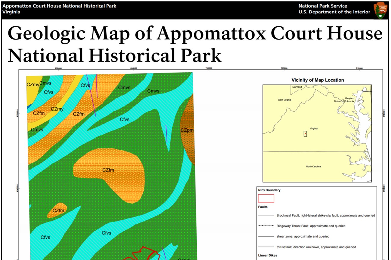
Appomattox Court House National Historical Park sits atop bedrock that includes the Fork Mountain Formation; the bedrock contains porphyroblastic aluminosilicate mica schist, garnet-bearing biotite gneiss, and amphibolite, as well as a band of greenstone and amphibole gneiss, with an interlayered belt of felsic metatuff, mica schist, and gneiss (Virginia Division of Mineral Resources 2003). Permeating through the regional rock units are small-scale faults, fractures, mylonite zones, foliation, and other deformation features. Foliation is commonly wavy, defined by thin alternating dark and light mineral bands (Nelson et al. 1999). Small-scale joints and fractures are ubiquitous in the rocks beneath the park. Most deformation fabrics follow the northeast-southwest regional structural trend.
Geologic Processes and the Historic Landscape
Maintaining this Civil War landscape often means resisting natural geologic changes, and this presents several management challenges. Geologic processes such as chemical weathering, seismicity, and slope erosion are constantly changing the landscape at the park. Runoff erodes sediments from any open areas and carries them down streams, ravines, and gullies. Erosion naturally diminishes higher areas such as ridges and hills, foundations, and earthworks. Erosion degrades bridge foundations and cuts streams back into restoration areas; subsequent deposition of added sediments fills in the lower areas such as trenches, railroad cuts, and stream ravines, distorting the historical context of the landscape. Alterations to park vegetation along exposed slopes lead to changes in the hydro-geologic regime at the park. For example, clearing trees and their stabilizing roots for historical restoration can lead to increased erosion, thereby increasing sediment load in nearby streams and undermining slopes.
Regional Geology
Appomattox Court House is a part of the Piedmont Physiographic Province and shares its geologic history and some characteristic geologic formations with a region that extends well beyond park boundaries.
- Scoping summaries are records of scoping meetings where NPS staff and local geologists determined the park’s geologic mapping plan and what content should be included in the report.
- Digital geologic maps include files for viewing in GIS software, a guide to using the data, and a document with ancillary map information. Newer products also include data viewable in Google Earth and online map services.
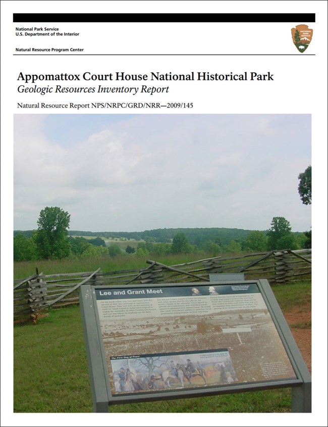
- Reports use the maps to discuss the park’s setting and significance, notable geologic features and processes, geologic resource management issues, and geologic history.
- Posters are a static view of the GIS data in PDF format. Newer posters include aerial imagery or shaded relief and other park information. They are also included with the reports.
- Projects list basic information about the program and all products available for a park.
Source: NPS DataStore Saved Search 2708. To search for additional information, visit the NPS DataStore.
A NPS Soil Resources Inventory project has been completed for Appomattox Court House National Historical Park and can be found on the NPS Data Store.
Source: NPS DataStore Saved Search 2698. To search for additional information, visit the NPS DataStore.

Related Links

