
NPS Photo Named for a Taidnapam (Upper Cowlitz) Indian habitation site along the river, Ohanapecosh is thought to mean “standing at the edge.” Experience the beauty and complexity of an old-growth forest situated among Douglas-firs, western red cedars, and western hemlocks. The east side of the park is somewhat drier and sunnier than the west side, making it a good destination when Paradise and Longmire are wet and foggy. Ohanapecosh is located 3 miles (4.8 km) north of the park boundary on State Route 123 and 36 miles (58 km) east of the Nisqually Entrance via park roads. Check road status for current conditions. ParkingThe parking area in front of the visitor center has:
Public BuildingsOhanapecosh Visitor CenterThe Ohanapecosh Visitor Center consists of a large room with exhibits and a small bookstore alcove. Paths leading to the visitor center slope upward from the parking lot and are uneven concrete, there is a bump at the entrance to the building, once inside the floors are smooth. There is a plaza outside along the west side of the building; the ground is uneven composite asphalt. The plaza is partially shaded with a view of the forest and includes a bench and an outdoor tree ring exhibit. Information desk: The desk has a lower area to the left as you enter, an accessible purchasing interface is located here. Exhibits: There is an oversized tactile map. The video "By the Water's Edge: the History of Ohanapecosh" has audio description available and can be viewed at a digital kiosk in the exhibits area. Bookstore: There is a small alcove with a book and gift sales area. Employees are available to reach items on higher shelves. Restrooms: There are accessible restrooms just outside the entrance to the visitor center to the right before you enter, attached to the building. Food: There is not an area to purchase food at the visitor center. Ohanapecosh Campground Information Window: The window is located to the right of the front door to the visitor center. The window is not wheelchair accessible. RestroomsOhanapecosh Visitor Center Women’s restroom:
Men’s restroom:

NPS Photo Water Fountains and Refill StationsThere is an accessible water fountain near the restroom just outside the front entrance to the visitor center. Wifi and Cell ServiceThere is public wifi at the visitor center that can be weak or intermittent. There is no cell service at Ohanapecosh. PathsThe paths from the parking lot to the visitor center are uneven sloping concrete. LodgingThere is no lodging at Ohanapecosh. DiningThere is no dining at Ohanapecosh. Picnic AreasOhanapecosh Campground CampingOhanapecosh Campground
Viewpoints
TrailsThere are no accessible trails at Ohanapecosh. The campground has a paved road throughout, used by both cars and pedestrians, with views of the forest and river. The Box Canyon Loop Trail is 0.5 miles long and paved. Starting from the east side of Box Canyon Bridge, the trail follows the edge of the canyon northwest towards Mount Rainier, crosses the canyon over a wood footbridge, then follows the other side of the canyon back to Stevens Canyon Road. The western side of the trail has several steps. Rounded, exposed bedrock borders the trail on the east side of the canyon. Look for fine striations or scratches across the rock’s surface left behind by the movement of past glaciers that once filled this canyon. Things to Do
Winter at OhanapecoshOhanapecosh is closed in winter, typically from October-June. NPS Mobile AppThe NPS App is accessible and includes alt text for images. Mount Rainier National Park does not have cell service in many areas; download the NPS App prior to coming to the park. Features available include:
Area Maps:
Explore other areas of Mount Rainier National Park: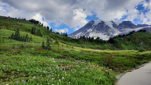
Accessibility at Paradise
Learn more about accessibility in the Paradise area. 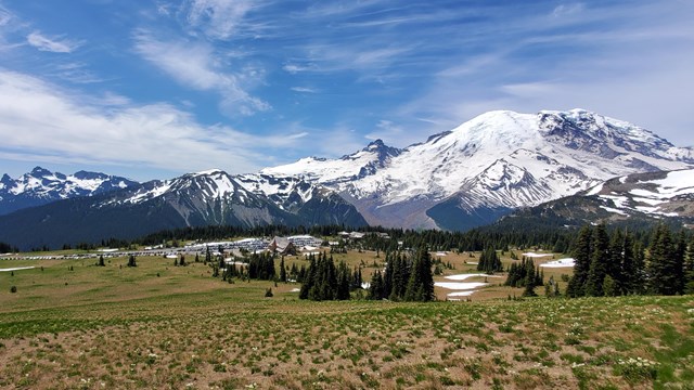
Accessibility at Sunrise
Learn more about accessibility at the Sunrise and White River areas. 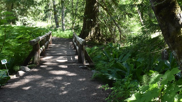
Accessibility at Longmire
Learn more about accessibility at Longmire and Cougar Rock. 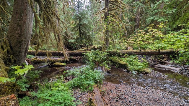
Accessibility at Carbon and Mowich Lake
Learn more about accessibility at Carbon River and Mowich Lake. 
Accessibility at Mount Rainier
Learn more about accessibility at Mount Rainier National Park. |
Last updated: October 3, 2024