
NPS Photo 
NPS Photo Longmire is a National Historic District located in the southwest corner of the park, 6.5 miles (10.5 km) east of the Nisqually Entrance. Learn more about Longmire history, hiking and attractions or watch Visit Longmire: Gateway to Mount Rainier for a short video introduction to the Longmire area. The article, Longmire: Designing a National Park Style, provides an overview of the history of the area. ParkingThe main parking lot is behind the museum, inn, and gift shop, it has:
There is a smaller parking lot to the right of the Longmire Administration Building, it has:
Public BuildingsLongmire MuseumThe museum is a historic building with a bookstore and exhibits. The doorways and walkways are narrow, with the narrowest at 29 inches. Paths to the museum are paved but are not level and can be steep. The museum front desk has a lower area at the front that is accessible to a person in a wheelchair, and a card reader for purchasing. There is an exhibit outside the entrance to the museum with a cross-section of a large tree; the rings are labeled with historic events. You can access public wifi from the porch of the museum. Wilderness Information CenterLocated in the first floor of the Longmire Administration Building, the accessible entrance is on the southeast corner of the building; the path is paved. The front entrance has two uneven flagstone steps. Much of the building is office space and not open to the public.. Transportation Exhibit / Historic Gas StationThe Transportation Exhibit is located in the historic gas station (no gas available). The exhibit is accessible and audio description is available in the NPS App under What to See > Longmire Area > Longmire Exhibits. General StoreThe General Store gift shop is accessible from the parking lot via a bumpy asphalt path. Some of the aisles inside are narrow, with three 30-inch wide areas, and one 23-inch wide area. Assistance is available from staff to reach items on higher shelves. The card readers at the checkout are accessible to a person using a wheelchair. RestroomsRestroom Building Women’s restroom:
Men’s restroom:
National Park Inn Women’s restroom:
Men’s restroom:
There are no restrooms available in the Wilderness Information Center, museum, or gift shop. Water Fountains and Refill StationsThere is a water refill station on the basement level of the National Park Inn. The basement level is accessible via an entrance on the left side of the building as you approach from the parking lot, across from the gift shop. Wifi and Cell ServiceThere is no cell service in Longmire. Public wifi is somewhat weak and can usually be accessed from the porch of the museum and from inside the National Park Inn. PathsAsphalt paths lead from the parking area to the inn, gift shop, and museum. The asphalt is bumpy in some areas. Some of the paths can be steep, there are several routes to each building. Lodging
Dining

NPS Photo Picnic AreasThere is a picnic table with room for a wheelchair on the side of the National Park Inn closest to the parking lot. There are several picnic tables near the General Store and Wilderness Information Center; but none have paved, even access. Nearby picnic areas include: Cougar Rock Picnic Area CampingCougar Rock Campground

NPS Photo ViewpointsThere are several viewpoints in and around Longmire, which can be reached via car or a short walk, including:
TrailsLongmire
Surrounding Area
Things to Do
Winter in LongmireMuch of Longmire remains open in winter. The road sometimes closes due to weather, check the forecast and the road status to prepare for your trip. The paths in Longmire are routinely cleared of snow, but the area can be very icy; sometimes the ice is hard to see, proceed with caution. The National Park Inn and the museum stay open in winter but the Wilderness Information Center is closed. NPS Mobile AppThe NPS App is accessible and includes alt text for images. Mount Rainier National Park does not have cell service in many areas; download the NPS App prior to coming to the park. Features available include:
Area Maps:

Explore other areas of Mount Rainier National Park: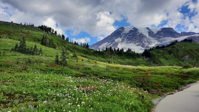
Accessibility at Paradise
Learn more about accessibility in the Paradise area. 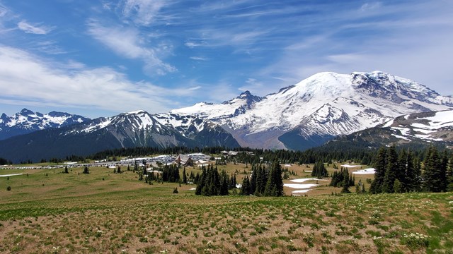
Accessibility at Sunrise
Learn more about accessibility at the Sunrise and White River areas. 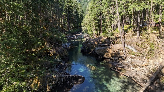
Accessibility at Ohanapecosh
Learn more about accessibility in the Ohanapecosh area. 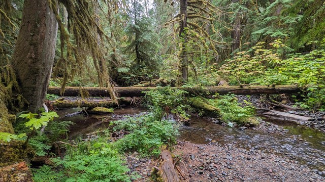
Accessibility at Carbon and Mowich Lake
Learn more about accessibility at Carbon River and Mowich Lake. 
Accessibility at Mount Rainier
Learn more about accessibility at Mount Rainier National Park. |
Last updated: October 3, 2024