|
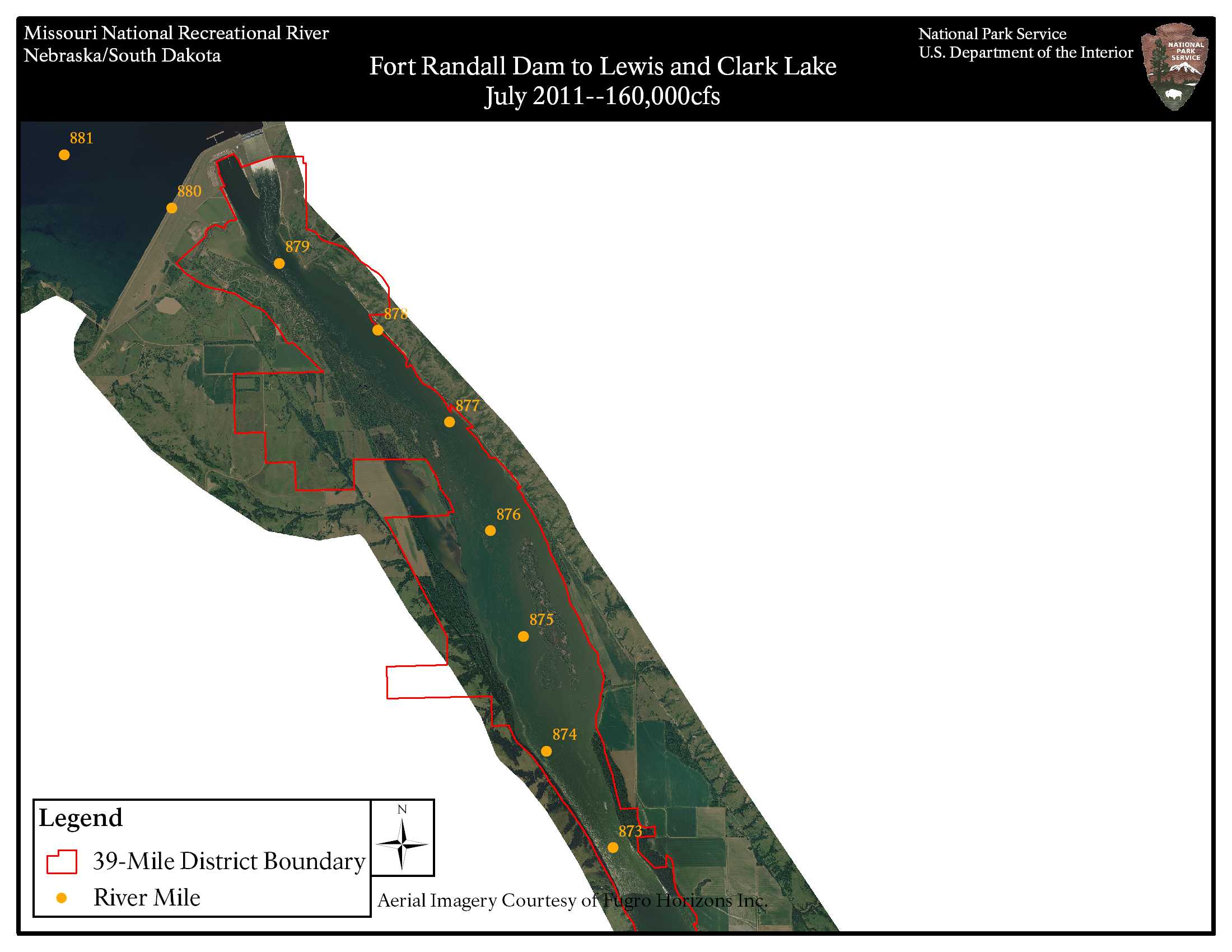
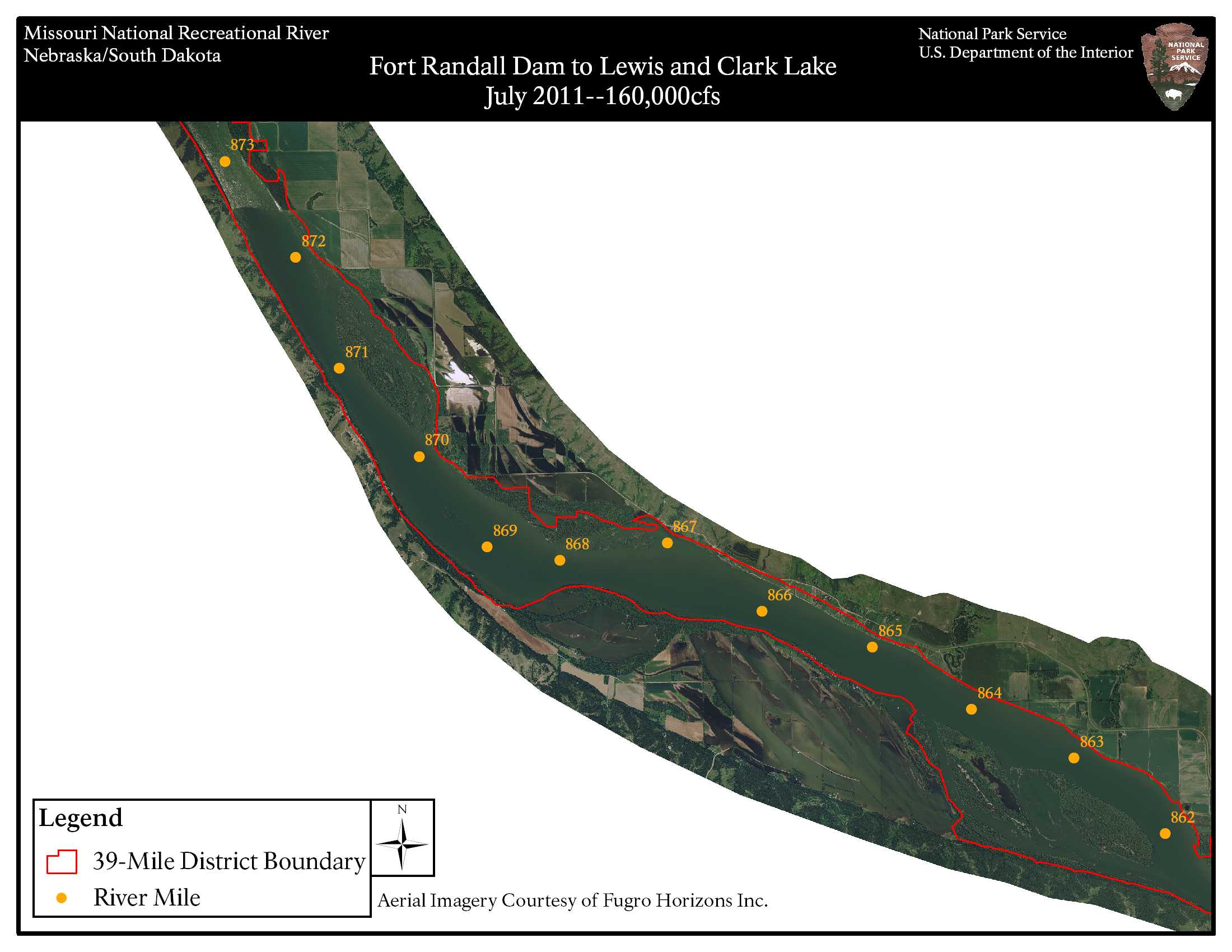
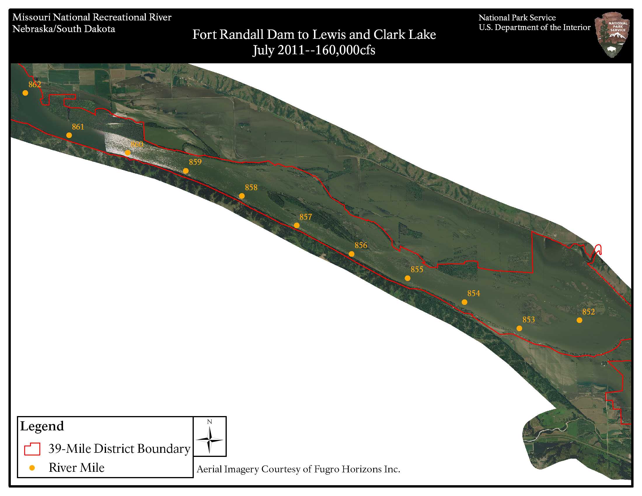
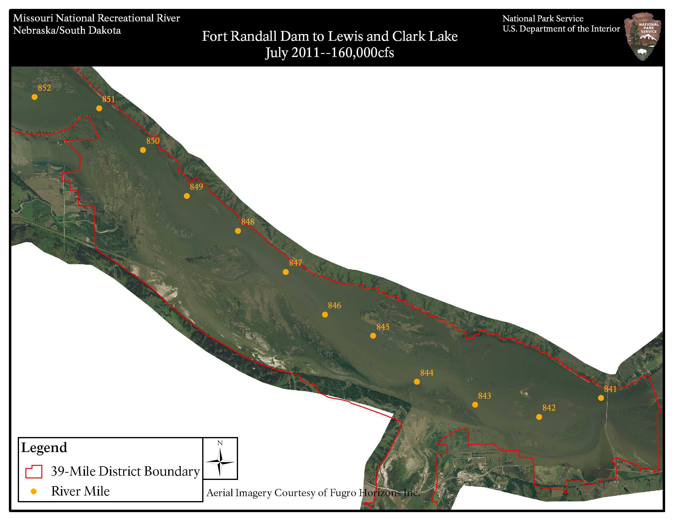
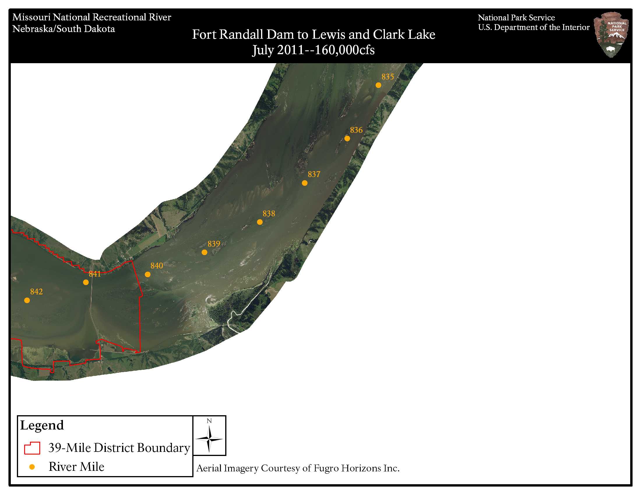
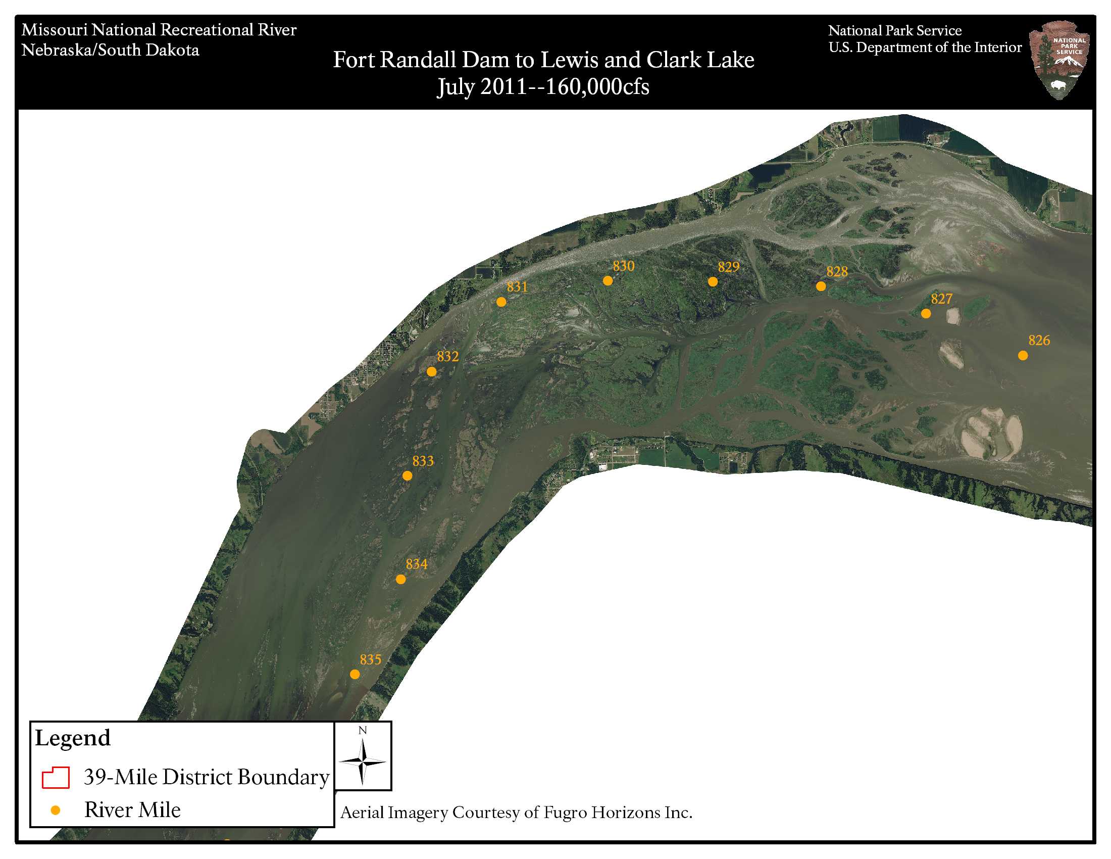
For a hard copy of the park map, please contact us. Aerial Photo Maps of the 39-Mile District and 59-Mile District of the river are available by visiting the U.S. Army Corps of Engineers Digital Library. Visit the Missouri National Recreational River Water Trail and the Missouri River Outdoor Recreation Access Guide for maps and resource information. Paddler's Guide to the 39-Mile District and 59-Mile District. Maps are also available through the U.S. Army Corps of Engineers for Fort Randall and Gavins Point areas. Historic Flood of 2011 - Aerial Imagery Maps 39 mile reach (Fort Randall Dam to Running Water, SD)
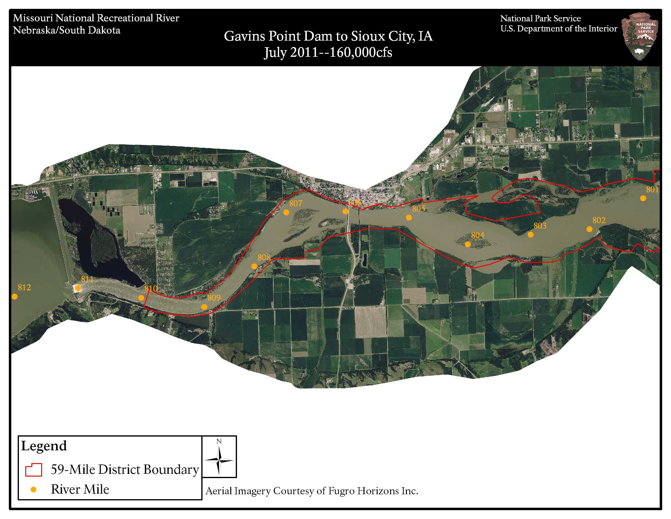
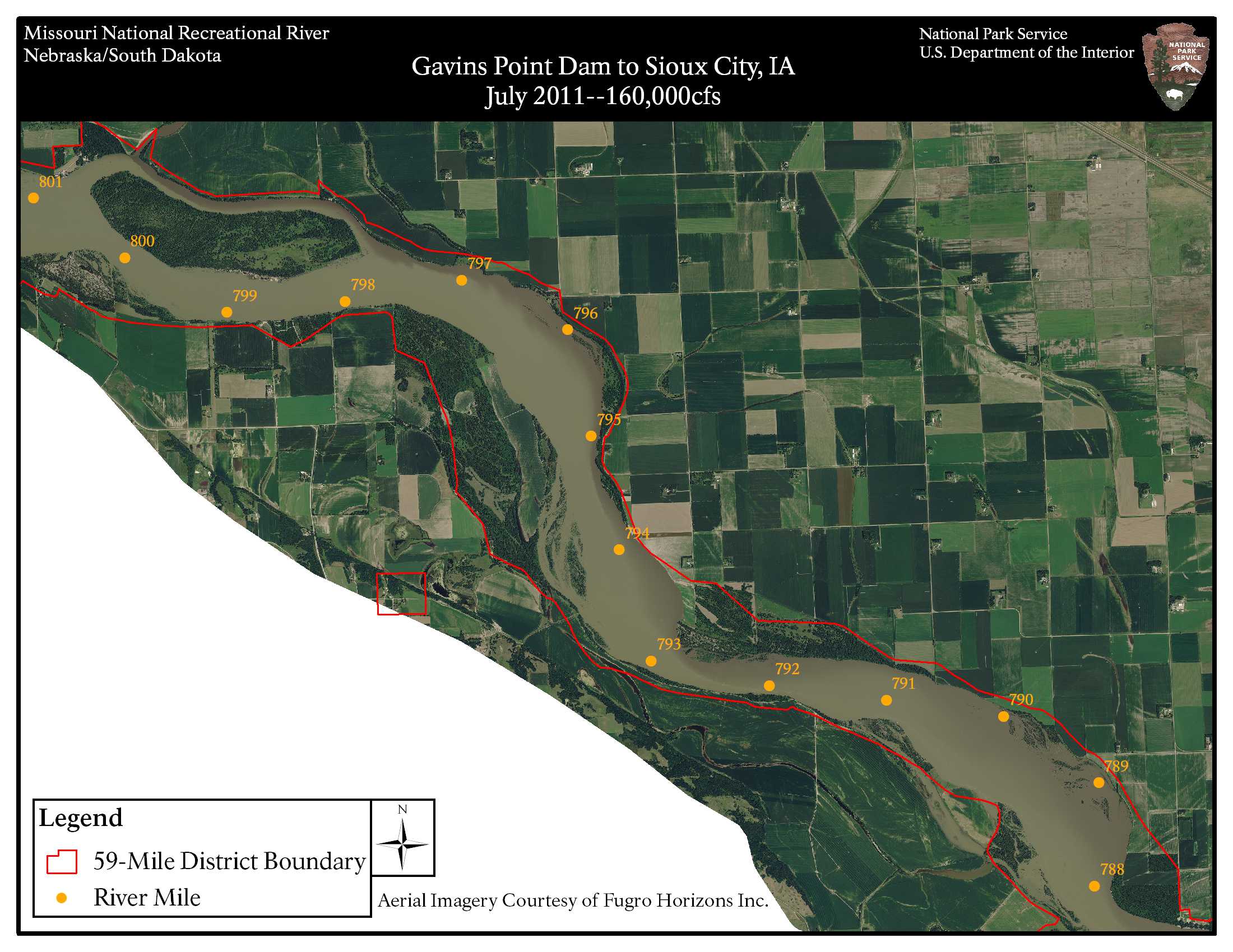
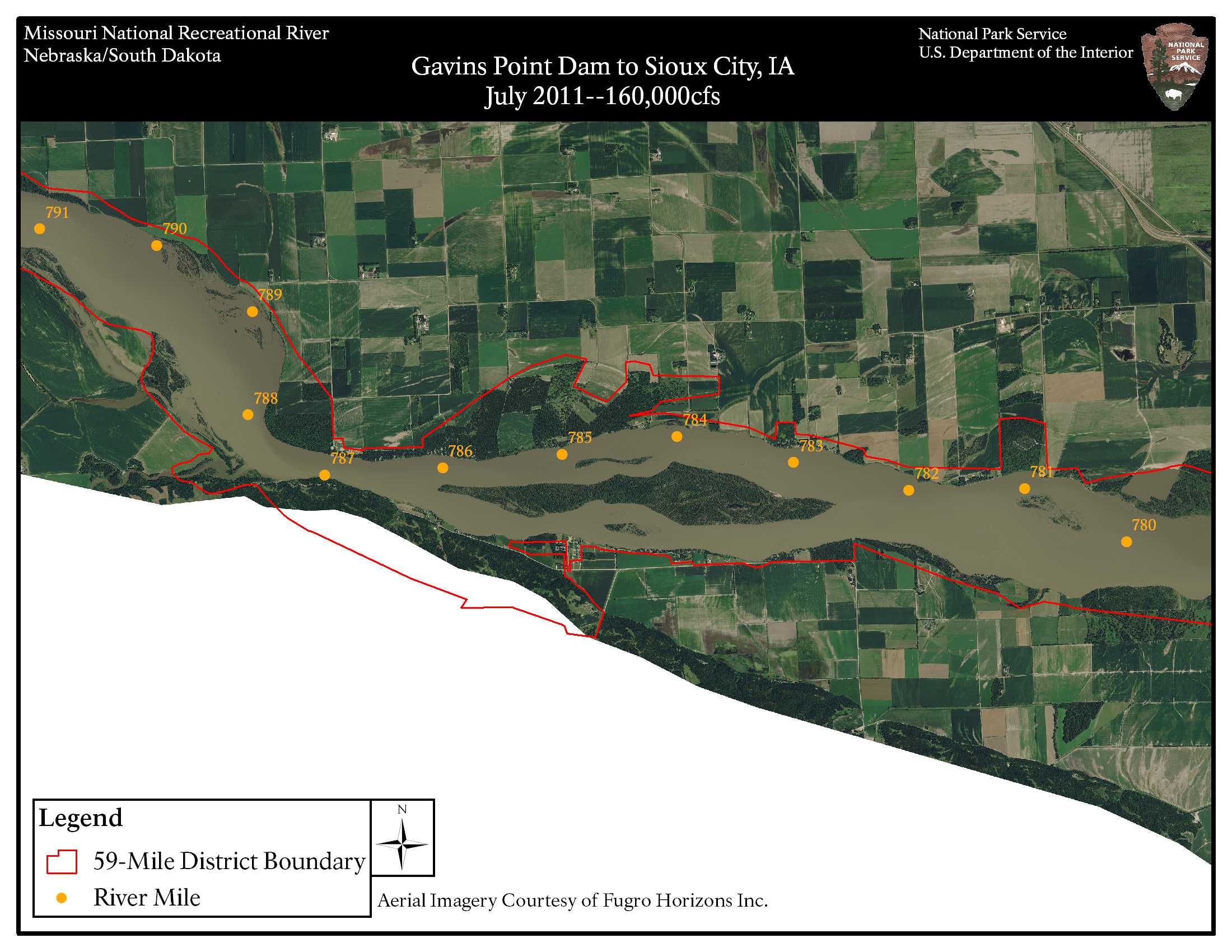
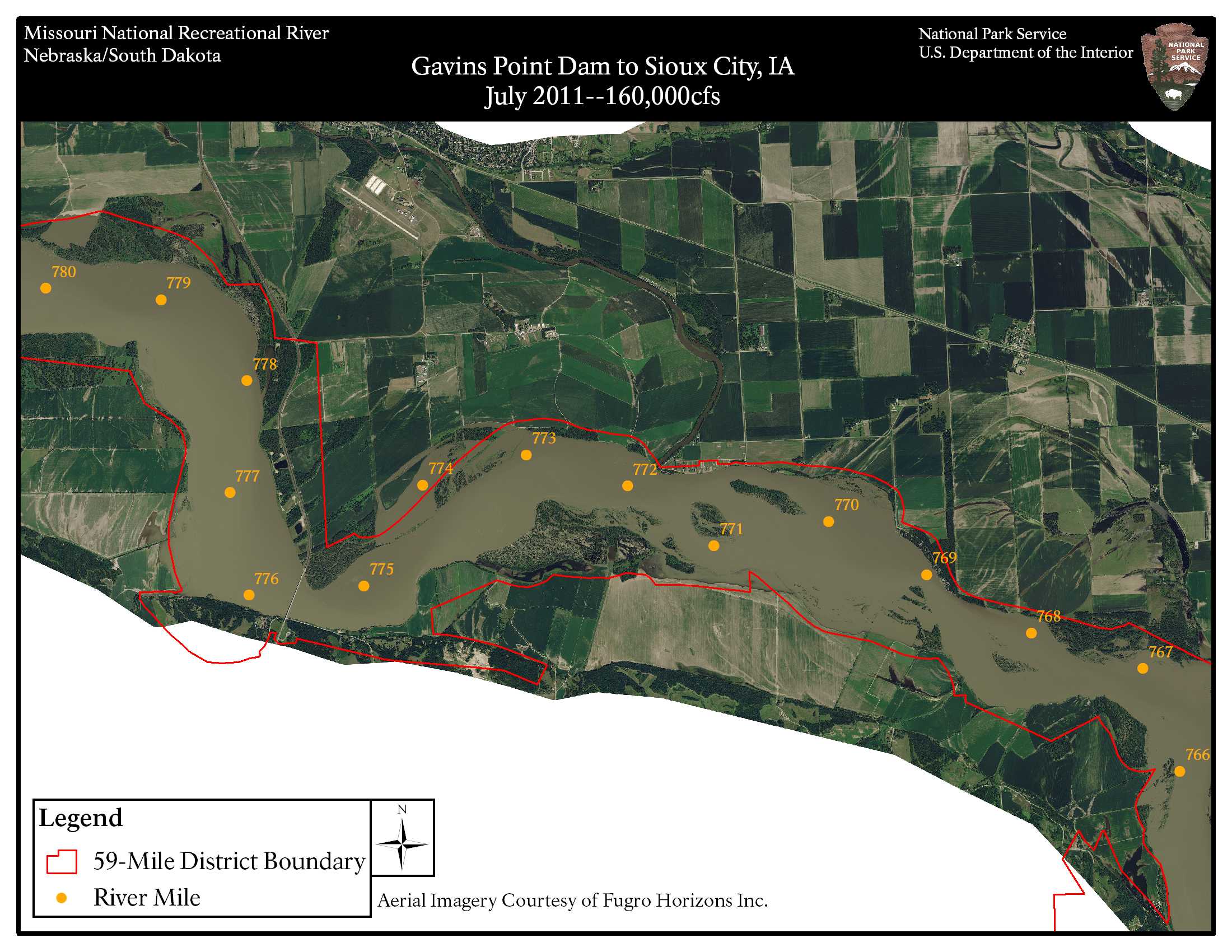
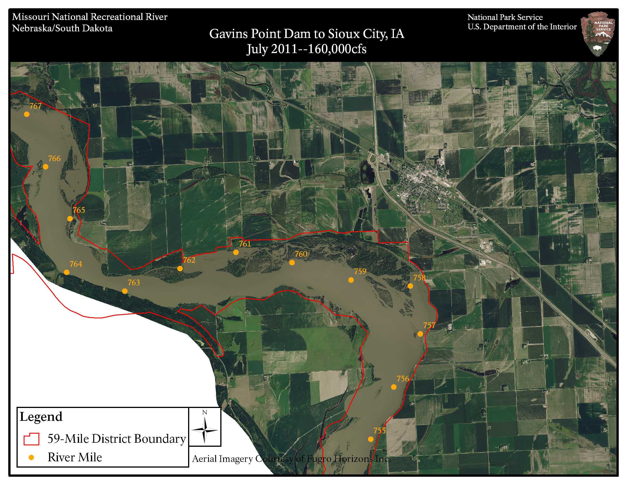
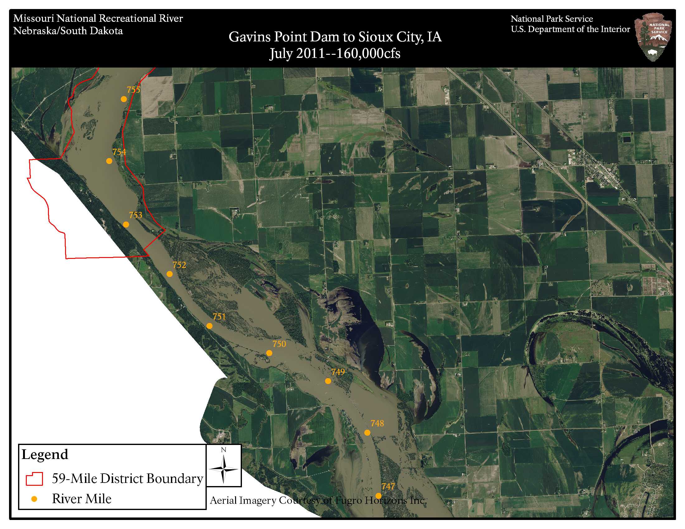
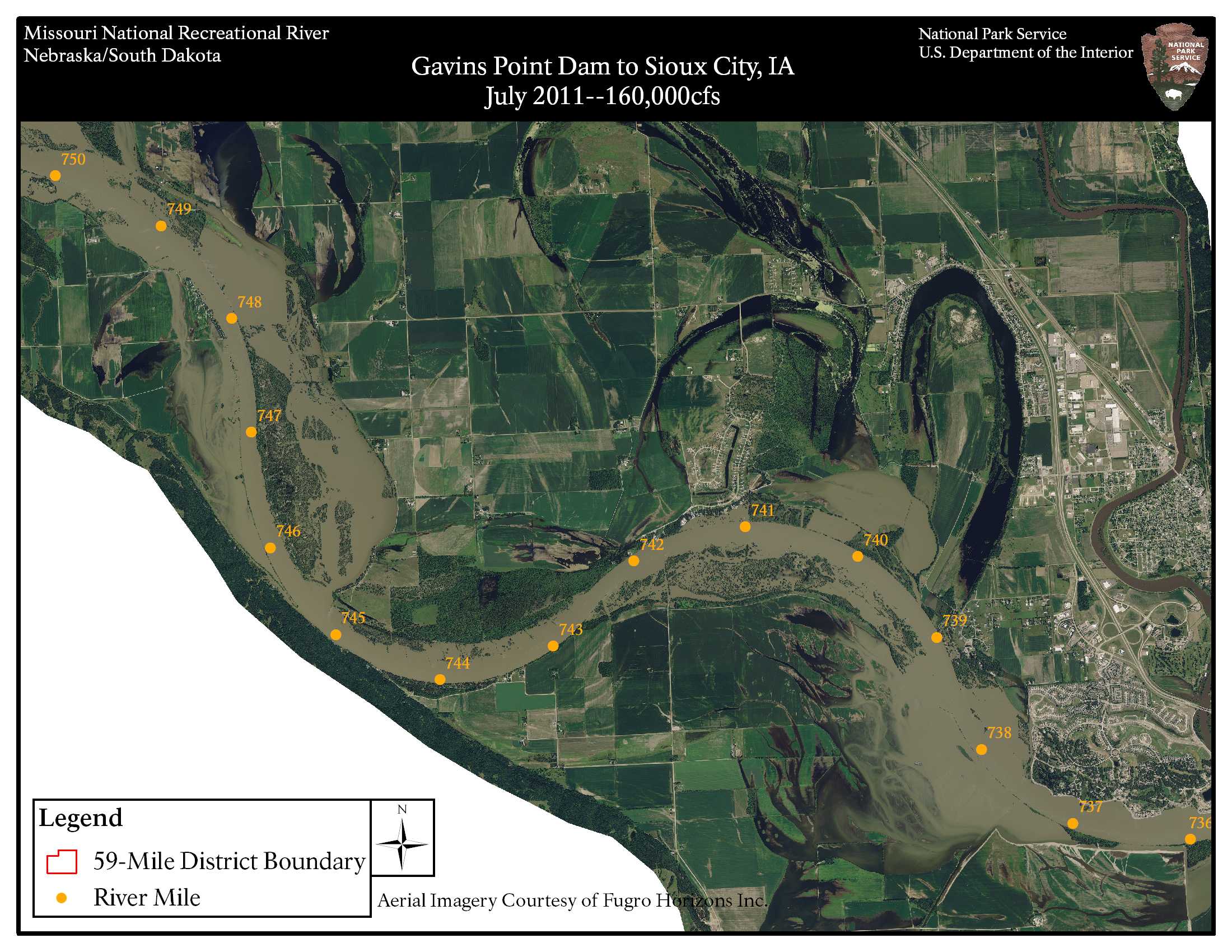
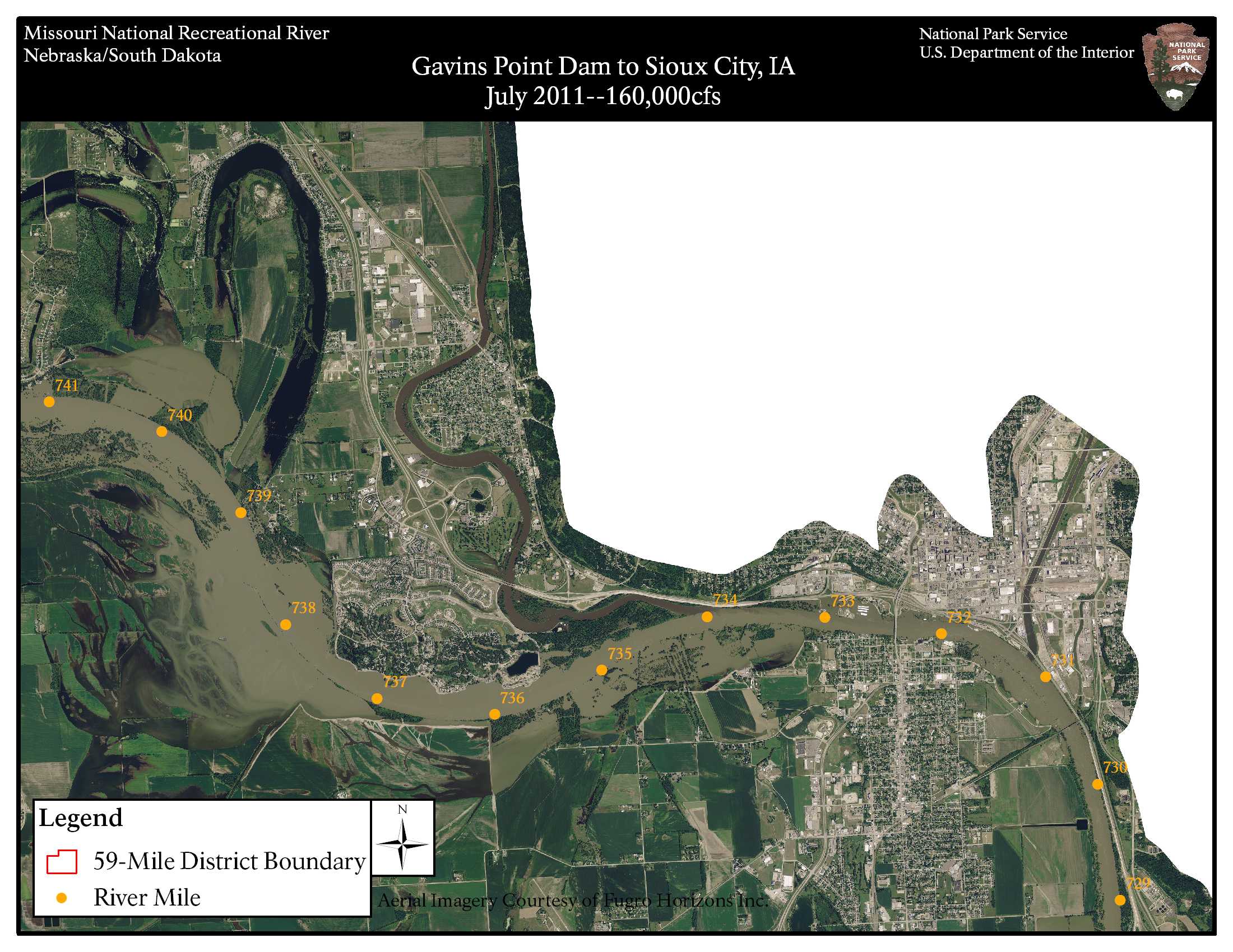
59 mile reach (Gavins Point Dam to Sioux City, IA) 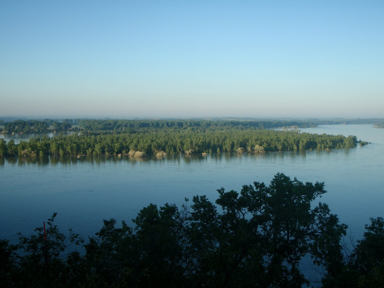
NPS |
Last updated: January 2, 2020