National Park Service LogoU.S. Department of the InteriorNational Park ServiceNational Park Service
National Park Service:  U.S. Department of the InteriorNational Park Service Arrowhead
Lewis & Clark National Historic Trailcolumbia river gorge
view map
text size:largestlargernormal
printer friendly
Lewis & Clark National Historic Trail
Plan Your Visit
 
Lewis and Clark NHT logo

NPS Image

NPS logo for the Lewis and Clark NHT

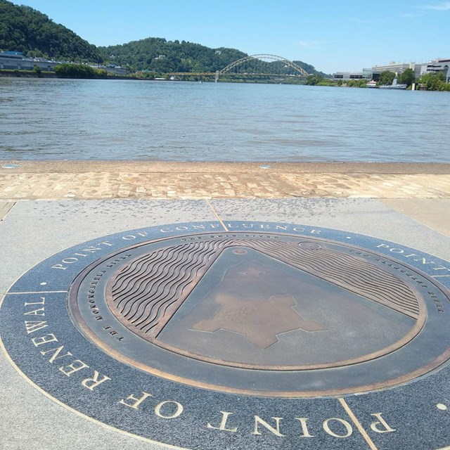
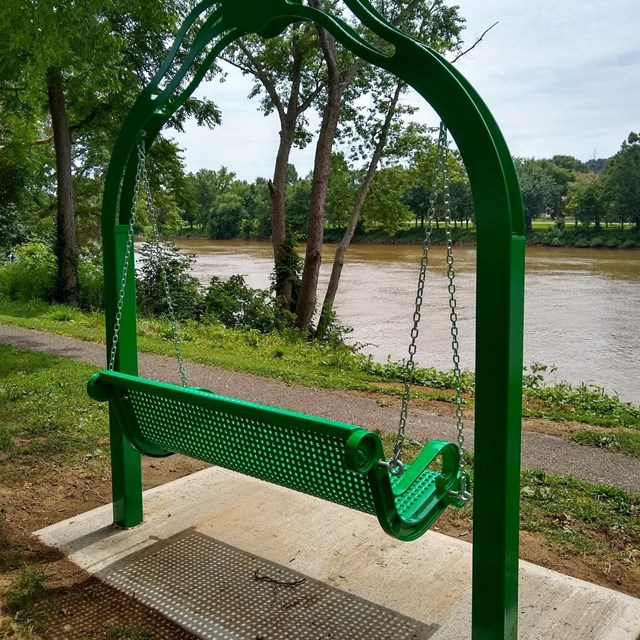
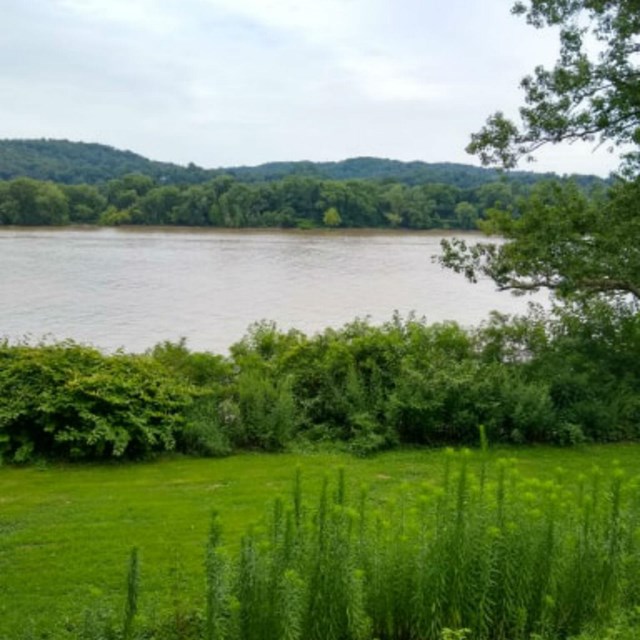
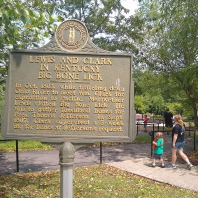
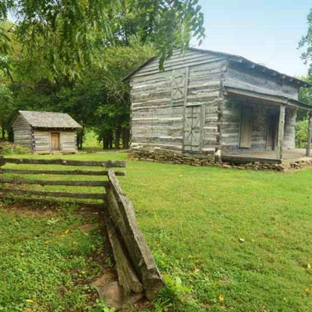
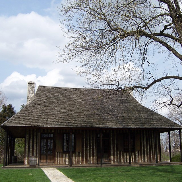
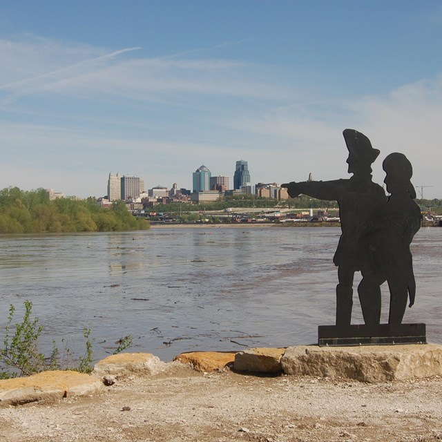
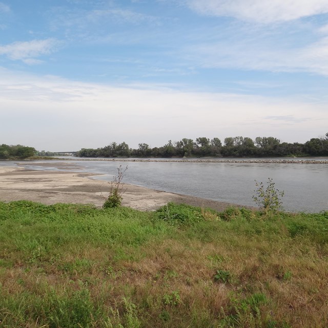
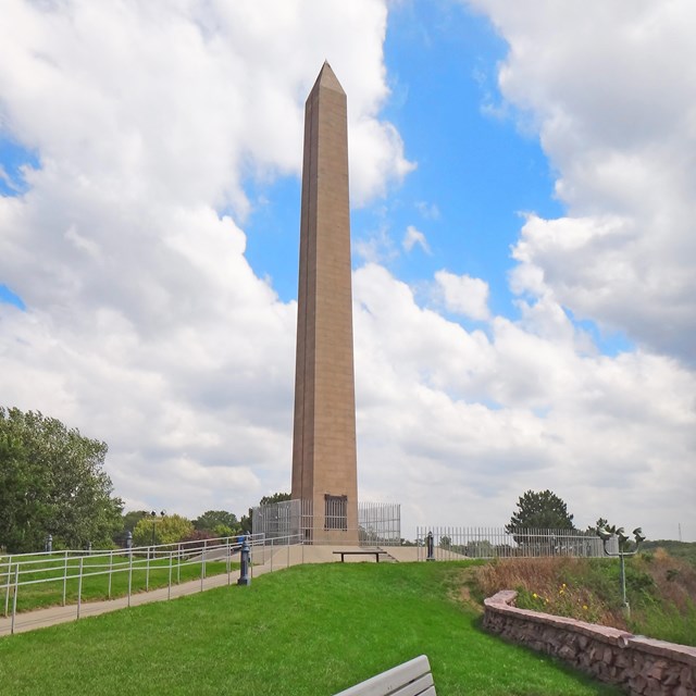
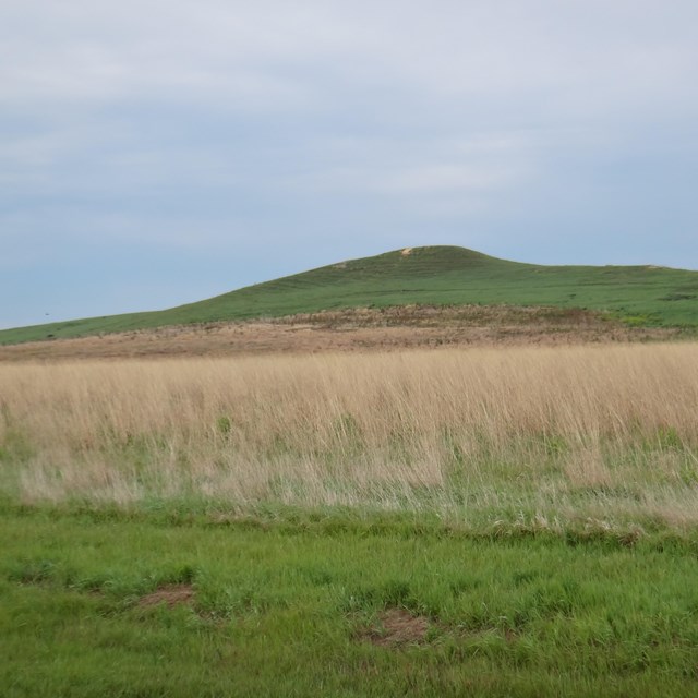
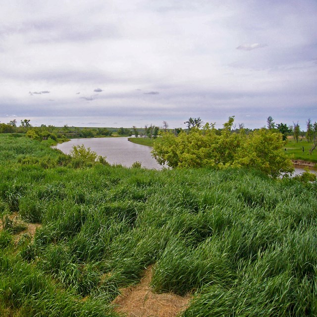
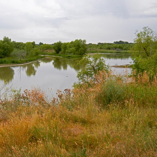
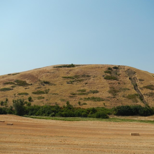
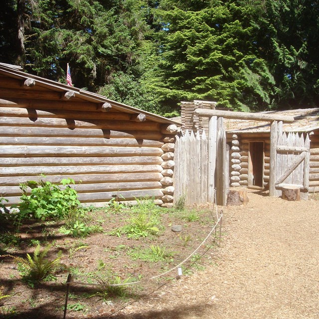
The Lewis and Clark Expedition traveled from Illinois to the Pacific Ocean and back between 1804 and 1806. Over two hundred years later, visitors can retrace the Expedition's path by following the Lewis and Clark National Historic Trail. Among the more than 100 sites along the Lewis and Clark National Historic Trail, only five are National Park Service sites. Today's Trail is the product of many diverse groups: federal, tribal, state and local agencies, and public and private organizations. These groups work together across more than 3700 miles of the Trail to provide opportunities for visitors to experience and learn about the Lewis and Clark Expedition and its many stories.

To learn more about sites along the Trail, click any of the links above or find out what's available on the Trail state by state.

Drawing of camera
Lewis and Clark NHT Photo Albums
Explore the Lewis and Clark story and Trail through pictures.
more...
Reenactors portray members of the Corps of Discovery
Meet the Members of the Expedition
Learn more about some of the many people who had a role in the Expedition.
more...
Pressed plant from Expedition, now at the Academy of Natural Sciences  

Did You Know?
The Corps of Discovery didn’t discover anything. Everything the Corps reported on- plants, animals, landforms - had been known to and used by American Indian tribes for generations. The Corps were, however, the first to record these items for science.

Last Updated: October 11, 2006 at 15:19 EST