|
Toggle between two maps with different features, Park Tiles or Brochure Map, using the picklist on the top left corner of the map. To download official maps in PDF, Illustrator, or Photoshop file formats, visit the National Park Service cartography site. The free NPS App includes an interactive park maps. The map is easy to use while outdoors and features large font sizes, illustrated trails and services, scenic highlights, and multiple zoom levels. By tapping the “Locate me” icon you will always know where you are. 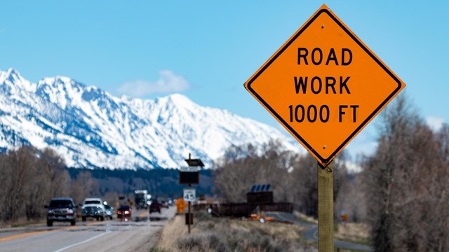
Park Roads and Construction
Check the status and seasonal closing dates of park roads. 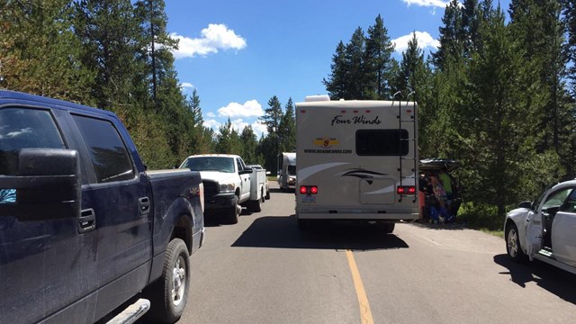
Parking Lots
Know where to go. See the status of parking lots across the park. 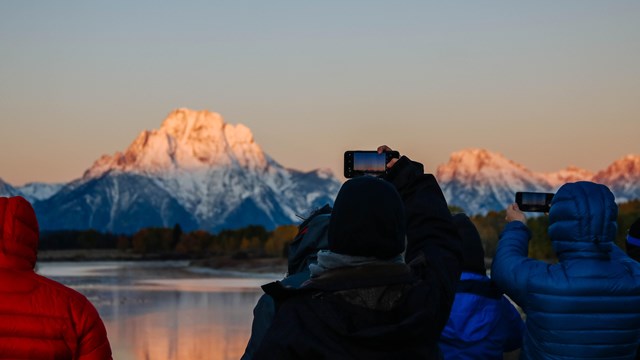
Plan Your Visit
Learn more about Grand Teton and plan your trip here. 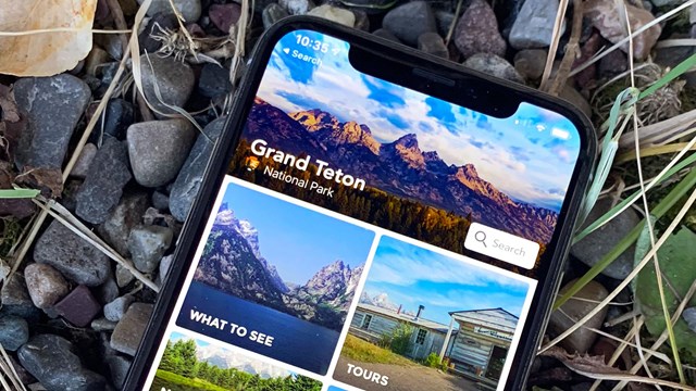
We have an app for that
Download our app before you get here! Explore Grand Teton and discover places to visit, find a bite to eat, and a place to stay. 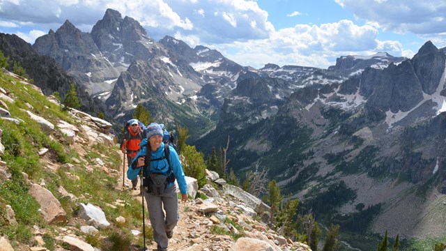
Teton Backpacking
Plan your next Teton adventure in the backcountry. Learn about the best places to go, overnight permits, safety, and regulations. |
Last updated: June 29, 2022