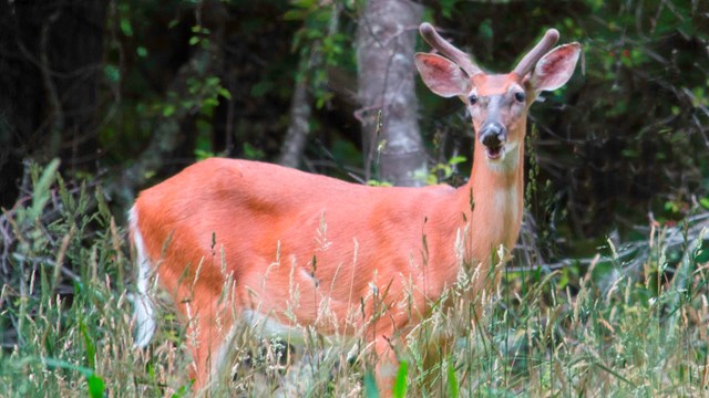
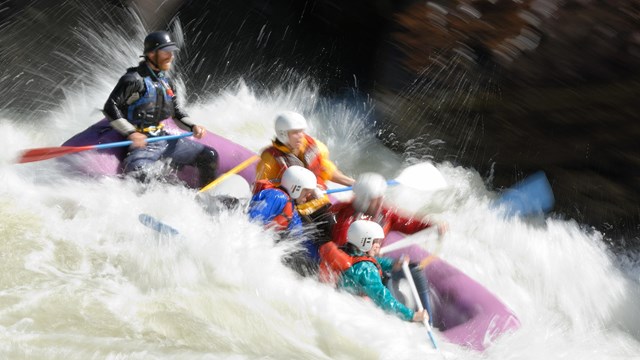
National Park Service LogoU.S. Department of the InteriorNational Park ServiceNational Park Service
National Park Service:  U.S. Department of the InteriorNational Park Service Arrowhead
Gauley River National Recreation AreaView of the Gauley River Canyon
view map
text size:largestlargernormal
printer friendly

Wild and Wonderful

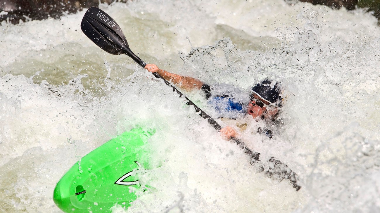
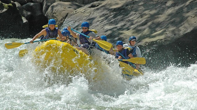
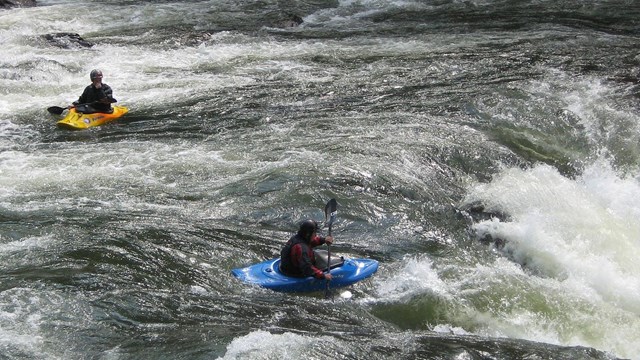
The 25 miles of free-flowing Gauley River and the six miles of the Meadow River pass through scenic gorges and valleys containing a wide variety of natural and cultural features. The Gauley River contains several class V+ rapids, making it one of the most adventurous white water boating rivers in the east.

The Gauley River National Recreation Area is managed by New River Gorge National River. For more information about National Park Service lands and facilities in the area, visit the New River Gorge National River web site.

 
Rafters running a whitewater rapid on the Gauley River

Gauley River Whitewater

Dropping more than 668 feet through 28 miles of rugged terrain, the Gauley River's complex stretch of whitewater features more than 100 rapids with a steep gradient, technical runs, an incredible volume of water and huge waves. Its vigorous rapids, scenic quality and inaccessibility combine to make Gauley River one of the premier whitewater runs in the world.
more...
 
Costumed soldiers at a Civil War battle reenactment.

Carnifex Ferry Battlefield State Park

Nestled on the rim of the Gauley River Canyon near Summersville, West Virginia, Carnifex Ferry Battlefield State Park is an important Civil War battle site. This Civil War battle represented the failure of a Confederate drive to regain control of the Kanawha Valley.
more...


Write to

P. O. Box 246
Glen Jean, WV 25846

E-mail Us

Phone

Park Headquarters
(304) 465-0508

Canyon Rim Visitor Center
(304) 574-2115

Fax

(304) 465-0591

Climate

Weather in the Gauley River area is seasonal, and the climate generally mild. Winter can bring significant snowfall, but it is usually short-lived. Summers can be warm and humid.
Raft at Sweets Falls  

Did You Know?
This first big rapid on the Lower Gauley became known as Mash during an early 1970's descent when a boater named Sam Martin mashed his hand while running this rapid for the first time.

Last Updated: September 19, 2006 at 09:37 EST