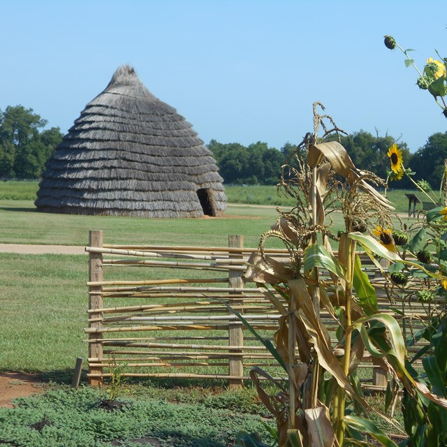
A Brief History
During the Spanish colonial period in North America, numerous “royal roads”—or caminos reales—tied far-flung regions of the empire to Mexico City. One particular collection of indigenous trails and trade routes became known as El Camino Real de los Tejas, the primary overland route for the Spanish colonization of what is today Texas and northwestern Louisiana. The trail’s name is derived not only from its geographic extent but also from some of its original users. Spaniards referred to a prominent group of Caddo Indians as the Tejas, a word derived from the Caddo term for ‘friend’ or ‘ally.’ Thus, the Spanish province of Tejas, the Mexican state of Coahuila y Tejas, and the historic trail traversing them owe their name to the Caddo language.
Spanish interest in Texas began because of the expedition of René Robert Cavelier, Sieur de La Salle, a French explorer who established a fort along the Texas coast in 1685. Spanish officials saw this incursion as a threat to their silver mines and their shipping routes through the Gulf of America. Though La Salle’s settlement failed after he was killed by his own men, the threat of French colonization remained a powerful motivating force behind the development of Spanish Texas—much of which occurred along El Camino Real de los Tejas.
In 1690, a party of soldiers and priests crossed the Rio Grande on their way to the Neches River, where they established two missions intended to cultivate religion and a sedentary lifestyle among the Caddos. Following a smallpox outbreak in 1693, however, Caddos warned the Spaniards to leave or die. They retreated back across the Rio Grande, establishing one of the enduring themes of El Camino Real de los Tejas: American Indians often dictated the terms of Spanish settlement in eastern Texas, and not vice versa.
Prompted once again by the threat of the French, Spaniards reestablished their presence in eastern Texas in 1716 by building four churches and a presidio; however, the missions largely failed to attract the desired number of American Indian converts. A few years later, Spaniards constructed a fort at Los Adaes—just twelve miles west of the French post at Natchitoches. Yet even though Los Adaes would serve as the capital of Spanish Texas until 1770, it relied heavily upon illegal trade with its neighboring French settlement to stay afloat. Its isolated position at the eastern end of El Camino Real de los Tejas, separated from other Spanish settlements by a long trail with treacherous river crossings, made life at Los Adaes a daily struggle.
The governor of the Spanish province of Texas began eyeing a new settlement along the San Antonio River to serve as a midpoint between the Rio Grande and the East Texas missions. This area eventually turned into the heart of Spanish Texas, as the Crown’s eastern outposts continued to be hamstrung by supply shortages and indifference from members of the Caddo confederacy who—well-armed with French trade goods and able to sustain themselves without Spanish assistance—found little use for the mission complexes. The Spaniards eventually abandoned three of the East Texas missions, reestablishing them near San Antonio in 1731. By 1750, peace with Apaches allowed the area’s Hispanic settlers to expand their ranching and farming activities along the San Antonio River. By 1773 San Antonio was the new capital of Tejas, and the residents of Los Adaes were forced to relocate there. Once again, El Camino Real de los Tejas played a prominent role in the Spanish cycle of populating and abandoning eastern Texas.
The trail retained its importance after Mexican independence in 1821. Ranchers continued to bring cattle along El Camino Real, establishing large ranches along the Rio Grande south of Laredo. Large numbers of Anglo settlers used the trail en route to their new homes in Texas; their arrival eventually led to revolt against Mexico, during which armies from both sides moved along the royal road. Usage of the original route diminished in 1845 when the United States annexed Texas.
Significance
El Camino Real de los Tejas served as a political, economic, and cultural link between Mexico City and Los Adaes (and all points in between). Settlers, missionaries, soldiers, servants, and indigenous allies followed various roads and trails along the 2,500 miles of this route to populate the settlements, missions, and presidios of eastern Texas and northwestern Louisiana. Linking a variety of cultural and linguistic groups, the royal road served as an agent for cultural diffusion, biological exchange, and communication and as a conduit for exploration, trade, migration, settlement, and livestock drives. Spanish, Mexican, French, American, Black, and American Indian travelers along El Camino Real de los Tejas created a mix of traditions, laws, and cultures that is reflected in the people, landscapes, place names, languages, music, and arts of Texas and Louisiana today.