Last updated: October 10, 2024
Thing to Do
Watch for Salmon at Salmon Cascades

NPS Photo
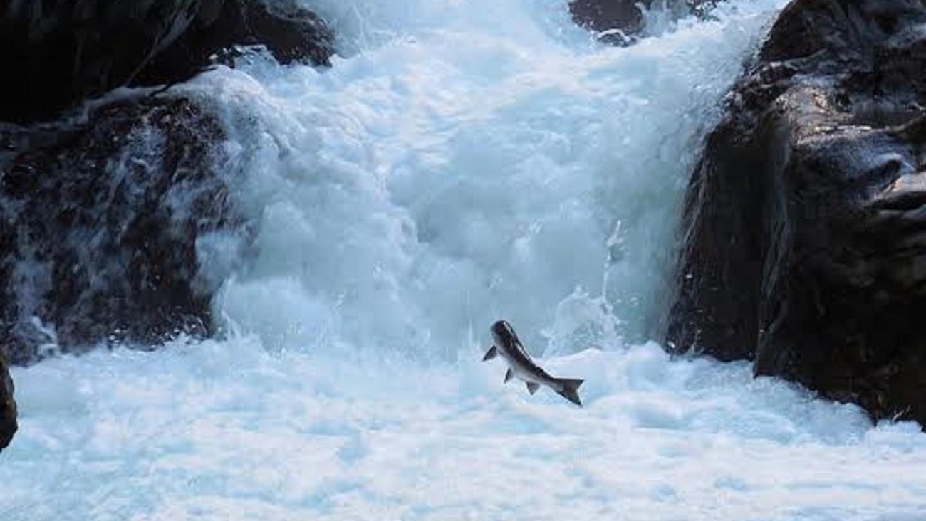
In the late summer and early fall, salmon can be seen leaping from Salmon Cascades on the Sol Duc River! Get a glimpse on a viewing platform located above the cascades.
The Sol Duc River serves as a key highway for coho salmon, running through the river valley and ascending to lakes and headwaters in the surrounding mountains. Chinook and coho salmon ascend the Sol Duc in late summer and spawn in late fall, while cutthroat trout and steelhead run in the fall and winter and spawn in the spring. All of these anadromous fish are born in the Sol Duc River but spend most of their lives in the Pacific Ocean before returning home to spawn. The Sol Duc is one of the few places where salmon run in every season. Keep a sharp lookout to see if you can spot one!
The Sol Duc River serves as a key highway for coho salmon, running through the river valley and ascending to lakes and headwaters in the surrounding mountains. Chinook and coho salmon ascend the Sol Duc in late summer and spawn in late fall, while cutthroat trout and steelhead run in the fall and winter and spawn in the spring. All of these anadromous fish are born in the Sol Duc River but spend most of their lives in the Pacific Ocean before returning home to spawn. The Sol Duc is one of the few places where salmon run in every season. Keep a sharp lookout to see if you can spot one!
Details
Duration
15-45 Minutes
Activity
Wildlife Watching
Pets Allowed
No
Activity Fee
No
Entrance fees may apply, see Fees & Passes information.
Location
Salmon Cascades trailhead
The trailhead is at approximately milepost 7 on the Sol Duc Road. The trail travels 190 feet to a viewing platform.
Reservations
No
Season
Spring, Summer, Fall
Time of Day
Day
Accessibility Information
Trail Length: 190 feet to viewing platform
Surface Type: Compacted gravel
Typical Trail Width: 6 feet
Typical Running Slope: Less than 5% with one 12-foot uphill to the viewing platform 7-11%
Typical Cross Slope: Less than 2%
Elevation Gain/Loss: Less than 25 feet
Accessible Parking: Van-accessible parking along parking area.
The trail proceeds into the woods at grades under 5%. At 100 feet there is a root in the center of the trail that creates a slight hump, but runs in-line with the trail, and can be easily navigated around. At 140 feet, the trail arrives at an intersection. The viewing platform is 50 feet further to the right from the intersection, including a brief steep climb for 12 feet at 7-11%. Continuing straight from the intersection, the trail narrows to a 2-foot width. The first 35 feet climbs at steep grades up to 15% then levels out, ending at a 2-3 foot drop off near the river.
