Last updated: August 2, 2023
Thing to Do
Death Canyon - Static Peak Divide Junction

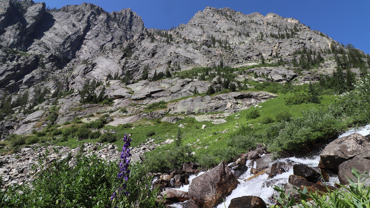
NPS Photo/A. Falgoust
Head into Death Canyon for spectacular views of Phelps Lake and the surrounding peaks. Starting from the Death Canyon Trailhead, hikers will climb to the Phelps Lake Overlook before dropping down to Phelps Lake and then climbing back up into Death Canyon. The trail winds through forests and up rocky slopes before reaching the patrol cabin. From there, hikers have the option to continue into the canyon, split off to the Static Peak Divide Trail, or head back to the trailhead. In spring and early summer the trail is often covered with snow and can be dangerous without experience and the proper equipment. Check conditions at a visitor center before attempting the trail early in the season.
Details
Duration
4-6 Hours
The Death Canyon to Static Peak Divide Junction Trail is a strenuous, 7.7 mi (12.4 km) RT out and back trail with 2,400 ft (730 m) of elevation gain.
Activity
Hiking
Pets Allowed
No
Activity Fee
No
A general fee is charged to enter Grand Teton National Park.
Location
Death Canyon Trailhead
Park at the Death Canyon Trailhead for access to the Death Canyon - Static Peak Divide Junction Trail. The Death Canyon Trailhead is located one mile down a rutted, dirt road. The road is not recommended for vehicles with low clearance. Exercise caution when driving down the Death Canyon Road and pull fully off of the road if parking on the shoulder.
Reservations
No
Permits are required for those planning to stay overnight in the backcountry. Visit the backcountry page to learn about obtaining a permit.
Season
Summer, Fall
Death Canyon is best accessed in summer after the snow melts and in fall before the first snow arrives. Hikers should use caution when traveling over snow and not attempt Death Canyon unless they have previous snow experience and the proper equipment.
Time of Day
Day
Accessibility Information
The Death Canyon to Static Peak Divide Junction Trail is a strenuous, 7.7 mi (12.4 km) RT out and back trail with 2,400 ft (730 m) of elevation gain and an average slope of 15%. The trail has numerous rocks and small boulders in the pathway.
