Last updated: December 13, 2020
Thing to Do
East Point Loop Road
Turn left out of the Visitor Center parking lot onto Airport Beach Road. Continue straight at the stop sign onto East Point Loop Road. You may encounter heavy equipment and many large trucks as you drive through this industrial area. Please use caution.
Mile 0.1 - Powerhouse (1942)
This 93-foot by 103-foot concrete and reinforced-steel building originally supplied electrical power to Dutch Harbor Naval Operating Base. It now supplies power to the City of Unalaska. The 5-foot-thick walls and 6½-foot-thick roof were built to withstand the force of a 250-kilogram bomb. After the hill directly behind the Powerhouse was hit by Japanese bombs in June 1942, it became known as “Suicide Hill” because of the men who died there.
Details
Activity
Scenic Driving
Pets Allowed
Yes
Activity Fee
No
Entrance fees may apply, see Fees & Passes information.
Reservations
No
Time of Day
Day
Accessibility Information
This activity is accessible for all visitors with vehicle access. This is intended as a driving guide. Participants can chose their own level of participation and activity.

Enclosed walkways once connected these large wood-frame buildings designed by Albert Khan. The self-contained, fuel-efficient complex provided welcome relief from the wind, rain, and snow as the men walked from their barracks to the mess hall. An air raid shelter was located beneath the barracks (J. Dickrell, Center of the Storm). The barracks, now used as warehouses, retain their original 1940s appearance.
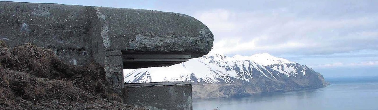
Mile 0.3 - Station Brig (1942)
(For a better view of the building, turn right at the next street, Delta Way)
This small concrete and reinforced steel structure was part of the mess hall and barracks buildings complex. The Brig consisted of two standard cells, one solitary-confinement cell, and a small exercise area. On September 17, 1942, the crew of the U.S.S. Reid sank a Japanese submarine near Kiska Island. Five Japanese crew members survived and were taken prisoner. According to the official report, the prisoners were brought to the Brig at Dutch Harbor Naval Operating Base and questioned individually. “All prisoners freely answered questions ... and some information of military value was obtained” (War Diary, Sept. 1942). After questioning, several prisoners were taken to the nearby Aeronautical Expedition huts (no longer standing) where they were held until September 28, 1942, when the U.S.S. Chaumont transported the captured submarine crew to the continental U.S. for internment.
Mile 0.3 - Delta Western Dock, S.S. Northwestern (1940-1942)
Living quarters for the Siems-Drake construction crew was a refurbished 1889 freight and passenger ship, the S.S. Northwestern. The ship housed 280 workers and its steam turbo-generators furnished 2,300 volts of electricity to the naval base. On June 3, 1942, Japanese pilots bombed the ship, causing a fire that lasted for three days. Damaged beyond repair, the S.S. Northwestern was towed to the end of Captains Bay where it remains, half submerged. In 1994, the S.S. Northwestern Shipwreck Site was listed in the National Register of Historic Places.

Diesel and gasoline storage tanks were once located on the beach below Rocky Point (not visible from the road). These tanks were bombed during the 1942 attack on Dutch Harbor. Fire from the burning tanks produced thick black smoke that covered the shoreline for days.
Mile 0.8 - Cottage (private residence) (1912)
This wood-shingle house pre-dates World War II and is one of the oldest homes on Amaknak and Unalaska islands.
Mile 0.8 - Radio transmitter power plant (private property) (1919)
This concrete structure supplied power to the Naval Radio Station Apartment House in the 1930s and 1940s. During World War II, the doors were reinforced with freestanding concrete blast walls.
Mile 0.8 - Naval Radio Station Apartment House (private property) (1932)
For many years, this six-unit apartment building was the only brick structure in the Aleutians. It was constructed to provide family housing for the radio operators working at the nearby naval radio station. The building was remodeled during World War II for use as a Chief Petty Officers quarters and mess hall. During the war, a colorful sea-life mural was painted on the walls of the basement lounge, and work crews camouflaged the exterior of the building with olive-drab paint. The building sustained only minor shrapnel damage in the June 1942 bombing of Dutch Harbor.
