Types of Storms

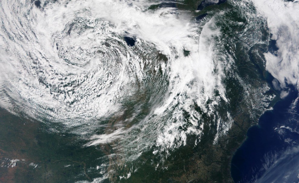
satellite image of storm system
Extra tropical low pressure storm system over the U.S. Midwest.

NASA image.

Introduction

Spinning their way across the warmer parts of the globe, tropical storms or “cyclones” disrupt the lives and change the habitat of millions of coastal dwellers (human and wildlife) each year. A cyclone refers to an area of circular or near-circular fluid motion rotating around a center of low atmospheric pressure. At 38 miles per hour (61 kilometers per hour [kph]) or less, these weather systems are referred to as “tropical depressions.” When the sustained winds of a cyclone reach 39 miles per hour (63 kph), meteorologists assign them a name. Cyclones with sustained winds of 74 miles per hour (241 kph) or greater are hurricanes, but depending on which ocean these huge weather systems are in, different names are used. In the North Atlantic Ocean, Northeast Pacific Ocean, and South Pacific Ocean, they are called “hurricanes,” but in the Northwest Pacific Ocean, they are called “typhoons.” In the Southwest Pacific Ocean or Southeast Indian Ocean, they are called “severe tropical cyclones.” In the North Indian Ocean, they are called “severe cyclonic storms.” In the Southwest Indian Ocean, they are simply “tropical cyclones.” Yet, whatever you call them, these storms are the primary drivers of coastal change.

In the oceans that touch the United States, severe tropical storms are called “hurricanes.” The word hurricane has its origins in the indigenous cultures most impacted by these storms. For example, the Mayan people named their storm god “Hunraken,” who raged in the Gulf of Mexico. Similarly the people of the Lesser Antilles Islands in the Caribbean Sea called their god of evil “Hurican.”

Other types of storms are extatropical storms and storms associated with El Niño. Although extratropical storms rarely acquire wind strengths comparable to hurricanes, their influence is often more widespread, affecting stretches of coast up to 932 miles (1,500 km) in length (National Marine Consultants 1961; Davis and Dolan 1993). El Niño and La Niña represent opposite phases of an oscillating climate pattern that irregularly shifts every two to seven years. The respective cooling and warming cycles are driven by a complex interplay among clouds and storms, regional winds, oceanic temperatures, and currents along the equatorial Pacific. Each phase triggers predicable disruptions of precipitation, temperature, and winds.


Learn More

Loading results...
     

    Last updated: June 7, 2019

    Tools

    • Site Index