NPS photo.
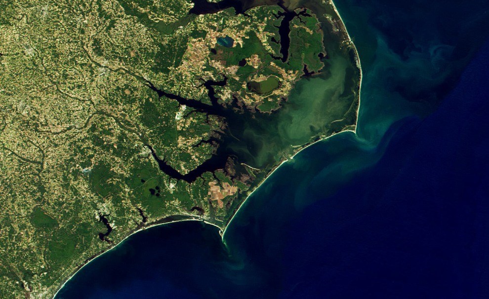
Infrastructure is a political reality for the National Park Service on the Outer Banks and must be considered in natural resource management decisions (York 2004). This is very apparent at Cape Hatteras National Seashore where infrastructure includes North Carolina Highway 12 and eight villages; on the other hand, Cape Lookout National Seashore hosts no such development. Thereby, in many ways, infrastructure drives post-storm management within these two national seashores.
The Cape Lookout National Seashore storm recovery plan highlights the NPS perspective on post-storm management in this unit (National Park Service 2009):
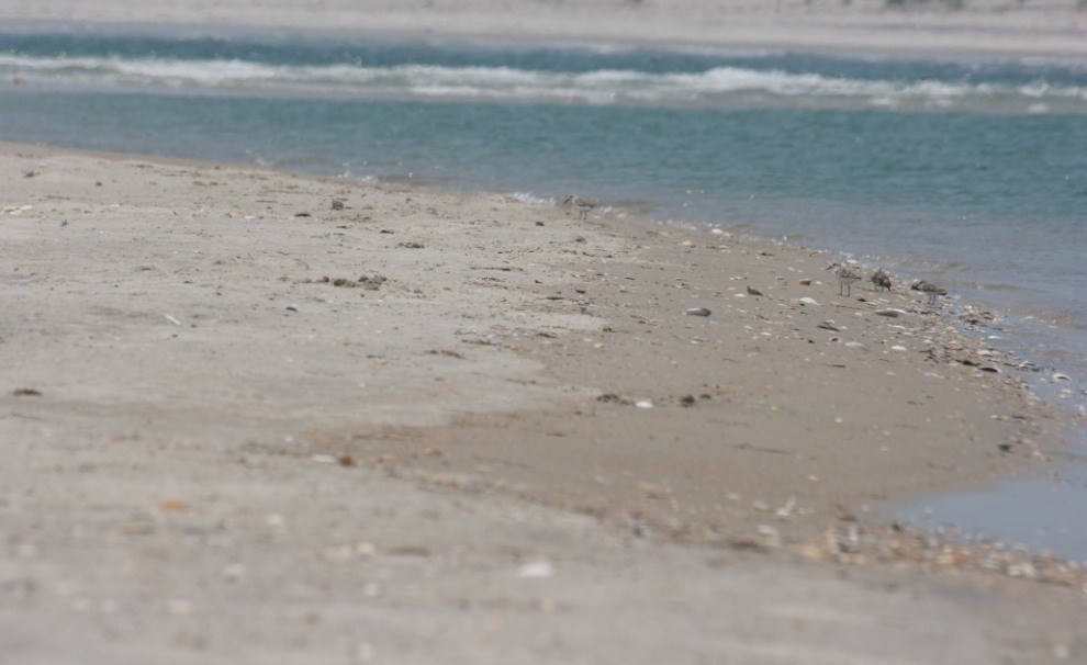
Undeveloped barrier islands can respond to storm events and need little attention. Often, new inlets will open up, sand bars will erode or accrete, and, at times, whole sections of dunes will “roll over” effectively moving that portion of the island shoreward and exposing the sound-side salt marsh to the open ocean. The [National Park Service] and staff at [Cape Lookout National Seashore] embrace the dynamic nature of this system and, in most cases, will not attempt to alter ongoing natural processes. It is only when other significant resources are damaged or in danger of being damaged as a result of erosion, for example, that an assessment of an intervention to these natural processes should be conducted. Overwash events are very common during storm events and are not typically cause for alarm or intervention. Washover fans, the resultant landforms of overwash events, are primary habitat for the endangered piping plover and provide other ecosystem services and thus should only be disturbed when no other reasonable alternative is available.

NPS photo.

NPS photo.

NPS photo.
Compare this to conclusions drawn after Hurricane Isabel in Cape Hatteras National Seashore:
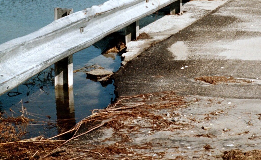
Hurricane Isabel emphasized the need for environmentally sound, long-term transportation planning along the Outer Banks. The post-Isabel restoration effort in Cape Hatteras NS consisted largely of emergency or short-term measures. Through its involvement in the Outer Banks Task Force, Cape Hatteras [National Seashore] is participating in an interagency effort to develop long-term transportation alternatives as sea-level rise and other coastal processes threaten Highway 12. The results of such collaborative planning efforts could reduce the need for restoration actions that reverse morphologic changes caused by coastal processes (i.e., by moving overwashed sand, rebuilding dunes, etc.). These coastal processes could then operate with less human interference, in a manner more consistent with natural barrier island dynamics. The transportation corridor and much of the associated infrastructure will likely remain along Cape Hatteras, but the islands’ ability to respond to rising sea level may be improved through long-term transportation planning (York 2004).

NPS photo.

NPS photo.
Although park employees in both national seashores work to protect natural resources, preserve barrier island dynamics, and provide for visitor enjoyment, the seashores differ greatly in the amount of infrastructure and thereby their management response.
Related Links
Last updated: July 16, 2019
