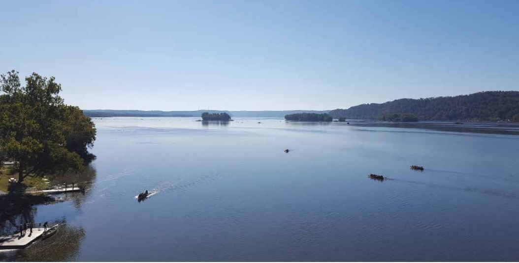
School students paddle the Susquehanna River (Allison Aubrey, Susquehanna Heritage) The planning team for the segment plan included representatives from the National Park Service Chesapeake, Maryland Department of Natural Resources, Pennsylvania Department of Conservation and Natural Resources, Lower Susquehanna Heritage Greenway, Susquehanna Heritage, Chesapeake Conservancy, and the Susquehanna Riverlands Conservation Landscape, represented by staff from the Lancaster County Conservancy and Lancaster County Planning Commission. The planning team envisioned ways to make the trail more visible and meaningful for visitors to the region. Interpretation, conservation, and public access to the water are central to the plan. Collaborative opportunities are also outlined for the three national trails present in the region: the Star-Spangled Banner National Historic Trail, Captain John Smith Chesapeake National Historic Trail, and the Washington-Rochambeau Revolutionary Route National Historic Trail. Download the plan to learn more. |
Last updated: March 15, 2024
