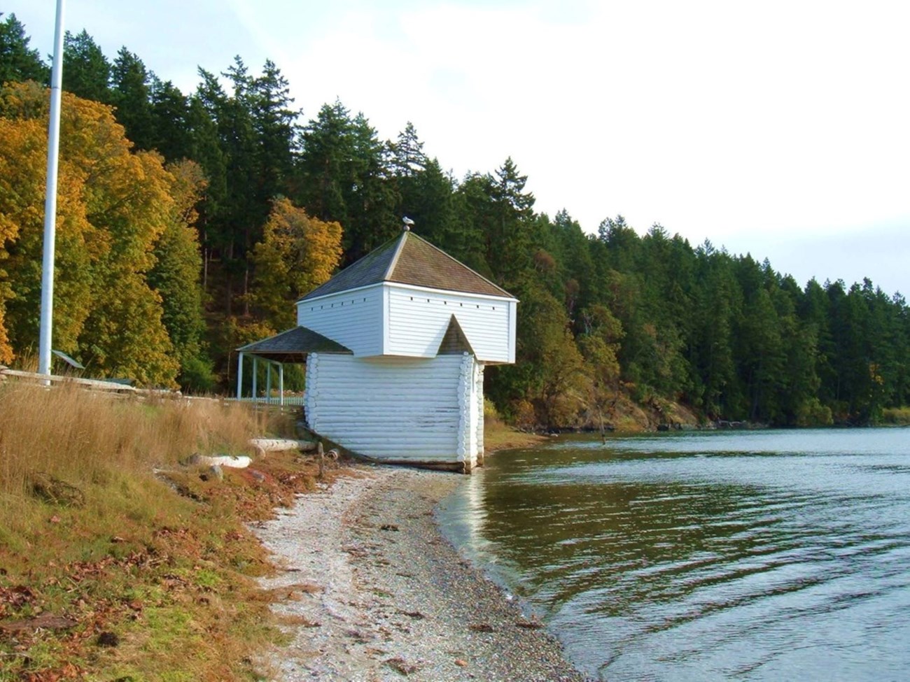
Clean, freshwater is essential for life on earth. Freshwater on San Juan Island is a finite resource, critical for plants, animals and humans. Surface waters are limited. Thus most island residents, as well as the park, rely on groundwater. Water resources in the park are limited to groundwater, wells, small springs, seeps, tidal lagoons, a small pond, intermittent streams, other wetland areas, and marine shorelines. These water resources support a variety of natural, cultural and scientific features within the national historical park. Water is critical for the natural resources of the park, supporting wildlife, plants and a variety of habitats. Even cultural resources require an adequate supply of water to maintain their character. For example, the formal English garden at English Camp requires irrigation to keep the plants healthy and vigorous during the dry summer. Other cultural landscapes would be vastly different if they did not receive adequate moisture. By far, saltwater intrusion is the primary source of groundwater quality degradation in the region, and high chloride levels are used as an indicator. Recovery to a suitable water source is a slow process once sea water has contaminated an aquifer. Acting to prevent saltwater intrusion is of utmost concern for the park, particularly at American Camp, in order to maintain an adequate freshwater supply. Little work has been conducted regarding surface water quality in the park. Salinity and conductivity were recorded during the 1998 wetland inventory, but no other water quality parameters were tested. In 1999-2000 a ‘Level 1’ Water Quality Inventory and Monitoring Synoptic Study was conducted in the park. Water samples were collected seasonally from five park locations and analyzed for constituents that could indicate possible contamination. The overall quality of groundwater and surface water was found to be good. However an elevated specific conductance/chloride concentration and an amonia: nitrate ratio at the American Camp well may indicate increasing salt water intrusion. English Camp is located in the approximate center of the 3,609 acre Westcott-Garrison bays watershed. A series of intermittent ponds, wetlands, and streams drain into Garrison Bay while two significant creeks and one, small drainage flow into Westcott Bay. This watershed was ranked third in the San Juan County Watershed Ranking Report of 1988. It was given priority because the calm, protected waters of these bays exhibit unique intertidal and marine habitats. The moderate to low wave action has allowed for the formation of extensive mudflats. These conditions are required for the growth of large eelgrass beds. The bays are also very productive sites for shellfish, and they are the primary shellfish harvest location on the island. In 2003, a dramatic decline in eelgrass beds in Wescott and Garrison bays was discovered. Eelgrass is an important breeding ground for forage fish such as Pacific herring, Pacific sand lance and surf smelt. Forage fish are food for salmon, ling cod, marine mammals and sea birds. The decline and virtual disappearance of some eel grass beds cannot be explained. Land and water use can impact the quality of water in the watershed. Forested lands, which help reduce runoff, dominate the watershed with small agricultural plots scattered throughout. Livestock ore common on these 10 to 20 acre farms and the animals have direct access to streams and adjacent riparian land. The average lot along the shoreline of Westcott Bay and the western edge of Garrison Bay is one-half to two acres in size, and the development potential has nearly been reached. Several failing septic systems have been identified in the watershed, and a program has been established to repair them. The calm waters of the bays are an ideal location for boating gatherings. Boaters must drop anchor, which disturbs the marine floor. Because the shoreline directly affects the estuarine region of these water bodies, higher density housing and increased activity pose significant impacts on the ecosystems associated with the bays. In 1997 and 1998, water quality testing of sites within the watershed indicated that runoff events are the likely cause of bacterial pollution entering creeks and the bays. Areas with little vegetative diversity, primarily occurring on agricultural lands, as well as the upper reaches of the watershed, have a high potential for erosion and runoff. Wetlands occur throughout the watershed where the soil is inadequately drained, and they help mitigate the effects of runoff by collecting and filtering water. The land and water resources protected at English Camp are important for the quality of water and habitat found in this watershed. Wetlands and saltwater marshes are preserved, and development will not occur along the park’s shoreline. A watershed has not been defined at American Camp. However, water tends to flow radially from higher elevations toward the coastline. This premise can be applied to the slopes of Mt. Finlayson. Problems associated with runoff are not as great at American Camp for two reasons. The slopes of Mt. Finlayson are not as steep as Mt. Young and the geology and soils occurring along the southern portion of the island allow for greater water infiltration. However, runoff is escalated due to the presence of invasive species. Overall, marine water quality in both park units is relatively high. Marine waters surrounding the islands are typically of high water quality and are rated class AA. Located at the intersection of the Strait of Juan de Fuca and the Strait of Georgia, these waters are well flushed by the strong tidal currents flowing in from the Pacific Ocean. However, little mixing occurs with enclosed inlets and bays, making them susceptible to bacterial, nutrient and sediment loading particularly when anthropogenic inputs are a factor. Westcott and Garrison bays are protected bays that are poorly flushed. A 2000 water quality survey of a site located in Garrison Bay off the shore of the parade ground at English Camp met Class AA standards for fecal coliform and pH, and Class A standards for temperature and dissolved oxygen. While the marine water and associated ecosystems, generally, are of high quality in the San Juans, many groups, organizations, and government agencies, including the NHP, are proactively working toward studying, preserving and restoring the resources of the marine waters surrounding the islands. Oil spills represent another ongoing threat to water quality and the quality of life in the San Juans. A thriving international shipping industry traverses Haro Strait off the west side of San Juan Island,
|
Last updated: November 13, 2022