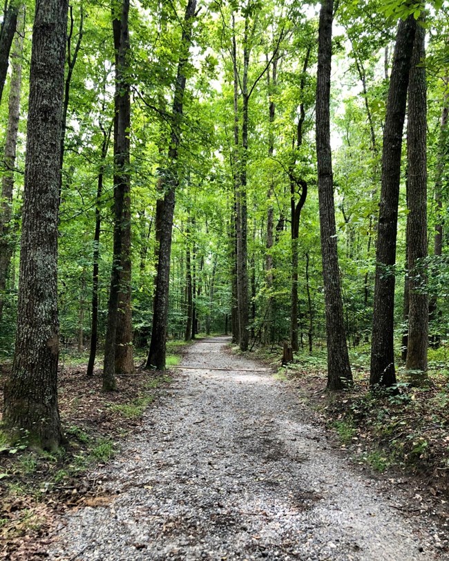
While enjoying our trails, you'll notice wooden markers posted approximately every quarter of a mile along the route. These are designed to help you identify where you are in the event of an emergency situation. Markers are color-coded to match the designated trail and have a letter indicating your location on the trail.
|

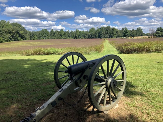
NPS Photo. Trails The park has several trails spread out among its 13 units that are ideal for hiking, running or walking your dog. These trails combine enjoyment of nature with sites of Civil War history. Biking is permitted ONLY on the Totoptomoy Creek trail (as well as most park roads). Please keep dogs on leashes and carry out pet waste. Visitors can find these trails using our Address List for park sites. Gaines' MillThe Gaines' Mill battlefield has two connected loop trails where visitors can hike through historic hardwood forest overlooking Boatswain creek. Although the wooden barricades used by the Federal army during the battle are long gone, the historically oak-dotted slope retains many of its 1862 features. The primary walking trail (.42 miles long) gets visitors to the area where the first crack in the Union line occurred, a wedge driven through by Hood's Texas Brigade. The extended loop (.76 miles when combined with the primary loop) visits the far Union left, a monument to Alabama troops and an additional .15 mile spur trail takes hikers to an overlook pointed toward the valley of the Chickahominy River. Gaines' Mill Trail Brochure (3.47mb)
Totopotomoy CreekThe Totopotomoy Creek battlefield has a 0.56 mile long loop trail that tours the fields and gardens around the Shelton House. Highlights include two pieces of Union-built entrenchments that survive along this trail and the family cemetery just in front of the entrenchments. With its headstones for two children, the cemetery provides a jarring connection between the battle and the domestic story. Hikers can continue down a .4 mile (one way) spur trail, through some beautiful forest scenery to a foot bridge overlooking Totopotomoy Creek and associated wetlands. At this point, they have the opportunity to cross the creek and examine well defined Confederate positions on the southern slope. Totopotomoy Creek Trail Brochure (PDF 3 MB.) 
NPS Photo. Cold HarborThe trails at Cold Harbor consist of three connected loops where visitors can wander through native forest, listening to the trickle of Bloody Run creek, and learn about the site's Civil War history. The blue trail is a one-mile walk, the white trail adds an additional 1.5 miles and the yellow loop an additional 0.9 miles. These three trail segments twist through critical battlefield land. Highlights include multiple layers of original fortifications, a stop at the 2nd Connecticut Heavy Artillery monument and details on the heavy fighting that occurred in those woods on both June 1 and June 3, 1864. Cold Harbor Trail Guide (PDF 597 KB) Malvern HillThe Malvern Hill battfield has two connected loop trails that are each 1.5 miles long. For a longer hike, visitors can combine the two (approximately three miles) Malvern Hill Trails Brochure (PDF 724 KB) All areas along these trails provide excellent opportunities for bird and wildlife watching in forest, wetland and meadow habitats. Other TrailsThere are also short trails (under one mile) at Drewry's Bluff, Fort Brady, Parker's Battery and Fort Harrison. Trails within forts Harrison and Brady at the Fort Harrison unit are paved and fully wheelchair accessible. |
Last updated: February 6, 2024
