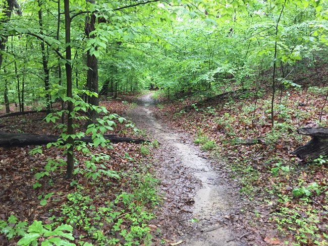
National Park Service The Crossing Trail0.5 miles, 0.8 kilometers 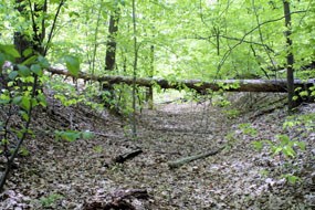
Photo credit NPS An informational sign can be found where Telegraph Road intersects the Crossing Trail, providing more information on the history of the old road. The path is marked as part of the Washington-Rochambeau National Historic Trail. 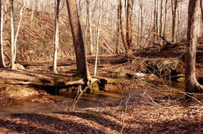
National Park Service Little Run Loop Trail0.6 miles, 1.0 kilometers Little Run Loop Trail is a short, but moderate trail that starts near the public restrooms at Turkey Run Ridge Group Campground and meets up with High Meadows Trail. The trail is blazed yellow and is perfect for a short hike with good views. The circle-like nature of this trail, and its many connections with other trails, can make it confusing. Be sure to follow the posted signs and trail blazes on your hike. 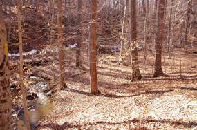
National Park Service As you descend you will come upon Turkey Run Ridge and a small tributary of South Fork Quantico Creek. As you follow the trail you will also follow a small tributary and cross over a few footbridges until you meet up with High Meadows Trail. 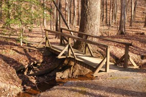
National Park Service Mary Byrd Branch Trail0.5 miles, 0.8 kilometers 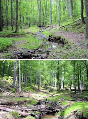
National Park Service At Mary Byrd Branch there are opportunities to see beaver activity. From the 1600s through the 1800s, there was a high demand for beaver skins, and the once-thriving population was severely diminished. In fact, beavers disappeared from the Virginia colony even before it became the Commonwealth of Virginia. Soon, beavers became extirpated (extinct from an area) across the entire lower 48 states. In the early 1950s, two pairs of beavers were brought in and released along Mary Byrd Branch. This stream does not always maintain a heavy flow of water from year to year, so the beavers move on to other, more suitable, locations in the park. When the water level is high once again, they return. The result of the beaver activity is the creation of new fertile habitats for plants and animals. There are many stages of habitat changes brought about by beavers along this stream. As you walk along the stream, see if you can locate older pond sites by the absence of a tree canopy and an abundance of new sprouts from gnawed stumps. From here it is only a short walk up to Old Black Top Road. 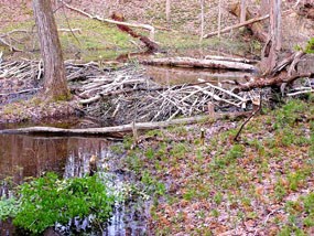
National Park SErvice Oak Ridge Trail1.6 miles, 2.6 kilometers 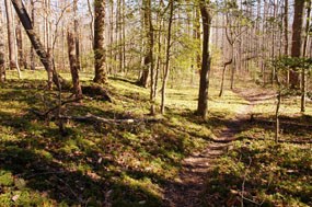
National Park Service Notice the ground cedar that covers the forest floor. Ground cedar (Lycopodium complanatum) is small, perennial plant with horizontal stems that creep along the forest floor. They grow up to a meter long with flattened, cedar-like stems. 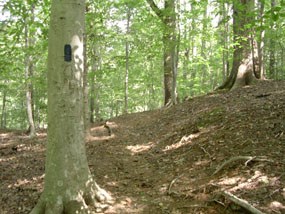
National Park Service Turkey Run Ridge Trail1.4 miles, 2.3 kilometers 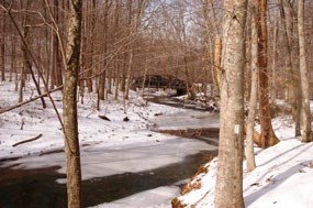
National Park Service At the end of Turkey Run Ridge Trail you will come upon a small footbridge with the South Fork Quantico Creek in front of you. Cross over the bridge to follow South Valley Trail east toward North Orenda Road and Laurel Loop Trail. |
Last updated: September 24, 2024
