



Last updated: July 2, 2026
Place
Platte River Trails
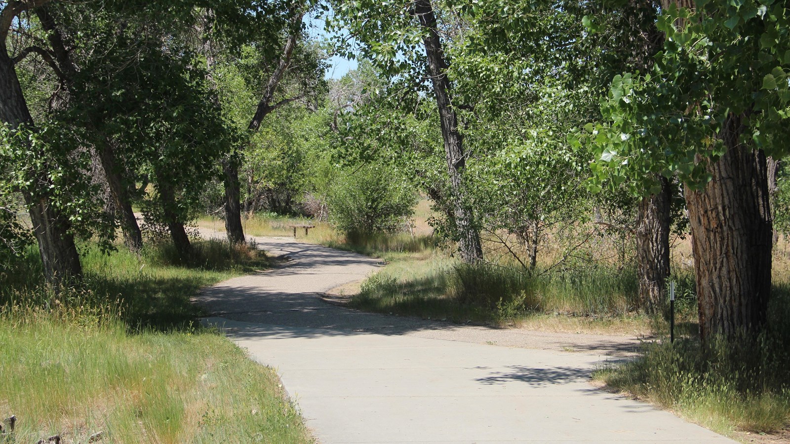
Photo/L. Kreutzer
Quick Facts
Location:
A 6-mile section of hike/bike trail begins at North Casper Sports Complex near the historical 1849 Mormon Ferry site (42.865076 -106.298237) and ends at the Fort Caspar Museum, 4001 Fort Caspar Rd. (GPS 42.835832 -106.371635).
Significance:
This 6-mile section of hike/bike trail, part of a recreational trail system in Casper, WY, passes along a stretch of the North Platte River where emigrants forded, ferried, or crossed toll bridges in the 1840s-1860s. In this area the late-departing Willie and Martin handcart companies of Latter-day Saints forded the river in October 1856, in the vicinity of today’s Wyoming Boulevard Bridge.
Designation:
Historic site on the California, Oregon, Mormon Pioneer, and Pony Express NHTs.
Amenities
15 listed
Accessible Sites, Benches/Seating, Bicycle - Rack, Bicycle - Repair, Canoe/Kayak/Small Boat Launch, Cellular Signal, Historical/Interpretive Information/Exhibits, Parking - Auto, Picnic Table, Playground, Recreational Field, Restroom, Scenic View/Photo Spot, Trash/Litter Receptacles, Water - Drinking/Potable
Overlanders of the 1840s-1860s followed the North Platte for more than 300 miles across Nebraska and eastern Wyoming, but the river curves south in the vicinity of present-day Casper, WY. To continue west, many travelers on the south side of the river crossed at the Upper Platte wagon ford and various ferries and toll bridges in the Casper area. (Some made their final crossing of the North Platte about 10 miles west at Bessemer Bend.)
Today’s visitors can hike, bike, and rollerblade the crossing corridor on a 6-mile section of the Platte River Trails System between the North Casper Sports Complex and the Fort Caspar Museum—or take a short walk along the trail while visiting those venues. First, visit https://www.platterivertrails.com to download a map of the Platte River Trails, which wind for 20 miles through the city. Be sure to check for trail closures along your route. Use of the trail is free; dogs must be leashed, and owners are asked to clean up after their pets. Along the trail are playgrounds, a bike repair station, picnic areas, water stops, and more.
To begin your adventure, take I-25 to Exit 186 and turn north on Brian Stock Trail. Park at the second parking lot past K St, on the west side of Bryan Stock Trail just before the river bridge. Walk, bike, or skate the trail through the sports park for .4 mile and cross to the north side of the river on the pedestrian bridge. Go left. An overlook (0.0 mile marker) with a shelter and picnic area lies about a mile west of the bridge, at the highest point on the hike/bike trail. That mile of the recreation trail from the bridge to the overlook aligns closely with the Oregon and California national historic trails and passes the 1849 Mormon Ferry locale.
At F St, the trail crosses to the south side of the river and continues to 1st St, where it crosses again to the north side. Follow the trail to the south end of First Street Park and continue along the river’s north bank. Along this bend was a wagon ford where the Martin handcart company of Latter-day Saints drew their carts across the river as a winter storm struck on Oct. 19, 1856. (For more about the Martin handcart crossing, see the attached document.) Now your excursion continues along on a dedicated, off-street trail to the intersection of 1st St. and Wyoming Blvd. There, cross to the south side of the North Platte River on a highway bridge with a protected walkway. At the next intersection, Wyoming Blvd and 13th St, use the pedestrian underpass to reach Fort Caspar Rd and the museum grounds at 4001 Fort Caspar Rd.
Not up for a six-miler? For a shorter exploration, park at Fort Caspar Museum and walk east along the entrance road toward Wyoming Blvd and 13th St. Cross the intersection through the underpass and go straight to enter Patterson-Zonta Park. Continue east along the walkway for about 200 yards for a close view of the North Platte River—the handcart ford was just around the bend—before returning to the museum.
Site Information
Location (A 6-mile section of hike/bike trail begins at North Casper Sports Complex near the historical 1849 Mormon Ferry site (42.865076 -106.298237) and ends at the Fort Caspar Museum, 4001 Fort Caspar Rd. (GPS 42.835832 -106.371635).)