Last updated: May 21, 2021
Place
Fort Kaskaskia State Historic Site
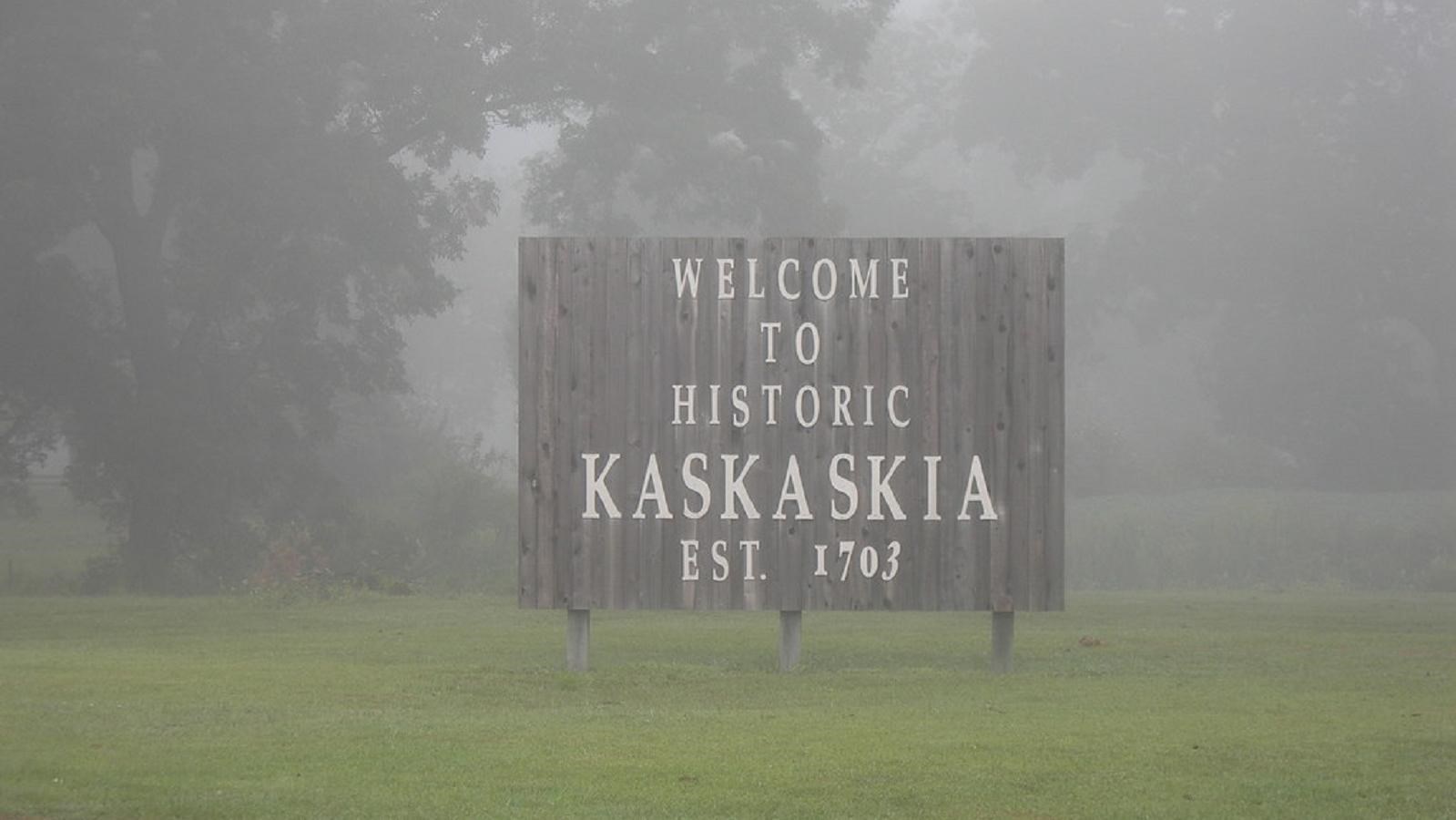
"Welcome to Kaskaskia" by jimmywayne is licensed under CC BY-NC-ND 2.0
Quick Facts
Location:
Ellis Grove, IL
Amenities
12 listed
Benches/Seating, Electrical Hookup - Boat/RV, Fire Pit, Grill, Parking - Auto, Picnic Shelter/Pavilion, Picnic Table, Playground, Scenic View/Photo Spot, Trash Dumpster, Trash/Litter Receptacles, Water - Drinking/Potable
Lewis and Clark NHT Visitor Centers and Museums
This map shows a range of features associated with the Lewis and Clark National Historic Trail, which commemorates the 1803-1806 Lewis and Clark Expedition. The trail spans a large portion of the North American continent, from the Ohio River in Pittsburgh, Pennsylvania, to the mouth of the Columbia River in Oregon and Washington. The trail is comprised of the historic route of the Lewis and Clark Expedition, an auto tour route, high potential historic sites (shown in black), visitor centers (shown in orange), and pivotal places (shown in green). These features can be selected on the map to reveal additional information. Also shown is a base map displaying state boundaries, cities, rivers, and highways. The map conveys how a significant area of the North American continent was traversed by the Lewis and Clark Expedition and indicates the many places where visitors can learn about their journey and experience the landscape through which they traveled.
Located at the confluence of the Mississippi and Kaskaskia rivers, Fort Kaskaskia State Historic Site is an ideal place for campers along the Lewis & Clark National Historic Trail. Dating back to French settlements in the 1700s, Fort Kaskaskia later served as the site where, in 1803, the Corps of Discovery picked up an additional eleven men for its expedition. The Corps also took time to brush up on scientific readings around the region and gather supplies.
Today, visitors will find scenic overlooks of the Mississippi River and can visit the earthwork remains of Fort Kaskaskia. Garrison Hill Cemetery, established in 1891, is also within the site grounds. This special cemetery was established for the gravesites of early settlers whose original resting places were under threat from flood waters in the late 19th century. The Mississippi River overlook includes nearby tables and a pavilion for picnics. At the bottom of the bluff is a path that takes visitors to the historic Pierre Menard Home, built around 1815. This well preserved and beautiful site is named in honor of its builder, Pierre Menard, who served in the Illinois legislature and was a fur trader and businessman.
For tent campers, there are both primitive and 32 electric-hookup campsites. Water is also available at select locations. Fire pits are located at each site. Two playgrounds are also available in the day-use area. The park is open year around for campers and visitors. For more information and for campsite availability, call (618) 859-3741.