Last updated: February 4, 2025
Place
Feeder Canal and the South Channel

NPS/J. Irving
Quick Facts
Location:
Cockspur Island
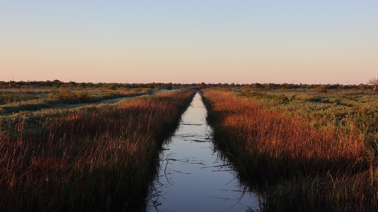
The feeder canal is part of a network of dikes and drainage canals that were essential to the engineering plan for the island. Cockspur Island is engineered land. It has been manipulated by Army Engineers and the hard labor of those enslaved at the site, to form a semi-solid body of land, suitable for construction of a heavy masonry fort.
Prior to this man-made manipulation, Cockspur Island was essentially a muddy, salt marsh island with a few sandy high spots and almost no trees. At one time it was called Peeper Island because it only peeped out during low tide.
Strategically, it was the best spot to place a fort which would protect the vital port of Savannah. From Cockspur Island, both the North and South channels of the Savannah River could be guarded against any potential enemy naval force. So, the Army made it work, through the design of dikes and drainage.
The preliminary design for the extensive dike and drainage system was primarily that of 2nd Lieutenant Robert E. Lee. An often under told aspect of our story is that Lee also relied on the expertise of enslaved workers on the project. Many of them had extensive experience constructing dikes and drainage systems for the rice fields which were prevalent throughout coastal Georgia and South Carolina.
This feeder canal, which leads to the South channel of the Savannah River, is the only canal that feeds the moat. During construction, heavy materials like bricks and lumber were floated on barges from the Savannah River, through the feeder canal, in order to move them as close to the construction site as possible.
The most interesting use of the feeder canal is that it served to flush raw sewage from the moat into the Savannah River. That was all part of the original design. The West Point engineers decided to let the tide do the work. All the sewage from the fort went into the moat. When the tide went out, the sewage left with it, eventually making its way to the Atlantic. The moat would be filled with fresh water when the next high tide came in.
-
Feeder Canal Ranger Talk
Listen to a park ranger talk about this tour stop.
- Credit / Author:
- NPS/Niles
- Date created:
- 07/01/2020
