Last updated: October 16, 2020
Place
Alice Creek Historic District

Parking - Auto, Scenic View/Photo Spot, Trailhead
Lewis and Clark NHT Visitor Centers and Museums
This map shows a range of features associated with the Lewis and Clark National Historic Trail, which commemorates the 1803-1806 Lewis and Clark Expedition. The trail spans a large portion of the North American continent, from the Ohio River in Pittsburgh, Pennsylvania, to the mouth of the Columbia River in Oregon and Washington. The trail is comprised of the historic route of the Lewis and Clark Expedition, an auto tour route, high potential historic sites (shown in black), visitor centers (shown in orange), and pivotal places (shown in green). These features can be selected on the map to reveal additional information. Also shown is a base map displaying state boundaries, cities, rivers, and highways. The map conveys how a significant area of the North American continent was traversed by the Lewis and Clark Expedition and indicates the many places where visitors can learn about their journey and experience the landscape through which they traveled.
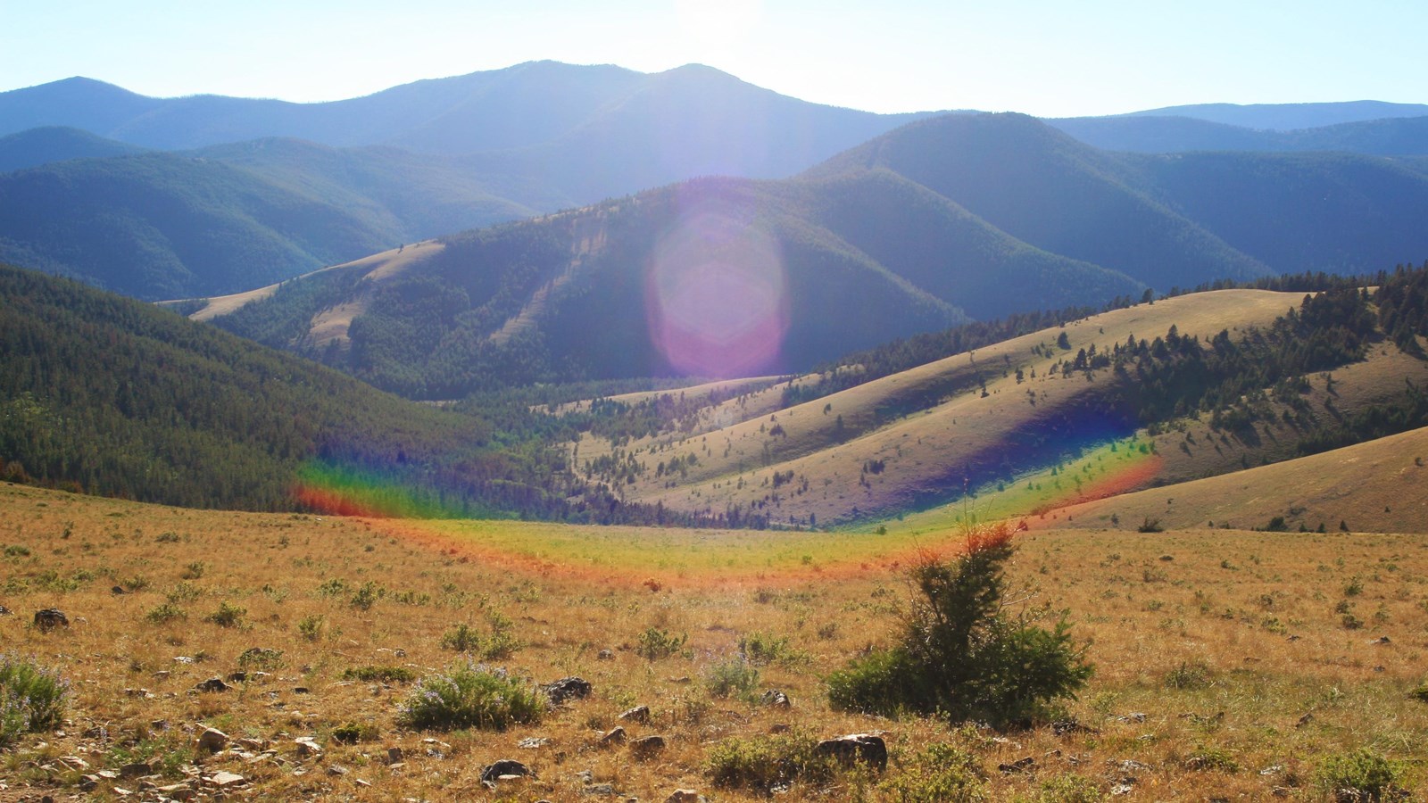
After departing Travellers Rest on the return journey, Lewis and his detachment followed the Cokahlarishkit Trail, or “Road to the Buffalo,” to cross the Continental Divide. The trail, which had been identified to Lewis and Clark by the Nez Perce, had long been an established transportation corridor for American Indians. On July 7, 1806, they passed through the Alice Creek drainage. Lewis described “much appearance of beaver many dams” and noted that the “bottoms not wide and covered with low willow and grass.” They continued “up the same creek on the east side through a handsome narrow plain” and across “the dividing ridge betwen the waters of the Columbia and Missouri rivers.” Looking east, Lewis recognized the familiar landmark of “Fort Mountain” (Square Butte), and estimated it to be “distant about 20 Miles.”
Located within the Helena National Forest, the Alice Creek Historic District still evokes the 1806 landscape experienced by Lewis despite minimal impacts from cattle grazing. Remnants of the Cokahlarishkit Trail remain intact, with features such as rock cairns, marked trees, and travois ruts. The historic district encompasses both public and private lands. While public access is restricted from the privately owned portions, visitors are afforded a wide range of outdoor recreational opportunities within the national forest property. It includes a hiking trail to Lewis and Clark Pass and the Continental Divide Trail.
