



Last updated: August 21, 2026
Place
Lock 30
NPS/Arrye Rosser
Quick Facts
Location:
Park at Lock 29 Trailhead, 1648 Mill Street, Peninsula, Ohio 44264. Walk north on the Towpath Trail.
Significance:
This lock is part of the Ohio & Erie Canal Historic District. When the canal was in operation, the section between Lock 29 and Lock 30 in Peninsula was especially prone to water level issues. Sometimes it flooded. Sometimes boats got stuck due to low water or excess weight. The nearby Peninsula Feeder helped with water regulation.
Designation:
Peninsula Village Historic District; Ohio to Erie Trail; Ohio & Erie Canalway National Heritage Area; Ohio and Erie Canal District
Amenities
3 listed
Audio Description, Historical/Interpretive Information/Exhibits, Wheelchair Accessible
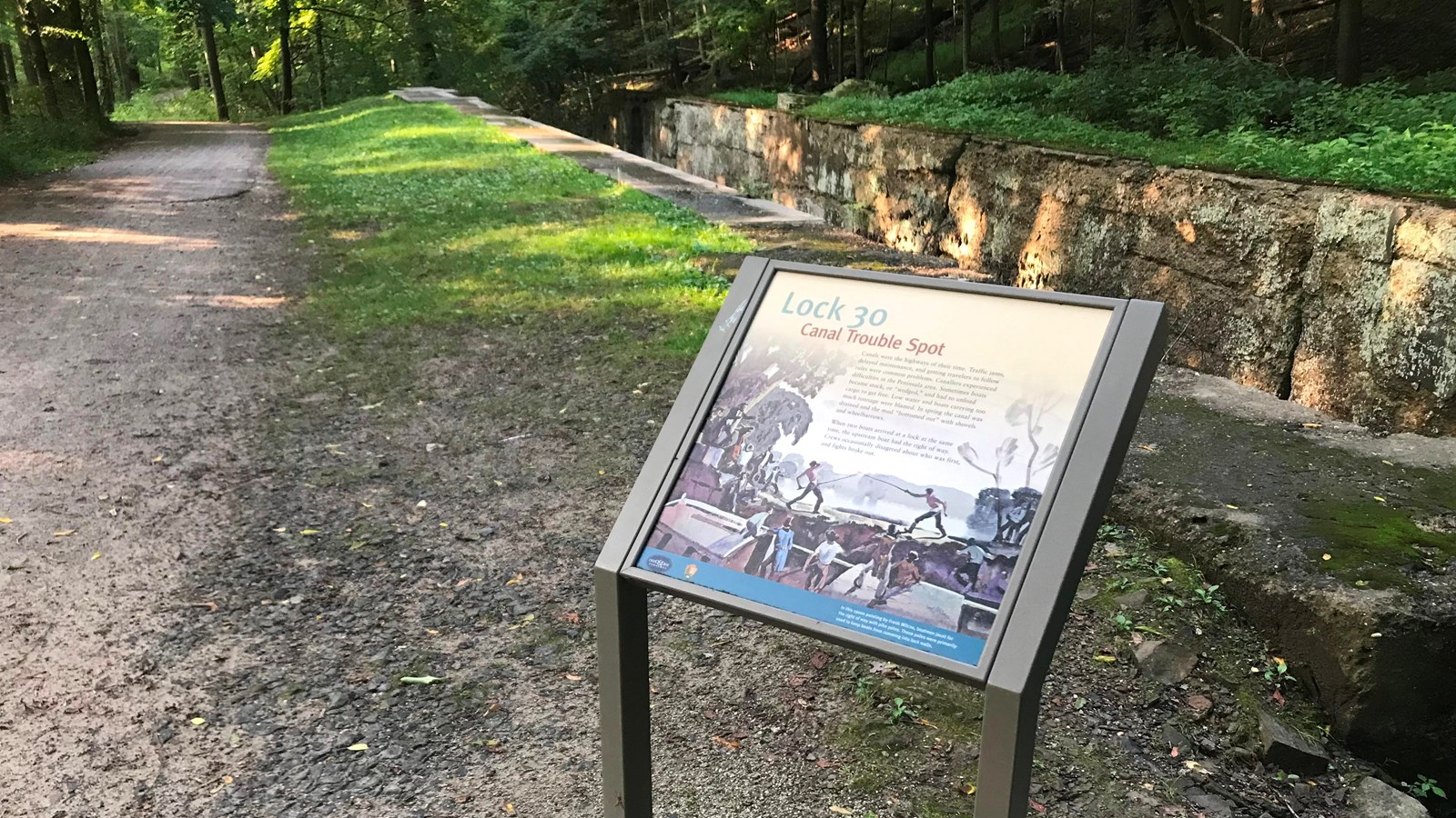
During the Canal Era, locks were built wherever the land changed in elevation and boats needed to be raised or lowered. Canals served as the highways of their time. As with today’s highways, there could be traffic jams, breakdowns, and “road rage.” The panel here explores how this section of the Ohio & Erie Canal between Lock 29 and Lock 30 was especially troublesome.
The aqueduct and bend at Lock 29, just south of here on the Towpath Trail, could cause canal traffic to backup. Some boats pulled into Stumpy Basin, just north of here, to wait for their turn to load or unload.
Canal boats sometimes became stuck or “wedged,” especially in this area. Perhaps, the boat was carrying too much weight, causing it to ride low in the water. In other cases, the water might be too shallow because of poor canal maintenance or too little rainfall. Canals could leak or get filled with sediment. Regular maintenance required the canal to be drained and the mud “bottomed out” (flattened or removed) with shovels and wheelbarrows. When a boat got wedged, it had to be unloaded, unstuck, and reloaded—causing an unwanted delay.
Traffic lights did not exist during the Canal Era. When two boats arrived at a lock at the same, the boat going upstream had the right of way. Even then, people wanted to get through quickly, and crews might disagree about who should go first. As a result, sometimes an impromptu jousting match with poles might entertain those nearby. Occasionally a sore loser might continue the fight even after a swim in the canal.
Before you leave this area, see the remnants of the Peninsula Feeder. To learn more about locks, continue south to Lock 29 which has multiple exhibits or north to Lock 31.
The aqueduct and bend at Lock 29, just south of here on the Towpath Trail, could cause canal traffic to backup. Some boats pulled into Stumpy Basin, just north of here, to wait for their turn to load or unload.
Canal boats sometimes became stuck or “wedged,” especially in this area. Perhaps, the boat was carrying too much weight, causing it to ride low in the water. In other cases, the water might be too shallow because of poor canal maintenance or too little rainfall. Canals could leak or get filled with sediment. Regular maintenance required the canal to be drained and the mud “bottomed out” (flattened or removed) with shovels and wheelbarrows. When a boat got wedged, it had to be unloaded, unstuck, and reloaded—causing an unwanted delay.
Traffic lights did not exist during the Canal Era. When two boats arrived at a lock at the same, the boat going upstream had the right of way. Even then, people wanted to get through quickly, and crews might disagree about who should go first. As a result, sometimes an impromptu jousting match with poles might entertain those nearby. Occasionally a sore loser might continue the fight even after a swim in the canal.
Before you leave this area, see the remnants of the Peninsula Feeder. To learn more about locks, continue south to Lock 29 which has multiple exhibits or north to Lock 31.