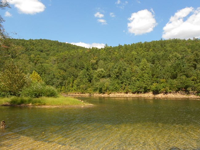
NPS Located on the boundary of DeKalb and Cherokee Counties, in the rugged yet verdant landscape of northeast Alabama, Little River Canyon National Preserve (the preserve) was established in 1992 by Public Law 102-427 to protect the landscapes of the Little River Canyon. The authorized boundary of the preserve currently contains 15,288 acres, 11,042 acres of which are federally owned and managed. Protected within the preserve boundary are the spectacular Little River Canyon, the pristine Little River, and a number of rare and threatened plant and animal species. Together with the adjacent Desoto State Park, Little River Canyon National Preserve provides abundant scenic views and varied recreational opportunities for locals and visitors alike. The sculptor of this canyon is the Little River, which is notable for flowing for most of its length atop a mountain as well as for possessing very high water quality. The river flows from its headwaters in northwestern Georgia to Weiss Lake in a mostly unimpaired manner. To protect this water quality, scenic, recreational, and fish and wildlife values over time, the Little River and its tributaries receive the protections afforded under section 7(a) of the Wild and Scenic Rivers Act and are also designated as Outstanding National Resource Waters by the state of Alabama. Little River Canyon is home to an unusually diverse set of plant and animal species, owing to its location at the confluence of the Cumberland Plateau and Gulf Coastal Plain physiographic regions, as well as a number of different microhabitats created by the rugged physical features of the canyon. Some species found in the preserve are notable for their limited geographic distribution, such as the Kral's water-plantain (Sagittaria secundifolia), while others such as the green pitcher plant (Sarracenia oreophila) are listed as federally endangered. The preserve offers a diverse range of recreational opportunities, including swimming, fishing, climbing, and world-class whitewater paddling, with the latter reaching peak season in winter and spring. Canyon Rim Drive (Alabama State Road 176) hugs the west rim of Little River Canyon, offering scenic drives and connecting a series of overlooks that offer views into the canyon, and Cherokee County Road 275 continues along the west rim down to the canyon mouth. Hunting and trapping are permitted by legislation within the preserve, and these activities are managed by the National Park Service in cooperation with the Alabama Department of Conservation and Natural Resources. FUNDAMENTAL RESOURCES and VALUES
|
Last updated: September 30, 2016
