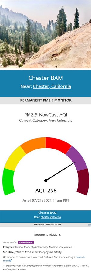

NPS/Catherine Orland and Airnow.gov Wildfire Smoke and Air QualityAir quality in the park can change from hour to hour during wildfire season. Park staff is not able to predict air quality for your trip. We encourage you to use the resources below to view current conditions and forecasts. Air Quality Indicator (AQI)The best indicator of air quality related to wildfire smoke is particle pollution level. This measurement is often displayed as: Particles (PM2.5). This represents the concentration of fine particles in the air that are 2.5 micrometers or smaller (these can only be seen with a microscope). The US Air Index includes six levels of air quality and related recommendations for outdoor activity for everyone and sensitive groups. Resources for Current Air Quality in and around the Park
Smoke ImpactsView California Smoke Information or Fire-related Air Conditions During summer, smoke from wildfires in and around Lassen can degrade park air quality. Fires and related smoke impacts can continue to occur in the fall and sometimes as late as December in a dry year. The park and its features and facilities rarely close for smoke impacts. However, visitors are are encouraged to view Air Quality Indicators in and around the park and consider suggested precautions for outdoor activity. Smoke and Your HealthWhen wildfires create smoky conditions, there are things you can do, indoors and out, to reduce your exposure to smoke. Reducing exposure is important for everyone’s health — especially children, older adults, and people with heart or lung disease. Learn more about: Air Quality MonitoringLassen Volcanic National Park is a Class I airshed, which receives the highest level of protection under the law. Lassen participates in four air quality monitoring networks (CASTNET, IMPROVE, NADP/NTN, GPMP). Park scientists visit air quality monitoring stations in the Manzanita Lake Area once a week to prepare rain or snow samples for the lab, change filters, and check the conditions of sensors. Learn more about air quality in the park here. VisibilityVisibility is our ability to clearly see color and detail in distant views. Haze results from air pollutants, such as fine particles that absorb and scatter sunlight. Some haze occurs naturally due to dust, fog, and wildfire smoke. Unnatural haze is caused by air pollution from industry and motor vehicles. Visibility has improved at Lassen since monitoring began in the late 1980s. The clearest days have become clearer. In the last decade, the haziest days have become slightly less hazy. The estimated visual range on mid-range days was about 175 miles. |
Last updated: August 3, 2021
