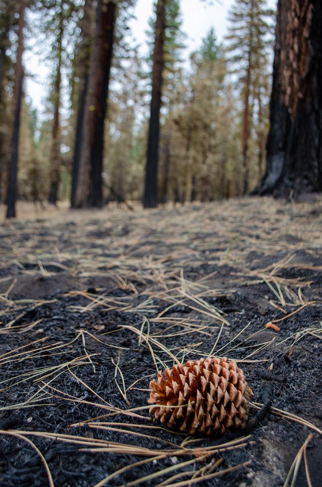
NPS After a wildfire, the burned landscape is assessed to determine if there are post-fire threats from flash floods and debris flows. Critical natural and cultural resources are also assessed for threats from erosion, invasive species, or loss of critical habitat. There are three components of post-fire response following wildfires on federal lands fire suppression repair; emergency stabilization; and long-term recovery and restoration. Post Dixie-Fire ResponseHazard Tree Removal ProjectCrews are removing hazard trees burned from the park highway and Warner Valley and Juniper Lake Areas as part of the 2021 Dixie Fire Burned Area Emergency Response (BAER). Hazard trees pose a threat to safety or infrastructure and are identified by a blue paint mark. This project will be completed through a partnership with Mooretown Forestry fall 2022 through 2023. Work will begin at the Southwest Walk-in Campground and Drakesbad Guest Ranch. Once hazard trees are removed, other crews will continue work to repair or rehabilitate these areas for re-opening. Work in the Juniper Lake is anticipated to begin in 2023. 
Three Components of Post-Fire ResponseFire Suppression RepairThis includes a series of immediate post-fire actions taken to repair damages and minimize potential soil erosion and impacts resulting from fire suppression activities and usually begins before the fire is contained, and before the demobilization of an Incident Management Team. This work repairs the hand and dozer fire lines, roads, trails, staging areas, safety zones, and drop points used during fire suppression efforts. Emergency Stabilization-Burned Area Emergency Response (BAER)This includes a rapid assessment of burned areas by a BAER team to identify imminent post-wildfire threats to human life and safety, property, and critical natural or cultural resources as well as recommendation of emergency stabilization measures. Long-Term Recovery and RestorationThis process utilizes non-emergency actions to improve fire-damaged lands that are unlikely to recover naturally and to repair or replace facilities damaged by the fire that are not critical to life and safety. This phase may include restoring burned habitat, reforestation, other planting or seeding, monitoring fire effects, replacing burned fences, interpreting cultural sites, treating noxious weed infestations, and installing interpretive signs. The Department of Interior Burned Area Rehabilitation (BAR) program provides one source of funding for non-emergency post-fire rehabilitation and vegetation restoration projects. 
NPS Dixie Fire Recovery Updates and AccomplishmentsRepair and rehabilitation work progressed in 2022. Park staff plan to continue recovery efforts throughout 2023. Currently, management teams have successfully accomplished:
|
Last updated: April 3, 2023
