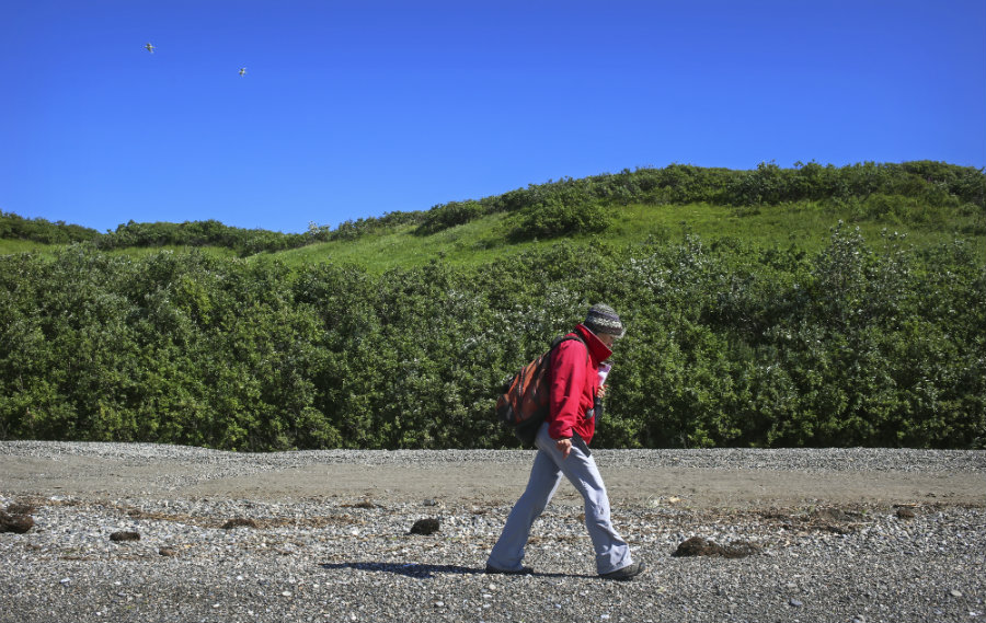
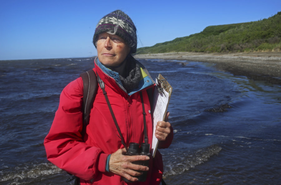
Randy Meyers walks along her designated section of beach, LaVonne's Beach, to survey the area for dead seabirds on July 18, 2016. NPS Photo/Emily Mesner
As her eyes scan the rocks over and over along the two-mile stretch of rocky beach, Randy pauses and quickly bends down to get a closer look. “Oh, look at this!” she says with excitement. After nearly three hours of scanning the beach, Randy has found a tagged wing of an immature black-legged kittiwake seabird. The wing has clung onto the beach for one full year, defying all odds against the strong winds and harsh climate. For Randy Meyers, avid birder, this isn’t just a stroll on the beach; this is adding to history and helping to write the story of changing life on the shoreline.
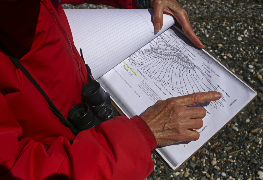
Randy Meyers points to a diagram of a bird wing as she explains how she takes measurements of the dead seabirds during her survey. NPS Photo/Emily Mesner
Randy Meyers is a volunteer with the Coastal Observation and Seabird Survey Team, COASST. Meyers was given a two-mile stretch of beach along the Kotzebue Sound from friend and former COASST member, Charlotte Westing. The beach was passed down to Meyers in hopes that the land would continue to be surveyed. “I think that within the COASST community there is that feeling of ownership and caring that you have started a data stream to the University of Washington and you want to keep it up, you want the data to continue to be collected and add to the story,” said Meyers. “I didn’t want this beach to go unsurveyed so I volunteered to do it,” she added.
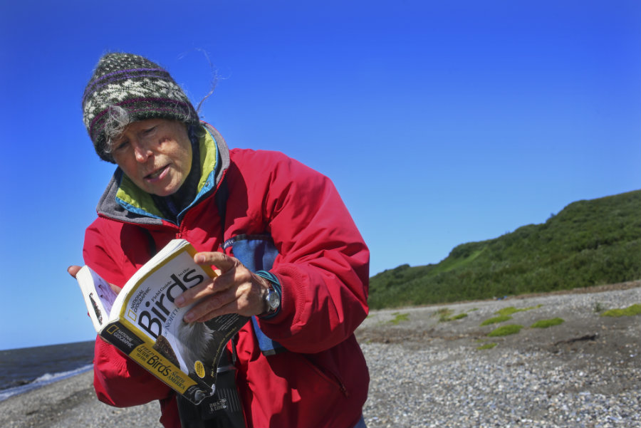
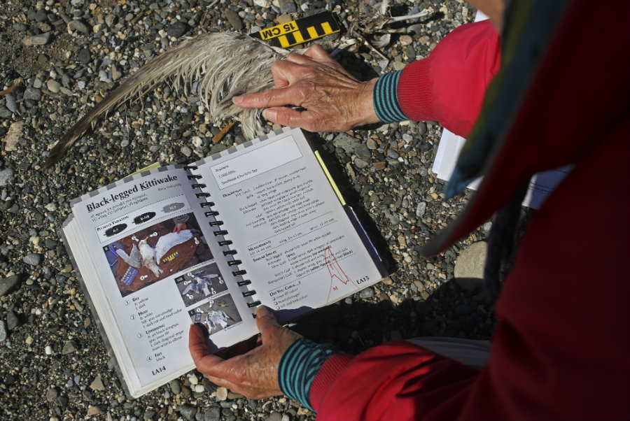
Randy Meyers scans her National Geographic, "Birds of North America" book as she looks for bird species commonly found along her stretch of beach. NPS Photo/Emily Mesner
COASST is a ‘rigorous citizen science project’, established in 1999, whose mission is to monitor marine ecosystem health in hopes of using that data to create effective conservation solutions. Meyers is grateful for the opportunity COASST has given her, stating, “The birds that you find dead may not have a head or feet, they may be very worn, so it’s hard to tell [what they are]. I knew that with COASST, now when I find a dead bird, they’ll give me the tools and that I’ll be able to figure it out.”
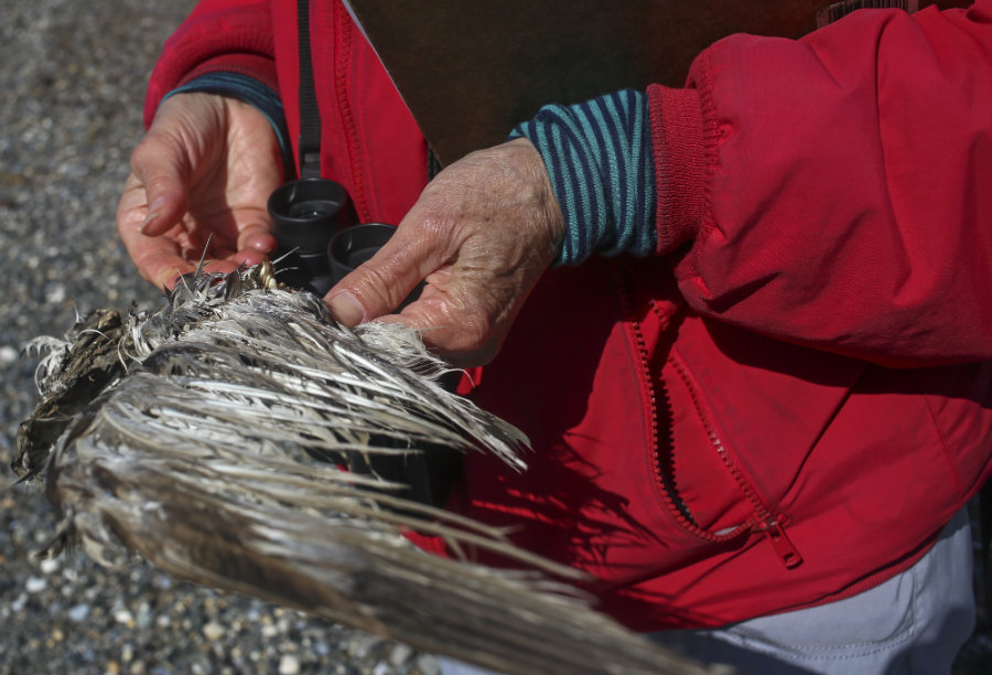
The bird wing pictured here remained on the beach for one full year allowing Randy Meyers to further document the condition and record measurements. NPS Photo/Emily Mesner
As well as the Saddie Creek and LaVonne stretch of beaches, Meyers also surveys a two mile stretch on Church Rock Beach, located on the northeast shore of the Seward Peninsula. She surveys her stretches of beach once a month from May through October, looking for dead seabirds along the coast, estimating that there are at least 12 different species along the Kotzebue shores.
As she records information from the wing, Meyers concludes that this wing was from an immature black-legged kittiwake, comparing measurements of the wing, color, and size to other species of birds. NPS Photo/Emily Mesner
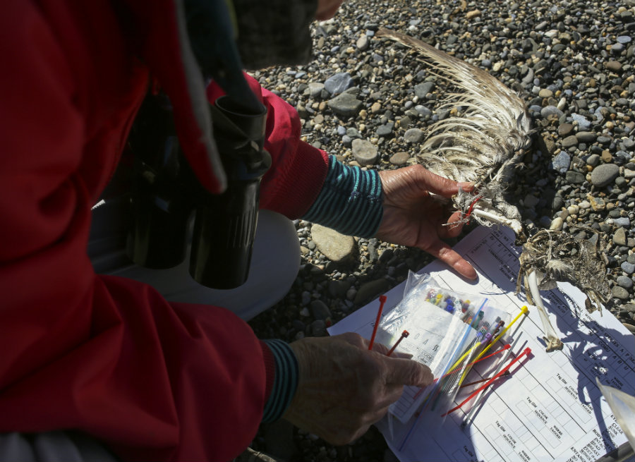
There is a rigorous tagging process once a bird is found. If the bird has not already been tagged, Meyers must tag the birds using color-coded plastic cable ties, which indicate what number bird she has found. These cable ties aslo determine what year they were found, who found them, and what kind of bird it was. “The numbers are unique to a beach, but they are not unique for the COASST system as a whole. Once someone knows the name of the beach and the state, then you could get any other type of information you wanted from that bird,” said Meyers. This information could include descriptive information of the bird, photographs, and measurements. Meyers has found 21 birds on the Saddie Creek and LaVonne’s stretch, combined, since starting her survey in 2013. She has also found 129 birds on the Church Rock beach, since starting the stretch in 2011.
The color coded cable ties are used as a numbering system, helping to identify and locate further information about the bird; included in this information could be age, size, and type of bird. The wing pictured here was already recorded, allowing Meyers to compare her data of the bird with the previous data found. NPS Photo/Emily Mesner
Once she records the information, Meyers will mail her findings to the University of Washington. Included in this information are measurements such as wing length, color, species, condition, age, date, location, and position of bird on the beach. This information provides a baseline of normal mortality of seabirds along this stretch of beach in Alaska, as well as beaches in Washington, Oregon, and Northern California. With this baseline, researchers are able to identify if population decrease and increase falls within a normal range for the seabirds. Not only does this information determine the health of seabirds, but it can also show the health of the ecosystem, human-caused environmental changes, and normal variation in climate and seabird population.
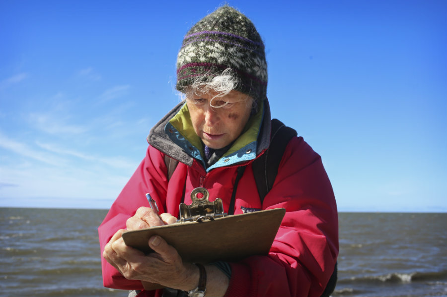
Randy Meyers records her start and end times during the survey, as well as weather and beach conditions. Meyers also records human use and interaction along the beach as part of the records she will send to the University of Washington. NPS Photo/Emily Mesner
“If you’re a birder, you’re watching birds from a distance…but for this project, you can see something in your hand and you can figure out the bird’s anatomy. It just has been fascinating to have birds that I can look at and take measurements and that I know someone wants the data and that the data is going to a productive purpose and end,” said Meyers.
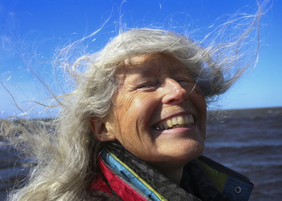
Randy Meyers laughs as she remembers some of her craziest bird stories stating, "Oh, I'd have to think about that, I have a lot!" NPS Photo/Emily Mesner
As she stands along the wind swept, rocky beaches of Kotzebue, the coastline of Cape Krusenstern National Monument rests behind her at the horizon, across the Kotzebue Sound, connecting us all.
"I've been a birder for a long time, [COASST] gave me a chance to look for birds on the beach, it was a perfect match," said Randy Meyers as she stands at the end of the Saddie Beach stretch. NPS Photo/Emily Mesner

