|
Click on the map images or on link to the right of the images to view the maps directly in your web browser. You can download the maps directly to your computer by right-clicking on the link and select "Download Linked File As..." or "Save Link As..." then choose where you would like to save the file. 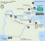
Brooks Camp: This is a map of the Brooks Camp and Brooks River area. 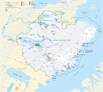
Classic Map of Katmai National Park and Preserve: This map is straight out of Katmai's official brochure. 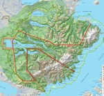
Genesis of Katmai: Katmai National Monument was established in 1918. Since then, its boundaries have been expanded and modified many times, most recently in 1980.This map shows the genesis of today's Katmai National Park and Preserve. 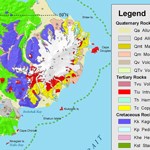
Geologic Map of Katmai: This map shows the bedrock and other geologic surface deposits in the Katmai area. 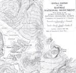
Historic Map of the Valley of Ten Thousand Smokes and Katmai River Valley: This map was first published in 1922 by the National Geographic Society. 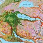
Landcover: If you want to know what plants grow where in Katmai, this map of the park shows the vegetative cover of the area. 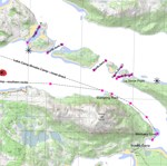
Naknek Lake Boating Guide: This map provides information on water depths, hazards, and routes on Naknek Lake. 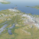
Panoramic Map of Katmai National Park and Preserve: Look west to east across the Katmai's landscape from tens of thousands of feet in the air. 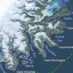
|
Last updated: March 4, 2025
