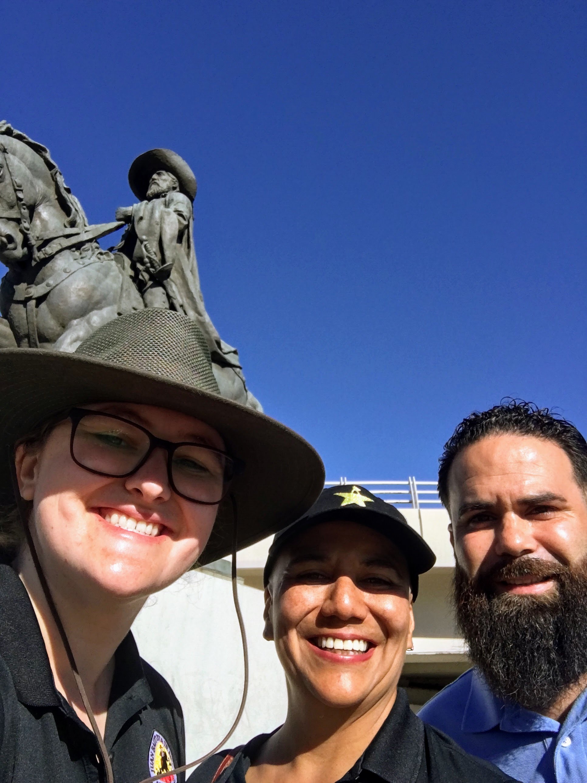
One of the most frequent questions we get on the Anza Trail is “Where is the visitor’s center?”.
Well, that’s complicated!
The Juan Bautista de Anza National Historic Trail is one of our country’s 30 national scenic and historic trails and is composed of many parts over its 1,800 corridor from San Miguel de Horcastias, Sonora, Mexico all the way to San Francisco, California. Here's a quick and basic rundown of the official components of the Anza Trail:
- The Historic Corridor is the path that we believe they followed. Remembering that the expedition was made up of 300 people and a 1,000 head of livestock, the width of the corridor changes with the topography of the landscape. In an open valley, the may have spread out and in a canyon, the expedition would’ve narrowed. On a map, the corridor is a theoretical line that overlays the modern landscape.
- The Historic Campsites are the places the expedition stayed each night. Academics, historians, and citizen historians are continuously being revised as the diaries and landscapes are re-examined. Some of these sites are protected, some are now privately held lands, and some are major thoroughfares like freeways! The NPS does work to protect the remaining landscapes of historic sites and the historic corridor so that the public can vicariously experience the landscapes the expedition travelled through.
- The Auto Tour Route follows the historic corridor on major highways in Sonora, Arizona, and California. The route is marked in California and we’re working on marking the route in Arizona. In Imperial County, the Bureau of Land Management (BLM) has developed an audio tour that follows the route!
- The Recreation Retracement Route (or Recreation Trail) follows the Anza Trail on or near the historic corridor. The multi-use trail provides the public the opportunity to experience the trail corridor, the many landscapes the expedition travelled through, and actively participate in the American experience through high quality recreation.
- Finally, there is a network of historic and interpretive sites in Arizona and California run by our trail partners that the public can visit to learn about the expedition and the legacy it leaves behind. These places share about the native people who occupied the land before colonization, the colonist families and the diversity of their backgrounds, the impacts and changes the arrival of the Spanish made to Alta California, and the natural environment of the multiple landscapes the expedition travelled through.
Any of these places provide ample opportunity to learn about the trail. Many of them host official Passport to Your National Parks cancellation stamps. Two of them, John Muir National Historic Site in Martinez, CA and Canoa Ranch Conservation Park in Green Valley, AZ, have permanent exhibits about the Anza Trail.
The Anza Trail Foundation supports an interactive webmap of the many components of the Anza Trail on their website anzahistorictrail.org. You can plan a trip, learn about the trail, and locate trail resources in unexpected places.
The Anza Trail Blog will continue to highlight trail segments and sites. For now, share with us in the comments one of your favorite trail resources, or some where you’d like to visit!
Happy Trails!

