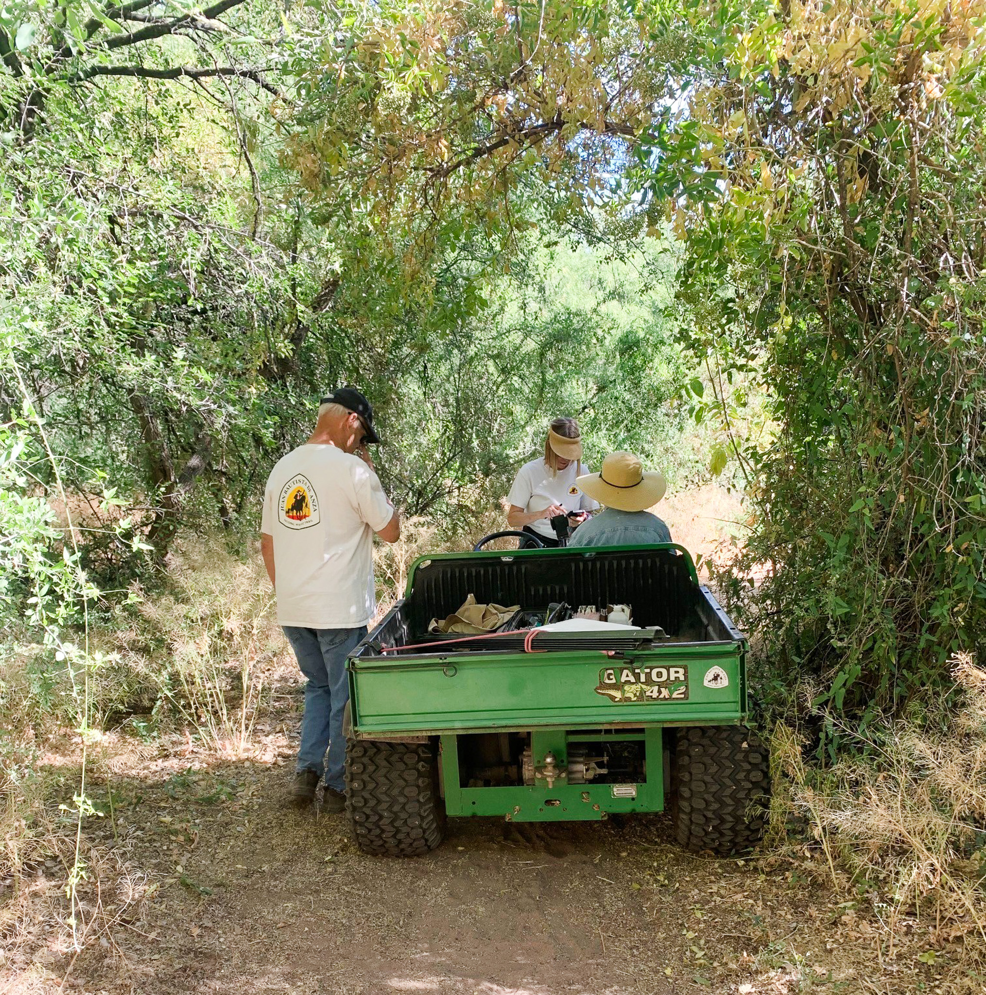
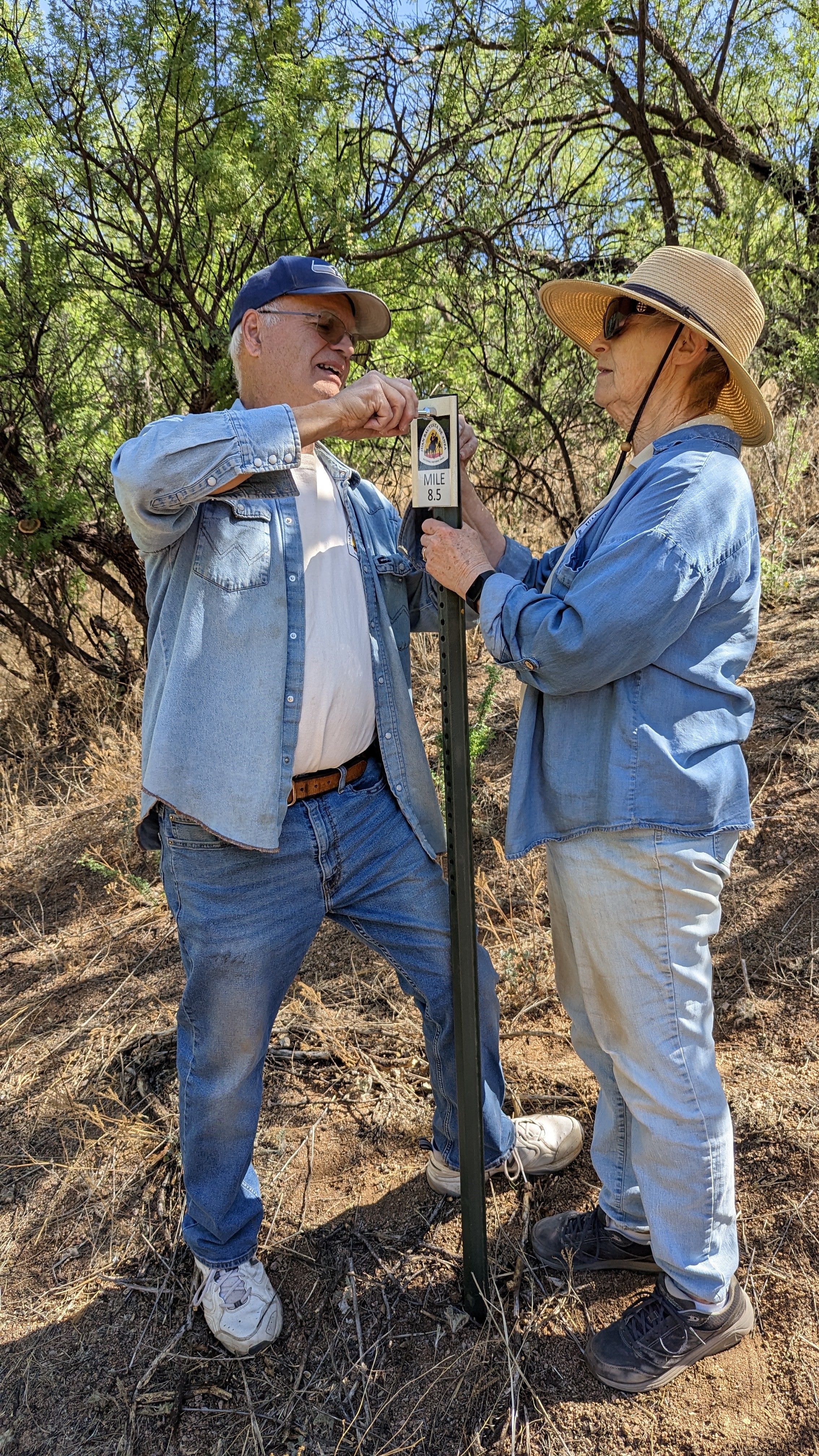
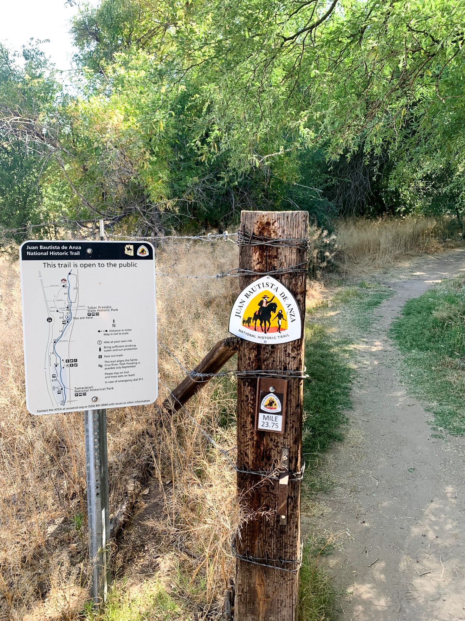
June 2024 was an exciting time for the Anza Trail Coalition of Arizona (ATCA), as they finished placing quarter-mile trail markers on the Santa Cruz County part of the Anza Trail. It all began in 2020, when ATCA board member Keith Brown brought up a concern to the board about the growing fire hazard. Keith was concerned about the trimmings that were produced by the ATCA trail crew as they worked to keep the Santa Cruz County Anza Trail section open and accessible for the last 20 years. The board recommended that Keith work with the Tubac Fire District (TFD) to see what they felt needed attention.
 Over a zoom Town Hall meeting in July 2021, the Tubac Fire District, ATCA board members, and Anza NHT representatives worked together to establish a solution. The TFD reported they'd identified areas in Tubac and Tumacacori that were priority for debris buildup removal but were more concerned about the several phone calls they had received for assistance from injured hikers. The TFD had a difficult time easily locating those who called because there were no access points or ways to determine the distance to distressed and injured hikers.

After surveying the trail from Ruby Road to the Tubac Golf Resort, Keith established a committee with his wife Judy, representatives of the TFD and other ATCA members to place mileage identifiers using existing carsonite trail markers. Mileage decals were printed, posts and hardware were purchased, and old carsonite signposts were cleaned, cut, and drilled to provide backing for the decals. From July 2022 to March of 2023, volunteers set up signposts. However, completing this project during the pandemic posed many challenges, including needing to replace the plastic flags due to a well-meaning citizen who removed them during a river clean-up project. Despite the challenges, with determination and perseverance, Keith, Judy, and other ATCA members continued on.
When the project was partially complete, the ATCA found that half-mile markers were too far apart to be noticed, so they set out to place quarter-mile distance markers. At this time, metal posts had gone up significantly in price, so it was decided to use trees as backings whenever possible. A little over four years later, the signage was completed on June 4th with the help of a cellphone app and four dedicated volunteers, led by Connie Williams. The TFD and the ATCA trail crew was given a spreadsheet of GPS coordinates, access points, trail distance numbers, and area descriptions, and has been posted on the ATCA website at https://www.anzatrail.org/trail-status/where-am-I/.

We'd like to give credit to Keith and Judy Brown who were dedicated to this project from start to finish. We'd like to thank Connie Williams for helping officialize the signage, and Jerry Behn and Kurt Martin for driving the side-by-sides through thick brush and tight places along the trail to place the signs. This project is a phenomenal example of a non-profit organization who worked humbly and diligently to best serve their community along the Anza Trail.
