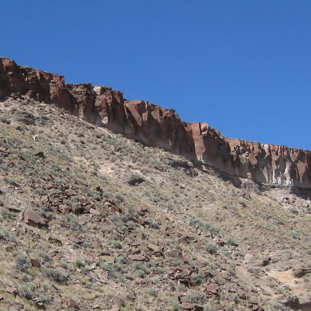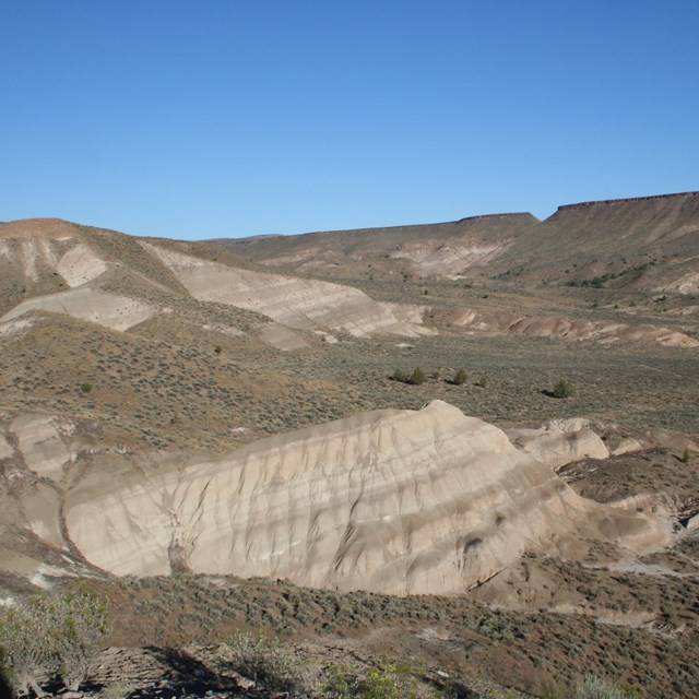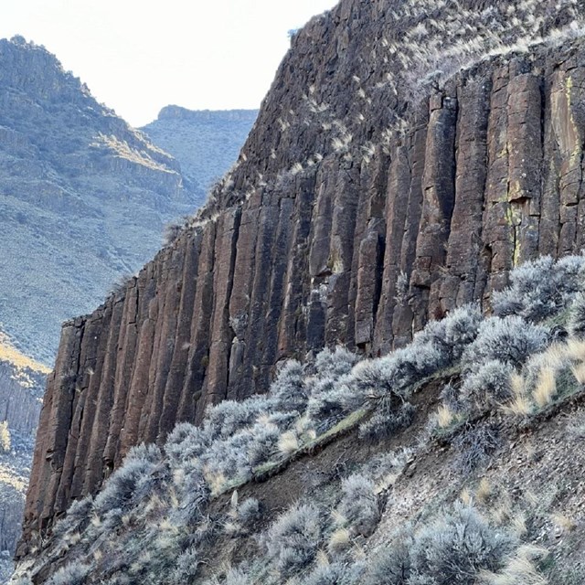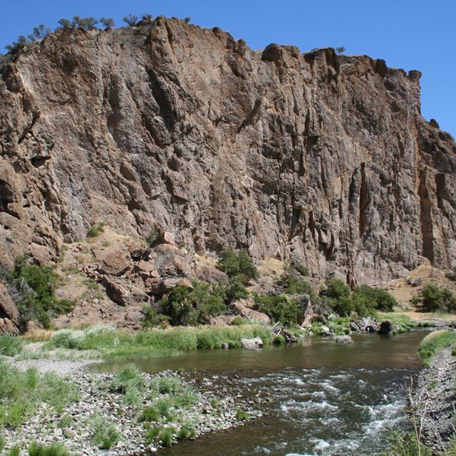
Tim Gohrke Window Into the PastStanding at almost any locality in the monument, views of distinctive rock layers abound. Each layer is a window into the past, preserving the fossilized remains of plants and animals, both familiar and strange. It is unlikely that a more complete and well-preserved record of Cenozoic terrestrial life exists anywhere in the world. For this reason, researchers from around the globe come here to share in the wonder of studying these amazing fossils. Examining the differences between each of the geologic strata helps researchers better understand how the region has changed through time. As knowledge about each of the layers grows, fundamental questions pertaining to the environment, climate, and the ancient life in western North America can be answered, providing a more complete understanding of part of Earth’s history. Layered RocksSedimentary layers are deposited in a time sequence, with the oldest on the bottom and the youngest at the top. Think of layers of rock as being pages in a book. As you continue paging through the book, you work from the youngest layer in a time sequence to the oldest. Though the former is not always the case, sometimes older rock may overlie younger formations. Faulting events or unconformities (missing sections of geologic time) can often pit old rock against young where there ought to be horizontal time continuity of rock layers. Geological Processes and the Origin of the EarthThe geology at the John Day Fossil Beds can be split into two broad categories: physical and historical. Physical geology describes the processes that form rocks, faulting events, and other geologic occurrences. Historical geology examines the origins of the Earth and life’s adaptations to a dynamic planet. Both of these categories are utilized to find fossils as well as research and describe the landscapes that dominate the area. How old are the rocks?John Day Fossil Beds are now dated through the study of zircons, which is a highly accurate method of determining the age of igneous rocks. Boise State University conducts the zircon dating for the monument. The university offers a detailed tutorial for the method of zircon dating. Click this link: ZirChron to learn more. Age MattersKnowing the age or relative time in which fossil bearing unit paleontologists prospect in can be the difference between finding a fossil or not. Having knowledge of how and where fossils occur, along with the regional lithology (physical characteristics of a rock unit) can help determine if fossil material may be present. A fossil taken from in-situ (its original position) without temporal data (how old the rock formation is) or stratigraphic reference (a point in a vertical column of rock) loses its ability to lend information to researchers. What Makes Fossils Favorable?To have fossil bearing rock there needs to be a set of favorable conditions. Physical geologic occurrences allow fossils to be preserved. Most fossilized organisms had a durable skeleton or structure, and lived in an environment where sedimentation (deposition of solid materials including ash fall) occurred frequently or rapidly. The historical geology at John Day Fossil Beds tells a story of plant progression and mammal evolution as climates changed from balmy swamps to arid steppe environments. Geologic TermsBasalt: A dark-colored volcanic rock composed of magnesium and iron-rich minerals.
Volcanic Sources of Ancient Oregon
|
Last updated: October 31, 2024


