NPS Photo
Overview
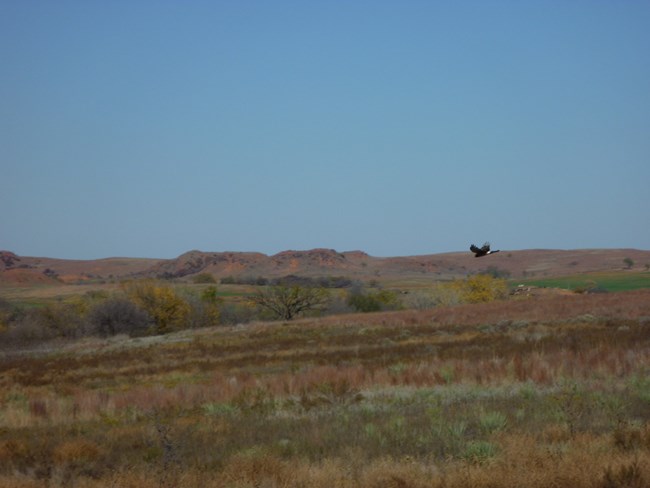
Washita Battlefield National Historic Site is fortunate to be located in an ecoregion that straddles both tall and short grass prairie ecosystems. In addition, it is also a meeting ground for arid southwestern species and plants from the eastern deciduus forests. Hence, once can find Great Plains Yucca and Prickly Pear Cactus growing in a very close proximity to American Elm, Eastern Redcedar, and Black Walnut. The most prominent plant species at the site are the grasses, particularly Little Bluestem, Switchgrass, and Indiangrass. These native bunchgrasses, when growing over large swaths of ground, ripple like ocean waves as afternoon breezes pass through.The Washita Battlefield National Historic Site Vegetation Inventory Project delivers many geospatial and vegetation data products, including an in-depth project report discussing methods and results, which include descriptions to vegetation associations, field keys to vegetation associations, map classification, and map-class descriptions. The suite of products also includes a database of vegetation plots, and accuracy assessment (AA) sites; digital images of field sites; digital aerial imagery; digital maps; a contingency table listing AA results; and a geodatabase of vegetation, field sites (vegetation plots, and AA sites), aerial imagery, project boundary, and metadata.
Products
The products of vegetation mapping projects are stored and managed in the National Park Service's Data Store, a repository for documents and publications relating to park resources. From the highlighted items below, click on the type of information you are looking for.
Last updated: October 19, 2018
