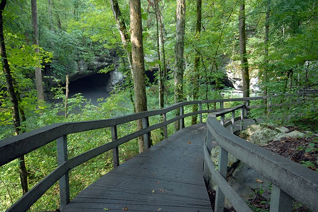
NPS Photo
Overview
Russell Cave National Monument is located in Jackson County, Alabama and occupies the southern terminus of the Appalachian Mountains in the southern Ridge and Valley ecoregion. The monument encompasses approximately 126 hectares with elevations ranging from 195-506 meters. The geology and vegetation of the monument is characterized by Pennsylvanian and Pottsville formation sandstone in the higher elevations that supports mostly oak dominated forests. Lower elevations are characterized by Mississippian limestone and shale which support forests dominated by more mesic and calciphitic vegetation.The Russell Cave National Monument Vegetation Inventory Project delivers many geospatial and vegetation data products, including an in-depth project report discussing methods and results, which include descriptions to vegetation associations, field keys to vegetation associations, map classification, and map-class descriptions. The suite of products also includes a database of vegetation plots, and accuracy assessment (AA) sites; digital images of field sites; digital aerial imagery; digital maps; a contingency table listing AA results; and a geodatabase of vegetation, field sites (vegetation plots, and AA sites), aerial imagery, project boundary, and metadata.
Products
The products of vegetation mapping projects are stored and managed in the National Park Service's Data Store, a repository for documents and publications relating to park resources. From the highlighted items below, click on the type of information you are looking for.
Last updated: October 19, 2018
