NPS Photo
Overview
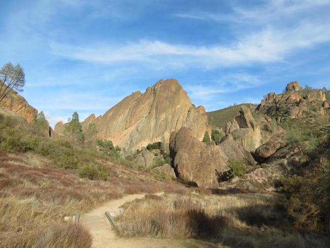
Vegetation at Pinnacles National Park may be broadly grouped into five major habitat types or vegetation associations, chaparral, woodlands, riparian, grasslands, and rock and scree. These associations result from a web of interactions amongst the various plant species and such factors as soil type, direction of exposure, slope, moisture regime and fire history. Recognizing the plants that characterize an association allows us to see the patterns of these co-occurring factors.The Pinnacles National Park Vegetation Inventory Project delivers many geospatial and vegetation data products, including an in-depth project report discussing methods and results, which include descriptions to vegetation associations, field keys to vegetation associations, map classification, and map-class descriptions. The suite of products also includes a database of vegetation plots, and accuracy assessment (AA) sites; digital images of field sites; digital aerial imagery; digital maps; a contingency table listing AA results; and a geodatabase of vegetation, field sites (vegetation plots, and AA sites), aerial imagery, project boundary, and metadata.
Products
The products of vegetation mapping projects are stored and managed in the National Park Service's Data Store, a repository for documents and publications relating to park resources. From the highlighted items below, click on the type of information you are looking for.
Last updated: October 19, 2018
