NPS Photo
Overview
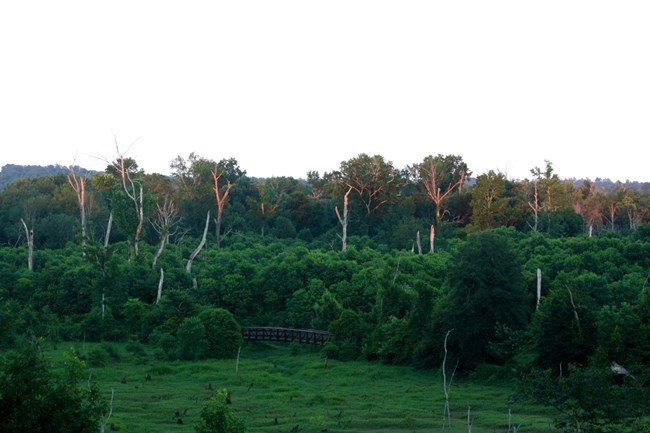
Ocmulgee Mounds National Historical Park is located along the Ocmulgee River in central Georgia at the "Fall Line," a unique strip of land stretching from South Carolina across Georgia into Alabama. The environmental variations within this region afford diverse natural resources and habitat for a rich variety of plants and wildlife, including a number of endangered and threatened species. The park's 702 acres encompass upland fields and forests, and wetlands along Walnut Creek and the river. The most visible features on the landscape are the ceremonial earthen mounds constructed by American Indians during the Mississippian Period between AD 900 and 1650.The Ocmulgee National Historical Park Vegetation Inventory Project delivers many geospatial and vegetation data products, including an in-depth project report discussing methods and results, which include descriptions to vegetation associations, field keys to vegetation associations, map classification, and map-class descriptions. The suite of products also includes a database of vegetation plots, and accuracy assessment (AA) sites; digital images of field sites; digital aerial imagery; digital maps; a contingency table listing AA results; and a geodatabase of vegetation, field sites (vegetation plots, and AA sites), aerial imagery, project boundary, and metadata.
Products
The products of vegetation mapping projects are stored and managed in the National Park Service's Data Store, a repository for documents and publications relating to park resources. From the highlighted items below, click on the type of information you are looking for.
Last updated: February 10, 2020
